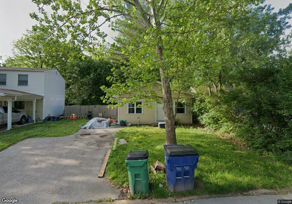
70 Cedar Brook Dr Pacific, MO 63069
Estimated Value: $167,000 - $211,000
3
Beds
1
Bath
960
Sq Ft
$197/Sq Ft
Est. Value
About This Home
This home is located at 70 Cedar Brook Dr, Pacific, MO 63069 and is currently estimated at $188,750, approximately $196 per square foot. 70 Cedar Brook Dr is a home located in Franklin County with nearby schools including Pacific High School and St Bridget Elementary School.
Ownership History
Date
Name
Owned For
Owner Type
Purchase Details
Closed on
Sep 22, 2009
Sold by
Streamline Properties Llc
Bought by
Schuenemeyer James Lee
Current Estimated Value
Home Financials for this Owner
Home Financials are based on the most recent Mortgage that was taken out on this home.
Original Mortgage
$89,250
Outstanding Balance
$58,635
Interest Rate
5.36%
Mortgage Type
New Conventional
Estimated Equity
$130,115
Purchase Details
Closed on
May 29, 2009
Sold by
Henry Cynthia
Bought by
Franklin Propertis Llc
Home Financials for this Owner
Home Financials are based on the most recent Mortgage that was taken out on this home.
Original Mortgage
$26,000
Interest Rate
4.7%
Mortgage Type
Future Advance Clause Open End Mortgage
Create a Home Valuation Report for This Property
The Home Valuation Report is an in-depth analysis detailing your home's value as well as a comparison with similar homes in the area
Home Values in the Area
Average Home Value in this Area
Purchase History
| Date | Buyer | Sale Price | Title Company |
|---|---|---|---|
| Schuenemeyer James Lee | -- | None Available | |
| Franklin Propertis Llc | -- | None Available | |
| Steamline Properties Llc | -- | None Available |
Source: Public Records
Mortgage History
| Date | Status | Borrower | Loan Amount |
|---|---|---|---|
| Open | Schuenemeyer James Lee | $89,250 | |
| Previous Owner | Steamline Properties Llc | $26,000 | |
| Previous Owner | Steamline Properties Llc | $43,000 |
Source: Public Records
Tax History
| Year | Tax Paid | Tax Assessment Tax Assessment Total Assessment is a certain percentage of the fair market value that is determined by local assessors to be the total taxable value of land and additions on the property. | Land | Improvement |
|---|---|---|---|---|
| 2025 | $1,608 | $21,329 | $0 | $0 |
| 2024 | $1,608 | $19,245 | $0 | $0 |
| 2023 | $1,453 | $19,245 | $0 | $0 |
| 2022 | $1,250 | $18,022 | $0 | $0 |
| 2021 | $1,245 | $18,022 | $0 | $0 |
| 2020 | $1,153 | $16,678 | $0 | $0 |
| 2019 | $1,151 | $16,678 | $0 | $0 |
| 2018 | $1,081 | $15,346 | $0 | $0 |
| 2017 | $1,074 | $15,346 | $0 | $0 |
| 2016 | $1,118 | $15,814 | $0 | $0 |
| 2015 | $1,087 | $15,814 | $0 | $0 |
| 2014 | $1,086 | $16,068 | $0 | $0 |
Source: Public Records
Map
Nearby Homes
- 69 Cedar Ledge
- 668 #12 Highlands Ct Ct
- 667 #9 Highlands Rd
- 652 Ct
- 1837 Oak St
- 2326 Silver Lake Estates Dr
- 2235 Silver Lake Estates Dr
- 984 Westlake Village Dr
- 6827 Eagles Landing Ct
- 122 Winter Wheat Trail
- 1796 Meade Ct
- 1719 W Hawthorne Dr
- 6828 Eagles View Dr
- 926 Wisdom Ln
- 127 Phelan St
- 144 Winter Wheat Trail
- 1745 Lake Meade Dr
- 1632 Westlake Cir
- 707 S Hawthorne Dr
- 1505 Cypress Dr
- 68 Cedar Brook Dr
- 72 Cedar Brook Dr
- 66 Cedar Brook Dr
- 67 Cedar Brook Dr
- 63 Cedar Brook Dr
- 74 Cedar Brook Dr
- 71 Cedar Brook Dr
- 73 Cedar Brook Dr
- 76 Cedar Brook Dr
- 64 Cedar Brook Dr
- 78 Cedar Brook Dr
- 77 Cedar Brook Dr
- 61 Cedar Brook Dr
- 0 Cedar Brook Dr
- 60 Cedar Ledge
- 59 Cedar Brook Dr
- 62 Cedar Ledge
- 79 Cedar Brook Dr
- 80 Cedar Brook Dr
- 58 Cedar Ledge
Your Personal Tour Guide
Ask me questions while you tour the home.