70 Cronk Rd Monterey, MA 01245
Estimated Value: $487,363 - $638,000
2
Beds
2
Baths
880
Sq Ft
$628/Sq Ft
Est. Value
About This Home
This home is located at 70 Cronk Rd, Monterey, MA 01245 and is currently estimated at $552,591, approximately $627 per square foot. 70 Cronk Rd is a home located in Berkshire County with nearby schools including Mt. Everett High School.
Ownership History
Date
Name
Owned For
Owner Type
Purchase Details
Closed on
Apr 28, 1995
Sold by
Durchanet Richard E and Durchanet Julia H
Bought by
Ripe Dream Rt
Current Estimated Value
Home Financials for this Owner
Home Financials are based on the most recent Mortgage that was taken out on this home.
Original Mortgage
$76,000
Interest Rate
8.33%
Mortgage Type
Purchase Money Mortgage
Create a Home Valuation Report for This Property
The Home Valuation Report is an in-depth analysis detailing your home's value as well as a comparison with similar homes in the area
Home Values in the Area
Average Home Value in this Area
Purchase History
| Date | Buyer | Sale Price | Title Company |
|---|---|---|---|
| Ripe Dream Rt | $95,000 | -- | |
| Ripe Dream Rt | $95,000 | -- |
Source: Public Records
Mortgage History
| Date | Status | Borrower | Loan Amount |
|---|---|---|---|
| Open | Ripe Dream Rt | $72,000 | |
| Closed | Ripe Dream Rt | $76,000 |
Source: Public Records
Tax History Compared to Growth
Tax History
| Year | Tax Paid | Tax Assessment Tax Assessment Total Assessment is a certain percentage of the fair market value that is determined by local assessors to be the total taxable value of land and additions on the property. | Land | Improvement |
|---|---|---|---|---|
| 2025 | $2,512 | $390,100 | $177,700 | $212,400 |
| 2024 | $2,391 | $390,100 | $177,700 | $212,400 |
| 2023 | $2,100 | $344,800 | $177,700 | $167,100 |
| 2022 | $2,308 | $317,000 | $177,700 | $139,300 |
| 2021 | $2,305 | $317,000 | $177,700 | $139,300 |
| 2020 | $2,355 | $317,000 | $177,700 | $139,300 |
| 2019 | $2,346 | $317,000 | $177,700 | $139,300 |
| 2018 | $2,309 | $312,900 | $177,700 | $135,200 |
| 2017 | $2,284 | $312,900 | $177,700 | $135,200 |
| 2016 | $1,956 | $312,900 | $177,700 | $135,200 |
| 2015 | $1,852 | $312,900 | $177,700 | $135,200 |
Source: Public Records
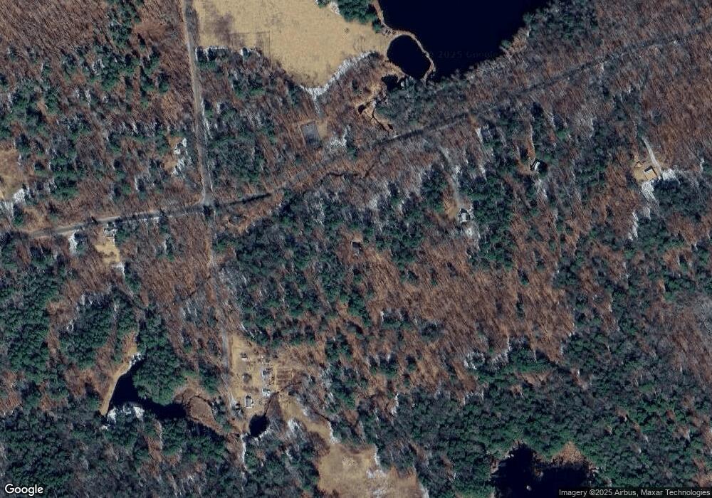
Map
Nearby Homes
- 0 Sandisfield Rd
- 1 Main Rd
- 535 Main Rd
- 2017 Monterey Rd
- 0 Jamie Ln
- 0 Norwalk Acres Rd Unit 242782
- 14 Norwalk Acres Rd
- 104 Hupi Rd
- 0 Tyringham Rd
- 139 Tyringham Rd
- 10 Art School Rd
- 8 Hemlock Rd
- 293 Sandisfield Rd
- 0 Gould Rd
- 0 West St
- 194 Sandisfield Rd
- 13 Hayes Pond Rd
- 165 Sandisfield Rd
- 119 Hayes Pond Rd
- 0 Hartsville-New Marlborough Rd