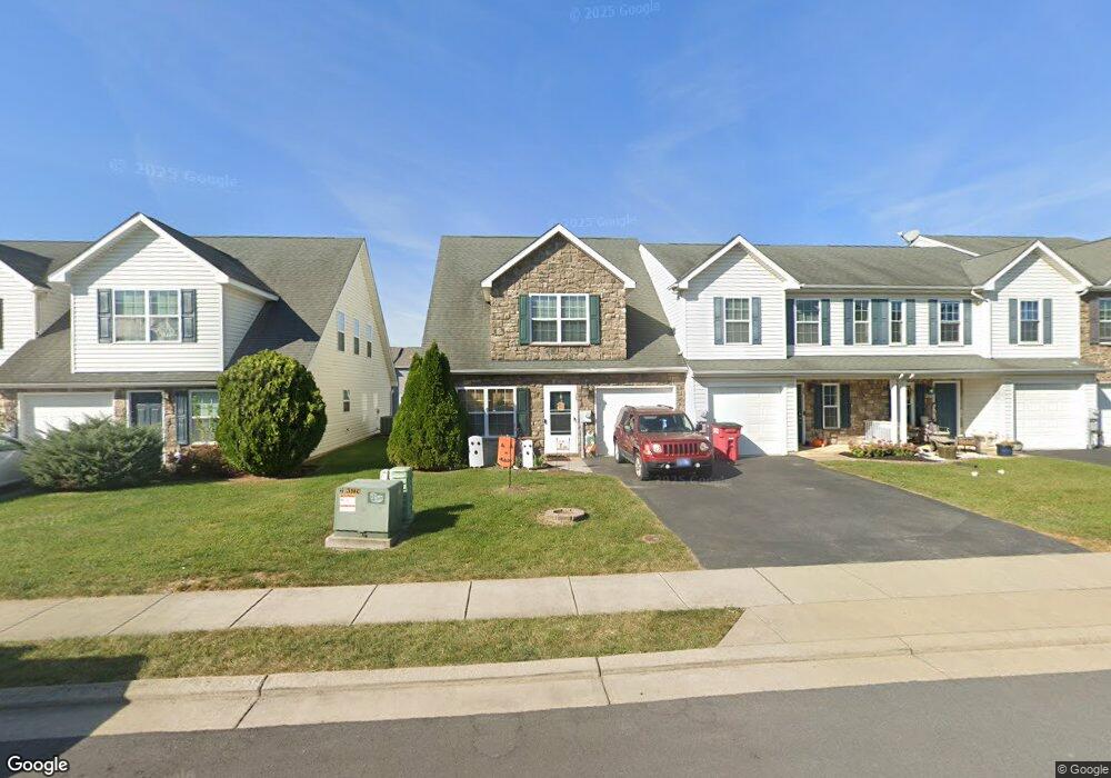
70 Fuzzy Tail Dr Ranson, WV 25438
Estimated Value: $288,000 - $345,000
3
Beds
3
Baths
1,893
Sq Ft
$165/Sq Ft
Est. Value
About This Home
This home is located at 70 Fuzzy Tail Dr, Ranson, WV 25438 and is currently estimated at $313,117, approximately $165 per square foot. 70 Fuzzy Tail Dr is a home located in Jefferson County with nearby schools including T.A. Lowery Elementary School, Wildwood Middle School, and Jefferson High School.
Ownership History
Date
Name
Owned For
Owner Type
Purchase Details
Closed on
Jan 16, 2008
Sold by
Builders Unlimited Inc
Bought by
Harner James Michael and Harner Dana A
Current Estimated Value
Home Financials for this Owner
Home Financials are based on the most recent Mortgage that was taken out on this home.
Original Mortgage
$224,640
Outstanding Balance
$141,303
Interest Rate
6.18%
Mortgage Type
VA
Estimated Equity
$171,814
Create a Home Valuation Report for This Property
The Home Valuation Report is an in-depth analysis detailing your home's value as well as a comparison with similar homes in the area
Home Values in the Area
Average Home Value in this Area
Purchase History
| Date | Buyer | Sale Price | Title Company |
|---|---|---|---|
| Harner James Michael | $217,464 | None Available |
Source: Public Records
Mortgage History
| Date | Status | Borrower | Loan Amount |
|---|---|---|---|
| Open | Harner James Michael | $224,640 |
Source: Public Records
Tax History
| Year | Tax Paid | Tax Assessment Tax Assessment Total Assessment is a certain percentage of the fair market value that is determined by local assessors to be the total taxable value of land and additions on the property. | Land | Improvement |
|---|---|---|---|---|
| 2025 | $2,079 | $148,500 | $51,000 | $97,500 |
| 2024 | $1,997 | $140,600 | $51,000 | $89,600 |
| 2023 | $1,907 | $134,500 | $44,900 | $89,600 |
| 2022 | $1,788 | $124,000 | $44,900 | $79,100 |
| 2021 | $1,544 | $105,400 | $34,600 | $70,800 |
| 2020 | $1,399 | $100,800 | $29,200 | $71,600 |
| 2019 | $1,328 | $94,500 | $22,900 | $71,600 |
| 2018 | $1,321 | $92,700 | $22,900 | $69,800 |
| 2017 | $1,321 | $92,700 | $22,900 | $69,800 |
| 2016 | $1,325 | $93,500 | $22,900 | $70,600 |
| 2015 | $1,282 | $89,800 | $22,900 | $66,900 |
| 2014 | $1,290 | $90,500 | $22,900 | $67,600 |
Source: Public Records
Map
Nearby Homes
- 363 Anthem St
- 54 Coolidge Ave
- The Millville Plan at Presidents Pointe - Townhomes
- 31 Capitol Mews
- 271 Swan Field Ave
- 295 Short Branch Dr
- 303 Short Branch Dr
- 316 Anthem St
- 431 Presidents Pointe Ave
- 435 Presidents Pointe Ave
- 439 Presidents Pointe Ave
- 443 Presidents Pointe Ave
- 447 Presidents Pointe Ave
- 451 Presidents Pointe Ave
- 1354 Wallace Blvd
- 344 Anthem St
- 455 Presidents Pointe Ave
- 1214 Wallace Blvd
- 1254 Wallace Blvd
- 1054 Wallace Blvd
- 66 Fuzzy Tail Dr
- 80 Fuzzy Tail Dr
- 62 Fuzzy Tail Dr
- 84 Fuzzy Tail Dr
- 58 Fuzzy Tail Dr
- 88 Fuzzy Tail Dr
- 54 Fuzzy Tail Dr
- 96 Fuzzy Tail Dr
- 46 Fuzzy Tail Dr
- 79 Cecily Way
- 71 Cecily Way
- 67 Cecily Way
- 100 Fuzzy Tail Dr
- 87 Cecily Way
- 42 Fuzzy Tail Dr
- 71 Fuzzy Tail Dr
- 55 Fuzzy Trail
- 67 Fuzzy Tail Dr
- 79 Fuzzy Tail Dr
- 51 Cecily Way
Your Personal Tour Guide
Ask me questions while you tour the home.