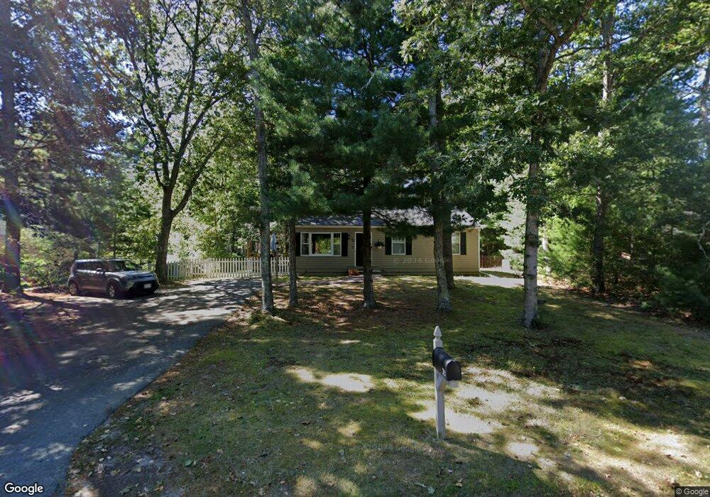
70 Harriette Rd East Falmouth, MA 02536
Hatchville NeighborhoodEstimated Value: $500,000 - $582,000
3
Beds
1
Bath
988
Sq Ft
$542/Sq Ft
Est. Value
About This Home
This home is located at 70 Harriette Rd, East Falmouth, MA 02536 and is currently estimated at $535,806, approximately $542 per square foot. 70 Harriette Rd is a home located in Barnstable County with nearby schools including Mullen-Hall School, Morse Pond School, and Lawrence School.
Ownership History
Date
Name
Owned For
Owner Type
Purchase Details
Closed on
Mar 7, 2024
Sold by
Crobar John A and Crobar Jane E
Bought by
Crobar Jane E
Current Estimated Value
Purchase Details
Closed on
Jul 27, 1981
Bought by
Crobar John A and Crobar Jane E
Create a Home Valuation Report for This Property
The Home Valuation Report is an in-depth analysis detailing your home's value as well as a comparison with similar homes in the area
Home Values in the Area
Average Home Value in this Area
Purchase History
| Date | Buyer | Sale Price | Title Company |
|---|---|---|---|
| Crobar Jane E | -- | None Available | |
| Crobar Jane E | -- | None Available | |
| Crobar John A | $9,500 | -- |
Source: Public Records
Mortgage History
| Date | Status | Borrower | Loan Amount |
|---|---|---|---|
| Previous Owner | Crobar John A | $165,000 | |
| Previous Owner | Crobar John A | $80,000 | |
| Previous Owner | Crobar John A | $40,000 | |
| Previous Owner | Crobar John A | $10,000 |
Source: Public Records
Tax History Compared to Growth
Tax History
| Year | Tax Paid | Tax Assessment Tax Assessment Total Assessment is a certain percentage of the fair market value that is determined by local assessors to be the total taxable value of land and additions on the property. | Land | Improvement |
|---|---|---|---|---|
| 2025 | $2,457 | $418,600 | $159,500 | $259,100 |
| 2024 | $2,429 | $386,800 | $151,100 | $235,700 |
| 2023 | $2,434 | $351,700 | $151,100 | $200,600 |
| 2022 | $2,087 | $259,300 | $113,900 | $145,400 |
| 2021 | $2,015 | $237,100 | $108,900 | $128,200 |
| 2020 | $1,952 | $227,200 | $99,000 | $128,200 |
| 2019 | $1,876 | $219,200 | $99,000 | $120,200 |
| 2018 | $1,831 | $212,900 | $99,000 | $113,900 |
| 2017 | $1,780 | $208,700 | $99,000 | $109,700 |
| 2016 | $1,747 | $208,700 | $99,000 | $109,700 |
| 2015 | $1,709 | $208,700 | $99,000 | $109,700 |
| 2014 | $1,735 | $212,900 | $104,300 | $108,600 |
Source: Public Records
Map
Nearby Homes
- 12 Beach Plum Path
- 4 Josiah Path
- 7 Josiah Path
- 18 Josiah Path
- 20 Josiah Path
- 21 Josiah Path
- 30 Josiah Path
- 12 Rock Hollow Dr
- 34 Mckenna Ridge Rd
- 59 Whitecaps Dr
- 61 Mckenna Ridge Dr
- 68 Deepwood Dr
- 17 Pinewood Dr
- 273 Sandwich Rd
- 32 Jamie Ln
- 149 Brick Kiln Rd
- 25 Percival Rd
- 63 Pine Valley Dr Unit 63 aka 30A
- 70 Meredith Dr
- 64 Harriette Rd
- 76 Harriette Rd
- 51 Locustfield Rd
- 75 Harriette Rd
- 82 Harriette Rd
- 485 Locustfield Rd
- 60 Harriette Rd
- 490 Locustfield Rd
- 63 Harriette Rd
- 83 Harriette Rd
- 10 Capricorn Cir
- 502 Locustfield Rd
- 481 Locustfield Rd
- 54 Harriette Rd
- 481 Locustfield Rd
- 7 Capricorn Cir
- 478 Locustfield Rd
- 87 Harriette Rd
- 90 Harriette Rd
- 498 Locustfield Rd