70 Heights Rd Gilford, NH 03249
Estimated Value: $381,386 - $634,000
2
Beds
1
Bath
672
Sq Ft
$724/Sq Ft
Est. Value
About This Home
This home is located at 70 Heights Rd, Gilford, NH 03249 and is currently estimated at $486,347, approximately $723 per square foot. 70 Heights Rd is a home located in Belknap County with nearby schools including Gilford Elementary School, Gilford Middle School, and Gilford High School.
Ownership History
Date
Name
Owned For
Owner Type
Purchase Details
Closed on
Feb 20, 2002
Sold by
Bedner Russell and Bedner Donna
Bought by
Alexander Kathleen M and Alexander Bruce W
Current Estimated Value
Home Financials for this Owner
Home Financials are based on the most recent Mortgage that was taken out on this home.
Original Mortgage
$96,000
Interest Rate
7.08%
Create a Home Valuation Report for This Property
The Home Valuation Report is an in-depth analysis detailing your home's value as well as a comparison with similar homes in the area
Home Values in the Area
Average Home Value in this Area
Purchase History
| Date | Buyer | Sale Price | Title Company |
|---|---|---|---|
| Alexander Kathleen M | $120,000 | -- |
Source: Public Records
Mortgage History
| Date | Status | Borrower | Loan Amount |
|---|---|---|---|
| Open | Alexander Kathleen M | $86,116 | |
| Closed | Alexander Kathleen M | $90,500 | |
| Closed | Alexander Kathleen M | $96,000 |
Source: Public Records
Tax History Compared to Growth
Tax History
| Year | Tax Paid | Tax Assessment Tax Assessment Total Assessment is a certain percentage of the fair market value that is determined by local assessors to be the total taxable value of land and additions on the property. | Land | Improvement |
|---|---|---|---|---|
| 2024 | $3,933 | $349,560 | $194,660 | $154,900 |
| 2023 | $3,600 | $349,560 | $194,660 | $154,900 |
| 2022 | $2,959 | $241,530 | $121,230 | $120,300 |
| 2021 | $2,966 | $241,530 | $121,230 | $120,300 |
| 2020 | $2,911 | $193,680 | $110,880 | $82,800 |
| 2019 | $2,583 | $162,850 | $85,850 | $77,000 |
| 2018 | $2,668 | $156,550 | $85,850 | $70,700 |
| 2017 | $7,433 | $156,550 | $85,850 | $70,700 |
| 2016 | $7,274 | $130,950 | $69,750 | $61,200 |
| 2015 | $2,286 | $127,190 | $65,190 | $62,000 |
| 2011 | $2,293 | $123,600 | $73,400 | $50,200 |
Source: Public Records
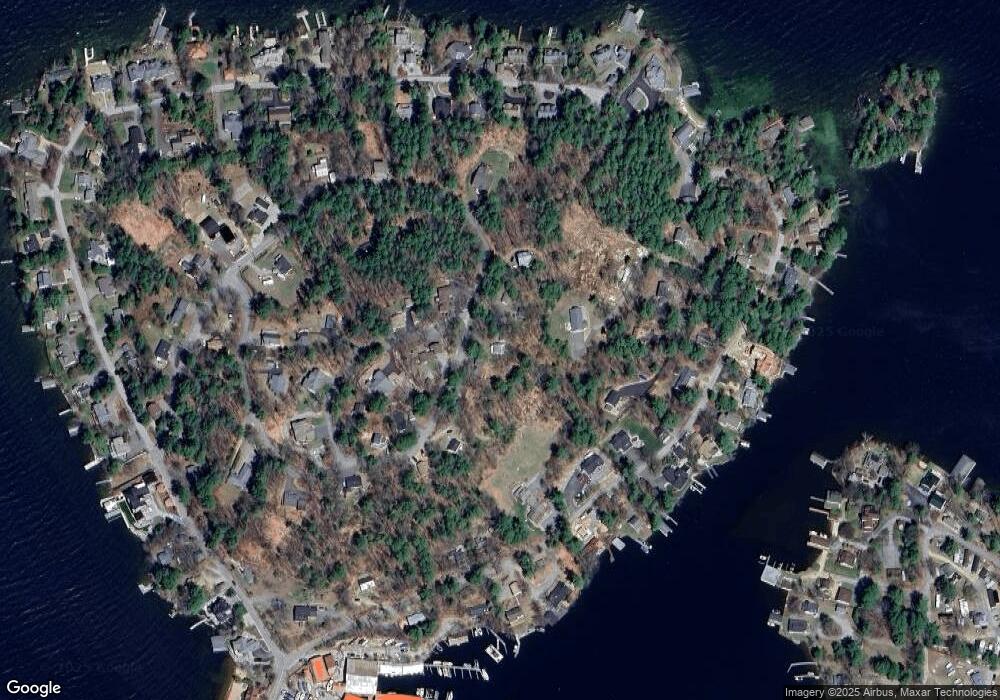
Map
Nearby Homes
- 110 Heights Rd
- 47 Varney Point Road Right
- 63 Varney Point Road Right
- 16 Varney Point Road Left
- 24 Dock Rd Unit 22
- 24 Dock Rd Unit 18
- 19 Smith Cove Rd
- 46 Glendale Place Unit 1
- 41 Glendale Place Unit 13 A & B
- 1996 Lake Shore Rd
- 12 Wildwood Rd
- 78 Belknap Point Rd
- 17 Harris Shore Rd Unit 410D
- 73 Weirs
- 73 Weirs Rd
- 73 Weirs Slip I-22
- 60 Weirs Rd Unit D2
- 115 Weirs Rd Unit 109B
- 109 Dockham Shore Rd Unit 1
- 118 Weirs Rd Unit G05
- 66 Heights Rd
- 74 Heights Rd
- 78 Heights Rd
- 23 Haven Rd
- 111 Heights Rd
- 120 Heights Rd
- 62 Heights Rd
- 80 Heights Rd
- 13 Carey Rd
- 83 Heights Rd
- 7 Carey Rd
- 114 Heights Rd
- 45 Heights Rd
- 105 Heights Rd
- 40 Varney Point Road Right
- 86 Heights Rd
- 48 Varney Point Road Right
- 91 Heights Rd
- 32 Varney Point Road Right
- 3 Carey Rd