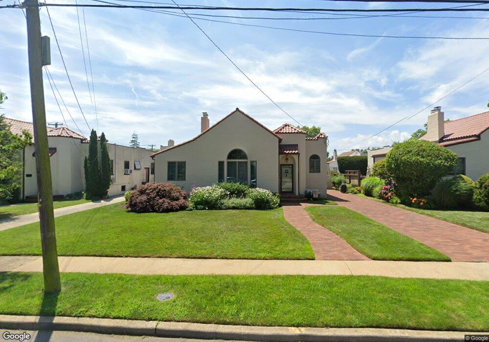
70 Henry St Merrick, NY 11566
Estimated Value: $713,762 - $809,000
--
Bed
1
Bath
1,777
Sq Ft
$428/Sq Ft
Est. Value
About This Home
This home is located at 70 Henry St, Merrick, NY 11566 and is currently estimated at $761,381, approximately $428 per square foot. 70 Henry St is a home located in Nassau County with nearby schools including Merrick Avenue Middle School, Sanford H Calhoun High School, and St. Elizabeth Ann Seton Regional School.
Ownership History
Date
Name
Owned For
Owner Type
Purchase Details
Closed on
Apr 20, 2007
Sold by
Primacy Closing Corp
Bought by
Wendell Richard
Current Estimated Value
Purchase Details
Closed on
Feb 27, 2007
Sold by
Laird Paul
Bought by
Primacy Closing Corp
Purchase Details
Closed on
May 31, 2005
Sold by
Chorost Mitchell
Bought by
Laird Paul
Purchase Details
Closed on
Jun 1, 2000
Sold by
Larsen Scott B
Bought by
Chorost Mitchell
Purchase Details
Closed on
Jan 5, 1996
Sold by
Winaker Laurence and Winaker Rhea
Bought by
Larsen Scott and Larsen Alison
Home Financials for this Owner
Home Financials are based on the most recent Mortgage that was taken out on this home.
Original Mortgage
$174,370
Interest Rate
7.31%
Create a Home Valuation Report for This Property
The Home Valuation Report is an in-depth analysis detailing your home's value as well as a comparison with similar homes in the area
Home Values in the Area
Average Home Value in this Area
Purchase History
| Date | Buyer | Sale Price | Title Company |
|---|---|---|---|
| Wendell Richard | $565,000 | -- | |
| Primacy Closing Corp | $565,000 | -- | |
| Laird Paul | $564,000 | -- | |
| Chorost Mitchell | $330,000 | Susan Schmidt | |
| Larsen Scott | $183,550 | -- |
Source: Public Records
Mortgage History
| Date | Status | Borrower | Loan Amount |
|---|---|---|---|
| Previous Owner | Larsen Scott | $174,370 |
Source: Public Records
Tax History Compared to Growth
Tax History
| Year | Tax Paid | Tax Assessment Tax Assessment Total Assessment is a certain percentage of the fair market value that is determined by local assessors to be the total taxable value of land and additions on the property. | Land | Improvement |
|---|---|---|---|---|
| 2025 | $13,494 | $504 | $191 | $313 |
| 2024 | $3,685 | $561 | $213 | $348 |
| 2023 | $12,513 | $540 | $205 | $335 |
| 2022 | $12,513 | $561 | $213 | $348 |
| 2021 | $12,839 | $540 | $205 | $335 |
| 2020 | $6,052 | $698 | $490 | $208 |
| 2019 | $11,272 | $698 | $490 | $208 |
| 2018 | $10,494 | $698 | $0 | $0 |
| 2017 | $6,606 | $698 | $490 | $208 |
| 2016 | $9,414 | $698 | $441 | $257 |
| 2015 | $2,738 | $737 | $466 | $271 |
| 2014 | $2,738 | $737 | $466 | $271 |
| 2013 | $2,727 | $775 | $490 | $285 |
Source: Public Records
Map
Nearby Homes
- 103 Frankel Blvd
- 114 Frankel Blvd
- 163 Wynsum Ave
- 16 Ocean Ave
- 1360-1370 Merrick Rd
- 715 Farmers Ave
- 2355 Mitchell Place
- 119 Ocean Ave
- 217 Bayview Ave
- 123 Mitchell St
- 23 Bay St
- 105 Howell St
- 204 Hewlett Ave
- 204 Howell St
- 2083 Elm Place
- 601 Hughes St
- 205 Howell St
- 2492 Lefferts Place
- 2077 Byron Rd
- 201 Argyle Place