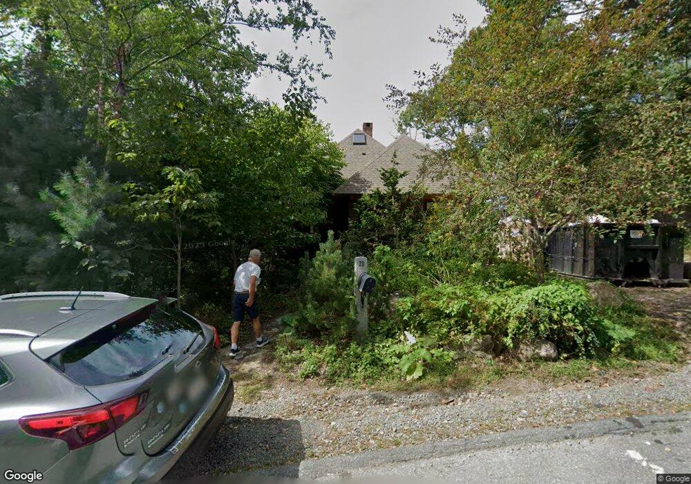
70 Holly St Gloucester, MA 01930
Estimated Value: $997,000 - $1,751,000
2
Beds
3
Baths
2,448
Sq Ft
$579/Sq Ft
Est. Value
About This Home
This home is located at 70 Holly St, Gloucester, MA 01930 and is currently estimated at $1,417,256, approximately $578 per square foot. 70 Holly St is a home located in Essex County with nearby schools including Plum Cove School, Ralph B O'maley Middle School, and Gloucester High School.
Ownership History
Date
Name
Owned For
Owner Type
Purchase Details
Closed on
Jul 13, 2004
Sold by
Goose Me Rt and Hackett Laurette M
Bought by
Wenniger Mace
Current Estimated Value
Purchase Details
Closed on
Aug 29, 2003
Sold by
Lindberg Parker C
Bought by
Goose Me Rt and Lindberg Gary M
Create a Home Valuation Report for This Property
The Home Valuation Report is an in-depth analysis detailing your home's value as well as a comparison with similar homes in the area
Purchase History
| Date | Buyer | Sale Price | Title Company |
|---|---|---|---|
| Wenniger Mace | $395,000 | -- | |
| Goose Me Rt | $210,000 | -- |
Source: Public Records
Mortgage History
| Date | Status | Borrower | Loan Amount |
|---|---|---|---|
| Open | Goose Me Rt | $938,250 | |
| Closed | Goose Me Rt | $425,000 | |
| Closed | Goose Me Rt | $100,000 | |
| Closed | Goose Me Rt | $300,000 |
Source: Public Records
Tax History
| Year | Tax Paid | Tax Assessment Tax Assessment Total Assessment is a certain percentage of the fair market value that is determined by local assessors to be the total taxable value of land and additions on the property. | Land | Improvement |
|---|---|---|---|---|
| 2025 | $15,931 | $1,639,000 | $886,300 | $752,700 |
| 2024 | $15,536 | $1,596,700 | $844,000 | $752,700 |
| 2023 | $14,601 | $1,378,800 | $720,800 | $658,000 |
| 2022 | $14,254 | $1,215,200 | $625,800 | $589,400 |
| 2021 | $13,754 | $1,105,600 | $568,800 | $536,800 |
| 2020 | $13,694 | $1,110,600 | $568,800 | $541,800 |
| 2019 | $13,132 | $1,034,800 | $542,400 | $492,400 |
| 2018 | $12,762 | $987,000 | $529,100 | $457,900 |
| 2017 | $12,375 | $938,200 | $503,800 | $434,400 |
| 2016 | $11,852 | $870,800 | $481,900 | $388,900 |
| 2015 | $11,385 | $834,100 | $470,900 | $363,200 |
Source: Public Records
Map
Nearby Homes
- 672 Washington St
- 2 Finch Ln
- 13 Honeysuckle Rd
- 7 Colburn St
- 226 Atlantic St
- 167 Atlantic St
- 16 Hodgkins Rd Unit 2
- 27 Hodgkins Rd
- 98 Maplewood Ave
- 16 Cleveland Place Unit 11
- 6 Monroe Ct
- 43 High St Unit B
- 40 Sargent St
- 19 Trask St Unit 2
- 10 Emerald St
- 177 Main St
- 10 Oak St Unit 3
- 33 Maplewood Ave Unit 16
- 26 Marina Dr
- 15 Harvard St
Your Personal Tour Guide
Ask me questions while you tour the home.