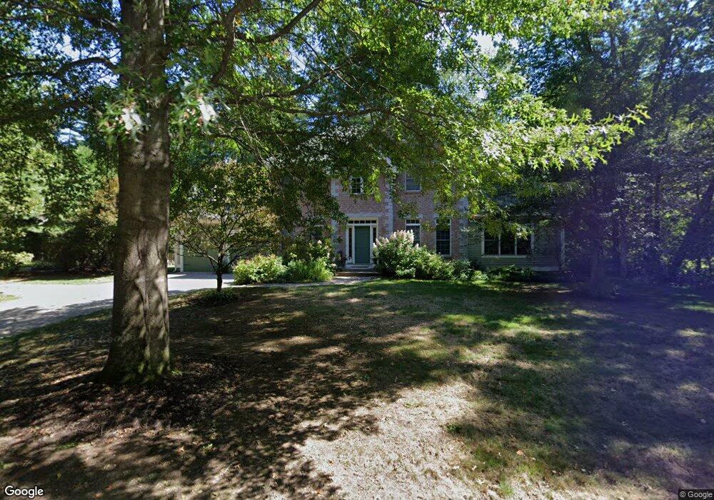
70 Hop Brook Rd Amherst, MA 01002
Estimated Value: $803,000 - $963,000
3
Beds
3
Baths
2,547
Sq Ft
$346/Sq Ft
Est. Value
About This Home
This home is located at 70 Hop Brook Rd, Amherst, MA 01002 and is currently estimated at $882,197, approximately $346 per square foot. 70 Hop Brook Rd is a home located in Hampshire County with nearby schools including Fort River Elementary School, Amherst Regional Middle School, and Amherst Regional High School.
Ownership History
Date
Name
Owned For
Owner Type
Purchase Details
Closed on
Jan 3, 2019
Sold by
Maroney Michael J and Palmer Sharon M
Bought by
Michael J Maroney 2020 T
Current Estimated Value
Purchase Details
Closed on
Jun 14, 2002
Sold by
Tofing Associates Inc
Bought by
Maroney Michael J and Palmer Sharon M
Home Financials for this Owner
Home Financials are based on the most recent Mortgage that was taken out on this home.
Original Mortgage
$395,000
Interest Rate
6.8%
Mortgage Type
Purchase Money Mortgage
Create a Home Valuation Report for This Property
The Home Valuation Report is an in-depth analysis detailing your home's value as well as a comparison with similar homes in the area
Home Values in the Area
Average Home Value in this Area
Purchase History
| Date | Buyer | Sale Price | Title Company |
|---|---|---|---|
| Michael J Maroney 2020 T | -- | None Available | |
| Maroney Michael J | $85,000 | -- |
Source: Public Records
Mortgage History
| Date | Status | Borrower | Loan Amount |
|---|---|---|---|
| Previous Owner | Maroney Michael J | $315,000 | |
| Previous Owner | Maroney Michael J | $363,000 | |
| Previous Owner | Maroney Michael J | $395,000 |
Source: Public Records
Tax History Compared to Growth
Tax History
| Year | Tax Paid | Tax Assessment Tax Assessment Total Assessment is a certain percentage of the fair market value that is determined by local assessors to be the total taxable value of land and additions on the property. | Land | Improvement |
|---|---|---|---|---|
| 2025 | $163 | $908,000 | $206,200 | $701,800 |
| 2024 | $15,861 | $856,900 | $194,600 | $662,300 |
| 2023 | $15,095 | $751,000 | $177,000 | $574,000 |
| 2022 | $14,729 | $692,500 | $160,900 | $531,600 |
| 2021 | $14,076 | $645,100 | $149,000 | $496,100 |
| 2020 | $13,754 | $645,100 | $149,000 | $496,100 |
| 2019 | $13,097 | $600,800 | $149,000 | $451,800 |
| 2018 | $12,701 | $600,800 | $149,000 | $451,800 |
| 2017 | $11,934 | $546,700 | $142,000 | $404,700 |
| 2016 | $11,601 | $546,700 | $142,000 | $404,700 |
| 2015 | $11,229 | $546,700 | $142,000 | $404,700 |
Source: Public Records
Map
Nearby Homes
- 481 Old Farm Rd
- 53 Pine Grove Unit 53
- 57 Tanglewood Rd
- 100 Larkspur Dr
- 96 Logtown Rd
- 265 Stanley St
- 130 Linden Ridge Rd
- 324 Pomeroy Ln
- 14 Pebble Ridge Rd
- 0 Heatherstone Rd
- 61 S Valley Rd
- 170 E Hadley Rd Unit 46
- 365 Middle St
- 0 Amherst Rd
- 9 Harkness Rd
- 48 Gray St
- 0 W Pomeroy Ln
- 41 Arnold Rd
- 26 Greenleaves Dr Unit 620
- 66 Longmeadow Dr
- 64 Hop Brook Rd
- 525 Old Farm Rd
- 501 Old Farm Rd
- 521 Old Farm Rd
- 56 Hop Brook Rd
- 511 Old Farm Rd
- 499 Old Farm Rd
- 507 Old Farm Rd
- 518 Old Farm Rd
- 491 Old Farm Rd
- 487 Old Farm Rd
- 19 Woodlot Rd
- 14 Woodlot Rd
- 51 Hop Brook Rd
- 21 Woodlot Rd
- 211 Wildflower Dr
- 43 Hop Brook Rd
- 24 Woodlot Rd
- 488 Old Farm Rd
- 195 Wildflower Dr