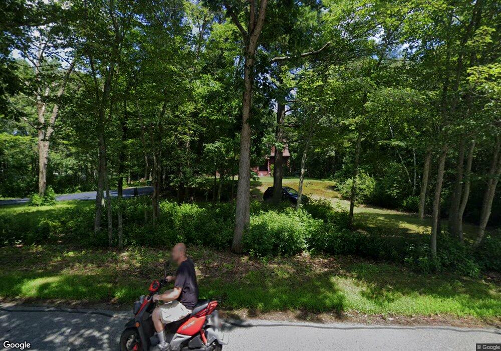
70 Johnson Rd Uxbridge, MA 01569
Estimated Value: $656,130 - $765,000
3
Beds
2
Baths
2,426
Sq Ft
$291/Sq Ft
Est. Value
About This Home
This home is located at 70 Johnson Rd, Uxbridge, MA 01569 and is currently estimated at $705,033, approximately $290 per square foot. 70 Johnson Rd is a home located in Worcester County with nearby schools including Uxbridge High School.
Ownership History
Date
Name
Owned For
Owner Type
Purchase Details
Closed on
Sep 1, 2000
Sold by
Buffone Salvatore F
Bought by
Lozzi Stephen J
Current Estimated Value
Purchase Details
Closed on
Apr 3, 1995
Sold by
Millette Norman
Bought by
Buffone Salvatore
Purchase Details
Closed on
Jan 3, 1995
Sold by
Buffone Salvatore
Bought by
Millette Normand
Create a Home Valuation Report for This Property
The Home Valuation Report is an in-depth analysis detailing your home's value as well as a comparison with similar homes in the area
Home Values in the Area
Average Home Value in this Area
Purchase History
| Date | Buyer | Sale Price | Title Company |
|---|---|---|---|
| Lozzi Stephen J | $23,000 | -- | |
| Buffone Salvatore | $15,000 | -- | |
| Millette Normand | $15,000 | -- |
Source: Public Records
Mortgage History
| Date | Status | Borrower | Loan Amount |
|---|---|---|---|
| Open | Millette Normand | $161,000 | |
| Closed | Millette Normand | $178,600 |
Source: Public Records
Tax History
| Year | Tax Paid | Tax Assessment Tax Assessment Total Assessment is a certain percentage of the fair market value that is determined by local assessors to be the total taxable value of land and additions on the property. | Land | Improvement |
|---|---|---|---|---|
| 2025 | $75 | $569,400 | $152,900 | $416,500 |
| 2024 | $6,766 | $523,700 | $145,100 | $378,600 |
| 2023 | $6,396 | $458,500 | $125,500 | $333,000 |
| 2022 | $6,335 | $417,900 | $109,800 | $308,100 |
| 2021 | $6,178 | $390,500 | $107,400 | $283,100 |
| 2020 | $6,341 | $378,800 | $105,900 | $272,900 |
| 2019 | $5,892 | $339,600 | $105,900 | $233,700 |
| 2018 | $5,754 | $335,100 | $105,900 | $229,200 |
| 2017 | $5,532 | $326,200 | $103,600 | $222,600 |
| 2016 | $5,976 | $340,100 | $95,000 | $245,100 |
| 2015 | $5,839 | $335,600 | $95,000 | $240,600 |
Source: Public Records
Map
Nearby Homes
- 29 Glendale St
- 145 Turner Farm Rd
- 136 Turner Farm Rd
- 139 Turner Farm Rd
- 126 Turner Farm Rd
- 127 Turner Farm Rd
- 114 Turner Farm Rd
- 15 Turner Farm Rd
- 18 Turner Farm Rd
- 47 Turner Farm Rd
- 46 Turner Farm Rd
- 45 Turner Farm Rd
- 22 Mystic Valley Ln
- 415 Pond St
- 70 Chocolog Rd
- 1001 W Ironstone Rd
- 342 Chestnut St
- 25 Stanphyl Rd
- 13 Perry St
- 30 Chocolog Rd
Your Personal Tour Guide
Ask me questions while you tour the home.