70 Judd Rd Heath, MA 01346
Heath NeighborhoodEstimated Value: $168,007 - $251,000
3
Beds
1
Bath
980
Sq Ft
$221/Sq Ft
Est. Value
About This Home
This home is located at 70 Judd Rd, Heath, MA 01346 and is currently estimated at $216,752, approximately $221 per square foot. 70 Judd Rd is a home located in Franklin County with nearby schools including Mohawk Trail Regional High School.
Ownership History
Date
Name
Owned For
Owner Type
Purchase Details
Closed on
Jul 22, 2024
Sold by
Jalbert Eric S and Jalbert Maya R
Bought by
Jalbert Maya R
Current Estimated Value
Home Financials for this Owner
Home Financials are based on the most recent Mortgage that was taken out on this home.
Original Mortgage
$50,000
Outstanding Balance
$43,853
Interest Rate
6.87%
Mortgage Type
Second Mortgage Made To Cover Down Payment
Estimated Equity
$172,899
Purchase Details
Closed on
Jul 25, 2014
Sold by
Foisy Donald
Bought by
Jalbert Eric and Jalbert Maya R
Create a Home Valuation Report for This Property
The Home Valuation Report is an in-depth analysis detailing your home's value as well as a comparison with similar homes in the area
Home Values in the Area
Average Home Value in this Area
Purchase History
| Date | Buyer | Sale Price | Title Company |
|---|---|---|---|
| Jalbert Maya R | -- | None Available | |
| Jalbert Maya R | -- | None Available | |
| Jalbert Eric S | $102,500 | -- |
Source: Public Records
Mortgage History
| Date | Status | Borrower | Loan Amount |
|---|---|---|---|
| Open | Jalbert Maya R | $50,000 | |
| Closed | Jalbert Maya R | $50,000 |
Source: Public Records
Tax History
| Year | Tax Paid | Tax Assessment Tax Assessment Total Assessment is a certain percentage of the fair market value that is determined by local assessors to be the total taxable value of land and additions on the property. | Land | Improvement |
|---|---|---|---|---|
| 2025 | $2,314 | $123,000 | $42,100 | $80,900 |
| 2024 | $2,264 | $110,800 | $38,100 | $72,700 |
| 2023 | $2,103 | $91,900 | $27,700 | $64,200 |
| 2022 | $1,897 | $88,200 | $27,700 | $60,500 |
| 2021 | $1,889 | $83,900 | $27,200 | $56,700 |
| 2020 | $1,840 | $82,700 | $25,600 | $57,100 |
| 2019 | $1,804 | $83,500 | $25,600 | $57,900 |
| 2018 | $1,821 | $83,500 | $25,600 | $57,900 |
| 2017 | $1,545 | $73,600 | $13,500 | $60,100 |
| 2016 | $1,520 | $74,100 | $13,500 | $60,600 |
| 2015 | $1,487 | $74,500 | $13,500 | $61,000 |
Source: Public Records
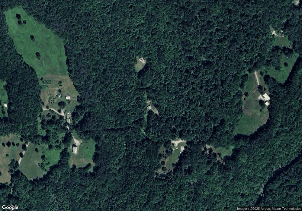
Map
Nearby Homes
- 14 South Rd
- Lot 121 Davis Mine Rd
- 0 Potters Rd Unit 248445
- 0 Potters Rd Unit 73439831
- 168 Main St
- 14 E Harmony Ln
- 3 Flagg Hill Rd
- 0 Warfield Rd
- 23 E Brook Dr
- 2153 Massachusetts 2
- 766 Tea St
- 8 Deer Run Path
- 0 Schaefer Way
- 559 Tea St Unit 9
- 559 Tea St
- 2 Modoc Dr
- 0 W Oxbow Rd Unit 73453651
- 0 W Oxbow Rd Unit 248444
- 63 W Hawley Rd
- 49 East Rd
- 20 Judd Rd
- 58 Judd Rd
- 70 Judd Rd
- 35 Judd Rd
- 76 Judd Rd
- 53 Judd Rd
- 88 Warner Hill Rd
- 0 Warner Hill Rd
- 20 Judd Rd
- 29 Judd Rd
- 48 Warner Hill Rd
- 280 Warner Hill Rd
- 280 Warner Hill Rd
- 0 Warner Hill Road #2 Unit 30171845
- 361 Massachusetts 8a
- 351 Massachusetts 8a
- 8A Jacksonville Stage Rd
- 0 8a Jacksonville Stage Unit 30088901
- 2 Vincent Rd
- 9 Vincent Rd
Your Personal Tour Guide
Ask me questions while you tour the home.