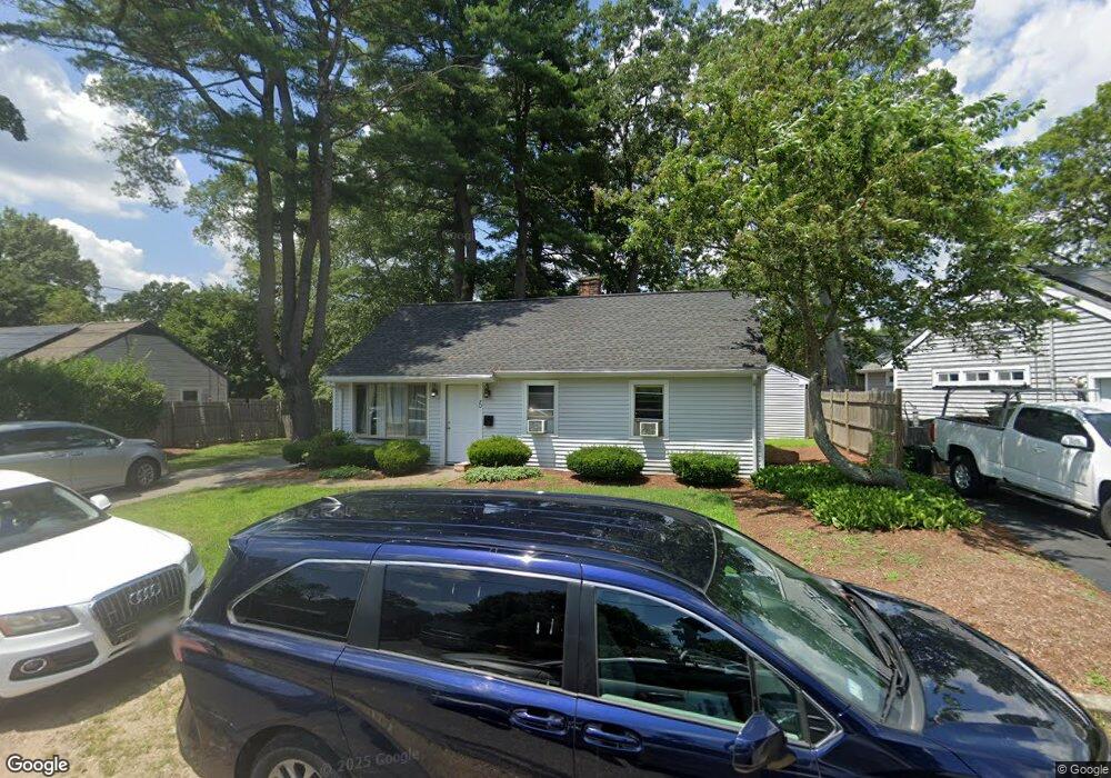
70 Kenmore Rd Unit 1 Stoughton, MA 02072
Estimated Value: $442,112
3
Beds
1
Bath
1,200
Sq Ft
$368/Sq Ft
Est. Value
About This Home
This home is located at 70 Kenmore Rd Unit 1, Stoughton, MA 02072 and is currently estimated at $442,112, approximately $368 per square foot. 70 Kenmore Rd Unit 1 is a home located in Norfolk County with nearby schools including Wilkins Elementary School, Dr. Robert G. O'Donnell Middle School, and Stoughton High School.
Ownership History
Date
Name
Owned For
Owner Type
Purchase Details
Closed on
Oct 4, 2016
Sold by
Romeiro Arlindo and Romeiro Karen F
Bought by
Delta Projects Inc
Current Estimated Value
Home Financials for this Owner
Home Financials are based on the most recent Mortgage that was taken out on this home.
Original Mortgage
$208,000
Outstanding Balance
$165,691
Interest Rate
3.43%
Mortgage Type
New Conventional
Estimated Equity
$276,421
Purchase Details
Closed on
Oct 9, 2007
Sold by
Zelbow Rochelle and Feldman Ronald
Bought by
Romeiro Arlindo F and Romeiro Karen F
Home Financials for this Owner
Home Financials are based on the most recent Mortgage that was taken out on this home.
Original Mortgage
$148,000
Interest Rate
6.59%
Mortgage Type
Purchase Money Mortgage
Create a Home Valuation Report for This Property
The Home Valuation Report is an in-depth analysis detailing your home's value as well as a comparison with similar homes in the area
Home Values in the Area
Average Home Value in this Area
Purchase History
| Date | Buyer | Sale Price | Title Company |
|---|---|---|---|
| Delta Projects Inc | $260,000 | -- | |
| Delta Projects Inc | $260,000 | -- | |
| Delta Projects Inc | $260,000 | -- | |
| Romeiro Arlindo F | $185,000 | -- | |
| Romeiro Arlindo F | $185,000 | -- |
Source: Public Records
Mortgage History
| Date | Status | Borrower | Loan Amount |
|---|---|---|---|
| Open | Delta Projects Inc | $208,000 | |
| Closed | Delta Projects Inc | $208,000 | |
| Previous Owner | Romeiro Arlindo F | $148,000 |
Source: Public Records
Tax History Compared to Growth
Tax History
| Year | Tax Paid | Tax Assessment Tax Assessment Total Assessment is a certain percentage of the fair market value that is determined by local assessors to be the total taxable value of land and additions on the property. | Land | Improvement |
|---|---|---|---|---|
| 2025 | $0 | $336,700 | $201,600 | $135,100 |
| 2024 | $0 | $317,400 | $183,700 | $133,700 |
| 2023 | $0 | $293,600 | $170,700 | $122,900 |
| 2022 | $0 | $262,900 | $156,000 | $106,900 |
| 2021 | $0 | $240,500 | $141,400 | $99,100 |
| 2020 | $0 | $235,600 | $136,500 | $99,100 |
| 2019 | $0 | $227,600 | $136,500 | $91,100 |
| 2018 | $0 | $210,900 | $130,000 | $80,900 |
| 2017 | $2,923 | $201,700 | $123,500 | $78,200 |
| 2016 | $2,759 | $184,300 | $113,800 | $70,500 |
| 2015 | $2,690 | $177,800 | $107,300 | $70,500 |
| 2014 | $2,470 | $156,900 | $97,500 | $59,400 |
Source: Public Records
Map
Nearby Homes
- 229 Stoughton St
- 42 Amherst Rd
- 32 Doty Dr
- 178 Carey Cir
- 102 Ewing Dr
- 0 Washington St Unit 72888098
- 0 Washington St Unit 71897113
- 120 Charles Ave
- 163 Pearl St
- 28 Faxon St Unit 4
- 26 Faxon St Unit 2
- 84 Pearl St
- 11 Monk St
- 30 Porter St
- 316 Pleasant St
- 81 Summer St Unit 1
- 6 Grove St
- 280 Deady Ave
- 514 Park
- 32 Marys Way