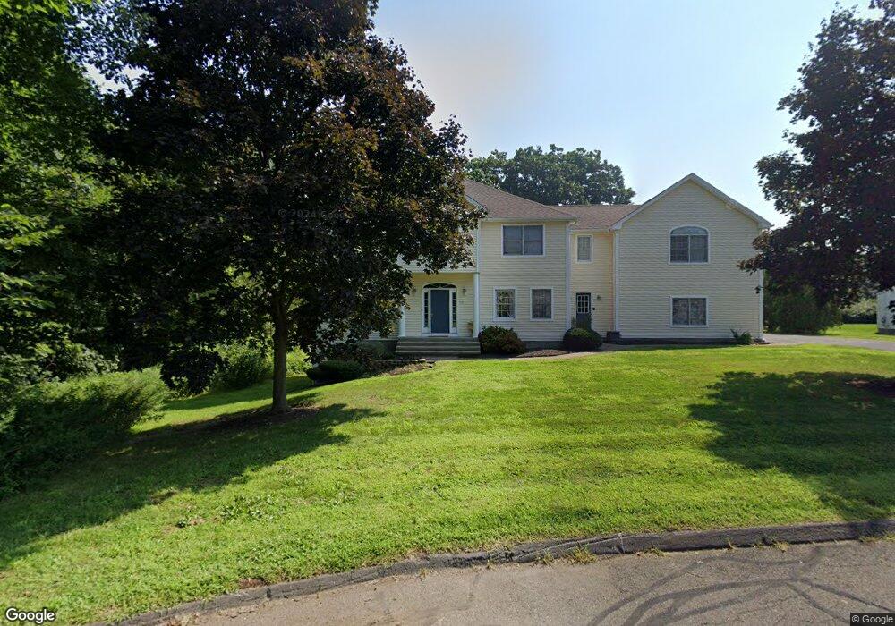
70 Kimberly Ln Wethersfield, CT 06109
Estimated Value: $868,000 - $1,098,000
4
Beds
4
Baths
4,016
Sq Ft
$247/Sq Ft
Est. Value
About This Home
This home is located at 70 Kimberly Ln, Wethersfield, CT 06109 and is currently estimated at $992,727, approximately $247 per square foot. 70 Kimberly Ln is a home located in Hartford County with nearby schools including Highcrest School, Silas Deane Middle School, and Wethersfield High School.
Ownership History
Date
Name
Owned For
Owner Type
Purchase Details
Closed on
Apr 27, 2022
Sold by
Oman T Llc
Bought by
Snow Patrick
Current Estimated Value
Purchase Details
Closed on
Jan 5, 2022
Sold by
Snow Patrick T
Bought by
Oman T Llc
Purchase Details
Closed on
Sep 11, 2014
Sold by
Snow Sharon E
Bought by
Snow Patrick T
Purchase Details
Closed on
May 14, 1997
Sold by
Premier Bldg & Dev Inc
Bought by
Snow Patrick
Create a Home Valuation Report for This Property
The Home Valuation Report is an in-depth analysis detailing your home's value as well as a comparison with similar homes in the area
Home Values in the Area
Average Home Value in this Area
Purchase History
| Date | Buyer | Sale Price | Title Company |
|---|---|---|---|
| Snow Patrick | -- | None Available | |
| Oman T Llc | -- | None Available | |
| Snow Patrick T | -- | -- | |
| Snow Patrick | $313,000 | -- |
Source: Public Records
Mortgage History
| Date | Status | Borrower | Loan Amount |
|---|---|---|---|
| Previous Owner | Snow Patrick | $550,000 | |
| Previous Owner | Snow Patrick | $187,000 |
Source: Public Records
Tax History
| Year | Tax Paid | Tax Assessment Tax Assessment Total Assessment is a certain percentage of the fair market value that is determined by local assessors to be the total taxable value of land and additions on the property. | Land | Improvement |
|---|---|---|---|---|
| 2025 | $21,756 | $527,800 | $136,080 | $391,720 |
| 2024 | $16,333 | $377,910 | $88,970 | $288,940 |
| 2023 | $15,789 | $377,910 | $88,970 | $288,940 |
| 2022 | $15,525 | $377,910 | $88,970 | $288,940 |
| 2021 | $15,370 | $377,910 | $88,970 | $288,940 |
| 2020 | $15,377 | $377,910 | $88,970 | $288,940 |
| 2019 | $15,396 | $377,910 | $88,970 | $288,940 |
| 2018 | $15,655 | $383,900 | $90,000 | $293,900 |
| 2017 | $15,268 | $383,900 | $90,000 | $293,900 |
| 2016 | $14,796 | $383,900 | $90,000 | $293,900 |
| 2015 | $14,661 | $383,900 | $90,000 | $293,900 |
| 2014 | $14,104 | $383,900 | $90,000 | $293,900 |
Source: Public Records
Map
Nearby Homes
- 15 Woodsedge Dr Unit 5C
- 35 Woodsedge Dr Unit 4C
- 229 Cottonwood Rd Unit 229
- 378 Cypress Rd
- 6 Vinnie Dr
- 5 Westmont Rd
- 138 Cypress Rd Unit 138
- 18 Stone Hill Dr
- 8 Stella Dr
- 61 Luca Ln
- 76 Luca Lane Homesite 8
- 417 Churchill Dr Unit 417
- 2 Deming Farm Dr Unit 2
- 144 Churchill Dr
- 2950 Berlin Turnpike
- 312 Carlton Ln Unit 312
- 2990 Berlin Turnpike
- 3 Steeplechase Dr
- 25 Heather Hill
- 62 Harold Dr
Your Personal Tour Guide
Ask me questions while you tour the home.