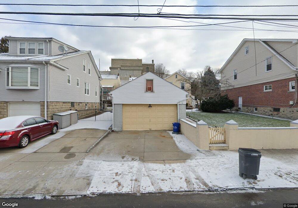
70 King Ave Yonkers, NY 10704
Southeast Yonkers NeighborhoodEstimated Value: $782,608 - $1,051,000
4
Beds
2
Baths
2,962
Sq Ft
$303/Sq Ft
Est. Value
About This Home
This home is located at 70 King Ave, Yonkers, NY 10704 and is currently estimated at $897,402, approximately $302 per square foot. 70 King Ave is a home located in Westchester County with nearby schools including St. Mark's Lutheran School and Stein Yeshiva Of Lincoln Park.
Ownership History
Date
Name
Owned For
Owner Type
Purchase Details
Closed on
Jul 5, 2016
Sold by
Us Bank National Association
Bought by
Connor Andrew O and Valvano Maria
Current Estimated Value
Purchase Details
Closed on
Aug 9, 2012
Sold by
Mussallan Yasser
Bought by
Us Bank Na
Purchase Details
Closed on
Aug 3, 2005
Sold by
Looney Gabriel
Bought by
Mussallan Yasser
Home Financials for this Owner
Home Financials are based on the most recent Mortgage that was taken out on this home.
Original Mortgage
$70,210
Interest Rate
5.66%
Mortgage Type
Credit Line Revolving
Purchase Details
Closed on
Jun 16, 2000
Sold by
Fahey Thomas and Fahey Nora
Bought by
Looney Gabriel
Home Financials for this Owner
Home Financials are based on the most recent Mortgage that was taken out on this home.
Original Mortgage
$200,000
Interest Rate
8.19%
Mortgage Type
Purchase Money Mortgage
Create a Home Valuation Report for This Property
The Home Valuation Report is an in-depth analysis detailing your home's value as well as a comparison with similar homes in the area
Home Values in the Area
Average Home Value in this Area
Purchase History
| Date | Buyer | Sale Price | Title Company |
|---|---|---|---|
| Connor Andrew O | $369,000 | Attorney | |
| Us Bank Na | $515,000 | None Available | |
| Mussallan Yasser | $551,050 | First American Title Ins Co | |
| Looney Gabriel | $250,000 | Lawyers Title Insurance Corp |
Source: Public Records
Mortgage History
| Date | Status | Borrower | Loan Amount |
|---|---|---|---|
| Previous Owner | Mussallan Yasser | $70,210 | |
| Previous Owner | Looney Gabriel | $200,000 |
Source: Public Records
Tax History
| Year | Tax Paid | Tax Assessment Tax Assessment Total Assessment is a certain percentage of the fair market value that is determined by local assessors to be the total taxable value of land and additions on the property. | Land | Improvement |
|---|---|---|---|---|
| 2024 | $1,907 | $10,700 | $3,700 | $7,000 |
| 2023 | $1,922 | $10,700 | $3,700 | $7,000 |
| 2022 | $1,884 | $10,700 | $3,700 | $7,000 |
| 2021 | $9,193 | $10,700 | $3,700 | $7,000 |
| 2020 | $9,194 | $10,700 | $3,700 | $7,000 |
| 2019 | $10,588 | $10,700 | $3,700 | $7,000 |
| 2018 | $8,693 | $10,700 | $3,700 | $7,000 |
| 2017 | -- | $10,700 | $3,700 | $7,000 |
| 2016 | $9,526 | $10,700 | $3,700 | $7,000 |
| 2015 | -- | $10,700 | $3,700 | $7,000 |
| 2014 | -- | $10,700 | $3,700 | $7,000 |
| 2013 | -- | $10,700 | $3,700 | $7,000 |
Source: Public Records
Map
Nearby Homes
- 34 King Ave
- 128 Parkway N
- 32 Alexander Ave
- 39 Mccollum Place
- 32 Glover Ave
- 174 King Ave
- 11 Woodbine St
- 2 Kimball Terrace
- 205 E 238th St Unit 4C
- 205 E 238th St Unit 2C
- 128 Kimball Terrace
- 61 Bronx River Rd Unit 7H
- 85 Bronx River Rd Unit 3S
- 242 E 237th St
- 125 Bronx River Rd Unit 2E
- 125 Bronx River Rd Unit 7A
- 89 Devoe Ave
- 70 Sherman Ave Unit 2K
- 70 Sherman Ave Unit 3H
- 4320 van Cortlandt Park E Unit 6E
Your Personal Tour Guide
Ask me questions while you tour the home.