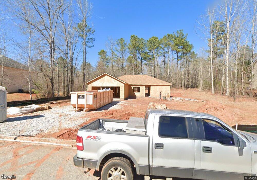
70 Lumby Ln Unit 96 Covington, GA 30016
Estimated Value: $252,000 - $280,560
--
Bed
--
Bath
1,610
Sq Ft
$168/Sq Ft
Est. Value
About This Home
This home is located at 70 Lumby Ln Unit 96, Covington, GA 30016 and is currently estimated at $270,390, approximately $167 per square foot. 70 Lumby Ln Unit 96 is a home located in Newton County with nearby schools including Livingston Elementary School, Indian Creek Middle School, and Alcovy High School.
Ownership History
Date
Name
Owned For
Owner Type
Purchase Details
Closed on
Jan 29, 2021
Sold by
The Atkinson Trust Llc
Bought by
Michael Laurie
Current Estimated Value
Purchase Details
Closed on
Dec 21, 2010
Sold by
Mf Georgia Ii Llc
Bought by
Atkinson Trust Llc
Purchase Details
Closed on
Jun 25, 2010
Sold by
Synovus Bk
Bought by
Mf Georgia Ii Llc
Purchase Details
Closed on
Sep 2, 2008
Sold by
Anderson Homebuilders Inc
Bought by
Bank Of North Georgia
Purchase Details
Closed on
Sep 8, 2006
Sold by
Country Rds Dev Llc
Bought by
Anderson Hmbldrs Inc
Home Financials for this Owner
Home Financials are based on the most recent Mortgage that was taken out on this home.
Original Mortgage
$116,250
Interest Rate
6.58%
Mortgage Type
New Conventional
Create a Home Valuation Report for This Property
The Home Valuation Report is an in-depth analysis detailing your home's value as well as a comparison with similar homes in the area
Home Values in the Area
Average Home Value in this Area
Purchase History
| Date | Buyer | Sale Price | Title Company |
|---|---|---|---|
| Michael Laurie | $19,500 | -- | |
| Atkinson Trust Llc | $5,000 | -- | |
| Mf Georgia Ii Llc | $5,700 | -- | |
| Bank Of North Georgia | $24,500 | -- | |
| Anderson Hmbldrs Inc | $41,500 | -- |
Source: Public Records
Mortgage History
| Date | Status | Borrower | Loan Amount |
|---|---|---|---|
| Previous Owner | Anderson Hmbldrs Inc | $116,250 |
Source: Public Records
Tax History Compared to Growth
Tax History
| Year | Tax Paid | Tax Assessment Tax Assessment Total Assessment is a certain percentage of the fair market value that is determined by local assessors to be the total taxable value of land and additions on the property. | Land | Improvement |
|---|---|---|---|---|
| 2024 | $2,558 | $98,400 | $18,800 | $79,600 |
| 2023 | $2,460 | $88,240 | $10,000 | $78,240 |
| 2022 | $277 | $7,800 | $7,800 | $0 |
| 2021 | $369 | $10,000 | $10,000 | $0 |
| 2020 | $161 | $4,800 | $4,800 | $0 |
| 2019 | $164 | $4,800 | $4,800 | $0 |
| 2018 | $82 | $4,800 | $4,800 | $0 |
| 2017 | $165 | $4,800 | $4,800 | $0 |
| 2016 | $165 | $4,800 | $4,800 | $0 |
| 2015 | $155 | $2,680 | $2,680 | $0 |
| 2014 | $118 | $4,800 | $0 | $0 |
Source: Public Records
Map
Nearby Homes
- 135 Lumby Ln
- 165 Wildcat Creek Dr
- 1752 Highway 162
- 35 Heyman Dr Unit 85
- 105 Heyman Dr Unit 79
- 225 Long Creek Dr
- 25 Shady Oaks Trail
- 70 Mountainside Ln
- 115 Mountainview Dr
- 0 Chestnut Rd Unit 10616695
- 25 Castlehill Ct
- 125 Shelby Oaks Trail
- 66 Ellis Trail
- 30 Laurel Way
- 105 Highgrove Dr
- 240 Huntington St
- 160 Cross Rd
- 0 Highway 81 S Unit 7670352
- 35 Green Hill Ct
- 0 Tempie Ln