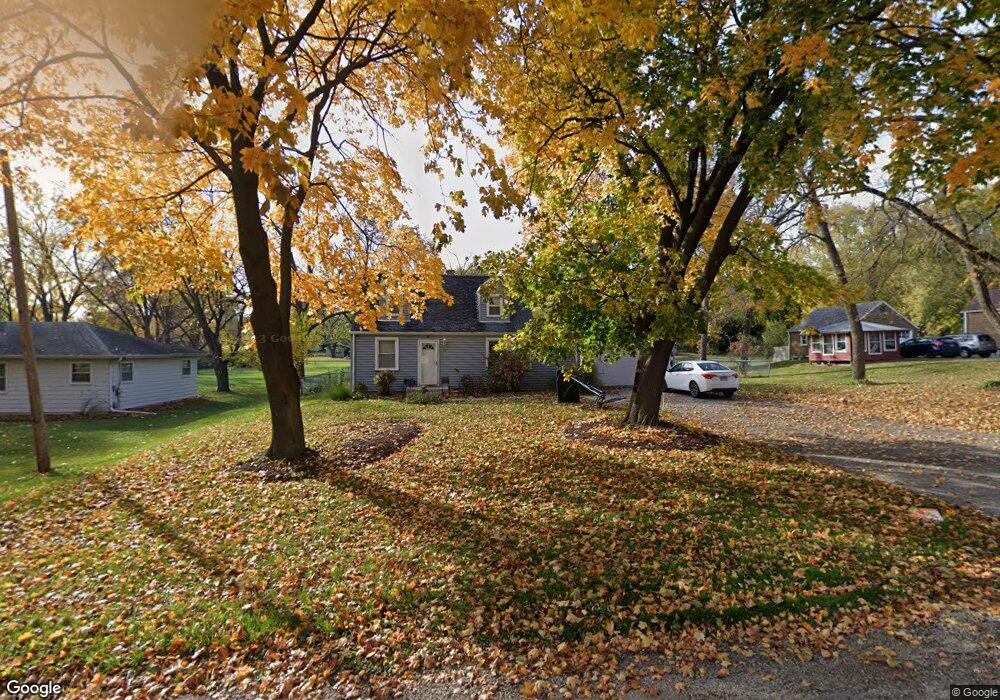
70 Maple St Elgin, IL 60123
North Country Knolls NeighborhoodEstimated Value: $283,173 - $338,000
3
Beds
1
Bath
1,175
Sq Ft
$256/Sq Ft
Est. Value
About This Home
This home is located at 70 Maple St, Elgin, IL 60123 and is currently estimated at $300,543, approximately $255 per square foot. 70 Maple St is a home located in Kane County with nearby schools including Hillcrest Elementary School, Abbott Middle School, and Larkin High School.
Ownership History
Date
Name
Owned For
Owner Type
Purchase Details
Closed on
May 16, 2017
Sold by
Holbrook Josh and Holbrook Adam
Bought by
Salgado Eduardo and Ratana Popnphan
Current Estimated Value
Home Financials for this Owner
Home Financials are based on the most recent Mortgage that was taken out on this home.
Original Mortgage
$183,658
Outstanding Balance
$152,314
Interest Rate
4%
Mortgage Type
FHA
Estimated Equity
$148,229
Purchase Details
Closed on
May 13, 2005
Sold by
Holbrook Robert
Bought by
Holbrook John
Create a Home Valuation Report for This Property
The Home Valuation Report is an in-depth analysis detailing your home's value as well as a comparison with similar homes in the area
Home Values in the Area
Average Home Value in this Area
Purchase History
| Date | Buyer | Sale Price | Title Company |
|---|---|---|---|
| Salgado Eduardo | $190,000 | Chicago Title Insurance Co | |
| Holbrook John | -- | -- |
Source: Public Records
Mortgage History
| Date | Status | Borrower | Loan Amount |
|---|---|---|---|
| Open | Salgado Eduardo | $183,658 |
Source: Public Records
Tax History
| Year | Tax Paid | Tax Assessment Tax Assessment Total Assessment is a certain percentage of the fair market value that is determined by local assessors to be the total taxable value of land and additions on the property. | Land | Improvement |
|---|---|---|---|---|
| 2024 | $5,547 | $77,502 | $23,061 | $54,441 |
| 2023 | $5,272 | $70,017 | $20,834 | $49,183 |
| 2022 | $5,001 | $63,843 | $18,997 | $44,846 |
| 2021 | $4,776 | $59,689 | $17,761 | $41,928 |
| 2020 | $4,636 | $56,983 | $16,956 | $40,027 |
| 2019 | $4,496 | $54,280 | $16,152 | $38,128 |
| 2018 | $4,449 | $51,135 | $15,216 | $35,919 |
| 2017 | $4,342 | $48,341 | $14,385 | $33,956 |
| 2016 | $4,131 | $44,847 | $13,345 | $31,502 |
| 2015 | -- | $36,293 | $12,232 | $24,061 |
| 2014 | -- | $40,599 | $12,081 | $28,518 |
| 2013 | -- | $41,670 | $12,400 | $29,270 |
Source: Public Records
Map
Nearby Homes
- 1849 Larkin Ave
- 215 Second St
- 10N836 Maple St
- 92 N Airlite St
- 10N827 Hawthorne St
- 136 Mckinstry Dr
- 304 Nautical Way Unit D
- 70 S Weston Ave
- 262 S Weston Ave
- 40 Acres Randall Rd
- 1840 W Highland Ave Unit E-105
- 2022 Torino Dr
- 356 N Airlite St Unit 356
- 221 Heine Ave
- 161 S Aldine Ave
- 512 Shenandoah Trail
- 78 S Edison Ave
- 500 S Randall Rd
- 550 Madison Ln
- 527 N Lyle Ave
Your Personal Tour Guide
Ask me questions while you tour the home.