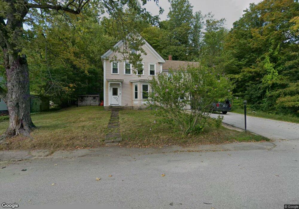
70 Maple St Wilton, NH 03086
Estimated Value: $348,000 - $592,000
4
Beds
2
Baths
2,298
Sq Ft
$197/Sq Ft
Est. Value
About This Home
This home is located at 70 Maple St, Wilton, NH 03086 and is currently estimated at $453,426, approximately $197 per square foot. 70 Maple St is a home located in Hillsborough County with nearby schools including Florence Rideout Elementary School, Wilton-Lyndeborough Cooperative Middle School, and Wilton-Lyndeborough Cooperative High School.
Ownership History
Date
Name
Owned For
Owner Type
Purchase Details
Closed on
Oct 28, 2013
Sold by
Pollock David R
Bought by
Chamberlain Barry H
Current Estimated Value
Create a Home Valuation Report for This Property
The Home Valuation Report is an in-depth analysis detailing your home's value as well as a comparison with similar homes in the area
Home Values in the Area
Average Home Value in this Area
Purchase History
| Date | Buyer | Sale Price | Title Company |
|---|---|---|---|
| Chamberlain Barry H | $155,000 | -- | |
| Chamberlain Barry H | $155,000 | -- |
Source: Public Records
Mortgage History
| Date | Status | Borrower | Loan Amount |
|---|---|---|---|
| Previous Owner | Chamberlain Barry H | $110,000 | |
| Closed | Chamberlain Barry H | $0 |
Source: Public Records
Tax History
| Year | Tax Paid | Tax Assessment Tax Assessment Total Assessment is a certain percentage of the fair market value that is determined by local assessors to be the total taxable value of land and additions on the property. | Land | Improvement |
|---|---|---|---|---|
| 2025 | $8,221 | $304,700 | $96,200 | $208,500 |
| 2024 | $7,543 | $303,300 | $96,200 | $207,100 |
| 2023 | $6,733 | $303,300 | $96,200 | $207,100 |
| 2022 | $6,266 | $303,300 | $96,200 | $207,100 |
| 2021 | $5,829 | $303,300 | $96,200 | $207,100 |
| 2020 | $5,120 | $174,200 | $71,000 | $103,200 |
| 2019 | $5,059 | $174,200 | $71,000 | $103,200 |
| 2018 | $5,047 | $175,500 | $71,000 | $104,500 |
| 2017 | $4,768 | $175,500 | $71,000 | $104,500 |
| 2016 | $4,549 | $172,700 | $71,000 | $101,700 |
| 2015 | $4,343 | $164,900 | $71,800 | $93,100 |
| 2014 | $4,254 | $164,900 | $71,800 | $93,100 |
| 2013 | $4,288 | $164,800 | $71,800 | $93,000 |
Source: Public Records
Map
Nearby Homes
- 10 Whiting Hill Rd
- 25 Burns Hill Rd
- 23 Falcon Ridge Rd Unit 23
- 24 Falcon Ridge Rd Unit 24
- 33 Falcon Ridge Rd Unit 33
- 124 Abbot Hill Rd
- F-88-7 Aria Hill Dr
- F-88-11 Aria Hill Dr
- F-88-12 Aria Hill Dr
- 85 Intervale Rd
- 16 Cortland Rd
- F88-9 McGettigan Rd
- F/88-5 McGettigan Rd
- F/88-4 McGettigan Rd
- 545 Elm St Unit 4
- 589 Gibbons Hwy
- F88-10 McGettigan Rd
- Lots 4 & 7 Gibbons & Robbins Rd
- 17 Ches Mae Ln
- 30 Dow Rd
Your Personal Tour Guide
Ask me questions while you tour the home.