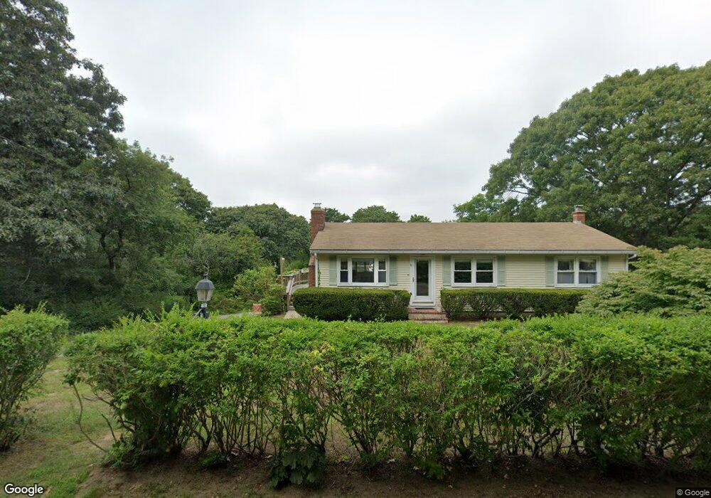
70 Mcguerty Rd Eastham, MA 02642
Estimated Value: $865,000 - $952,000
2
Beds
3
Baths
1,830
Sq Ft
$496/Sq Ft
Est. Value
About This Home
This home is located at 70 Mcguerty Rd, Eastham, MA 02642 and is currently estimated at $906,858, approximately $495 per square foot. 70 Mcguerty Rd is a home located in Barnstable County with nearby schools including Eastham Elementary School, Nauset Regional Middle School, and Nauset Regional High School.
Ownership History
Date
Name
Owned For
Owner Type
Purchase Details
Closed on
May 15, 2025
Sold by
Keane Ida L
Bought by
Kenne Ft and Keane
Current Estimated Value
Purchase Details
Closed on
Sep 29, 2022
Sold by
Laporte Roslyn L
Bought by
Roslyn L Laporte 2022 Ret
Purchase Details
Closed on
Jun 5, 2018
Sold by
Laporte Roslyn L and Laporte Richard G
Bought by
Laporte Roslyn L
Purchase Details
Closed on
Feb 16, 1977
Bought by
Laporte Roslyn and Laporte Richard
Create a Home Valuation Report for This Property
The Home Valuation Report is an in-depth analysis detailing your home's value as well as a comparison with similar homes in the area
Home Values in the Area
Average Home Value in this Area
Purchase History
| Date | Buyer | Sale Price | Title Company |
|---|---|---|---|
| Kenne Ft | -- | None Available | |
| Kenne Ft | -- | None Available | |
| Keane Ida L | -- | None Available | |
| Keane Ida L | -- | None Available | |
| Roslyn L Laporte 2022 Ret | -- | None Available | |
| Roslyn L Laporte 2022 Ret | -- | None Available | |
| Laporte Roslyn L | -- | -- | |
| Laporte Roslyn L | -- | -- | |
| Laporte Roslyn | -- | -- |
Source: Public Records
Tax History Compared to Growth
Tax History
| Year | Tax Paid | Tax Assessment Tax Assessment Total Assessment is a certain percentage of the fair market value that is determined by local assessors to be the total taxable value of land and additions on the property. | Land | Improvement |
|---|---|---|---|---|
| 2025 | $5,850 | $758,700 | $398,900 | $359,800 |
| 2024 | $4,970 | $709,000 | $387,200 | $321,800 |
| 2023 | $4,453 | $615,000 | $334,700 | $280,300 |
| 2022 | $4,302 | $501,400 | $298,800 | $202,600 |
| 2021 | $4,209 | $458,500 | $271,600 | $186,900 |
| 2020 | $3,964 | $454,600 | $277,200 | $177,400 |
| 2019 | $3,661 | $443,800 | $269,100 | $174,700 |
| 2018 | $3,619 | $433,400 | $261,300 | $172,100 |
| 2017 | $3,375 | $427,200 | $256,200 | $171,000 |
| 2016 | $2,570 | $345,400 | $183,000 | $162,400 |
| 2015 | $2,393 | $337,100 | $179,400 | $157,700 |
Source: Public Records
Map
Nearby Homes
- 60 Mcguerty Rd
- 80 Mcguerty Rd
- 65 Mcguerty Rd
- 75 Mcguerty Rd
- 170 Old Farm Ln
- 50 Mcguerty Rd
- 85 Mcguerty Rd
- 90 Mcguerty Rd
- 40 Mcguerty Rd
- 20 Dundee Rd
- 10 Dundee Rd
- 15 Huckleberry Ln
- 80 Corman Rd
- 30 Dundee Rd
- 80 Gorman Rd
- 95 Rolling Ln
- 35 Huckleberry Ln
- 25 Huckleberry Ln
- 100 Mcguerty Rd
- 5 Huckleberry Ln