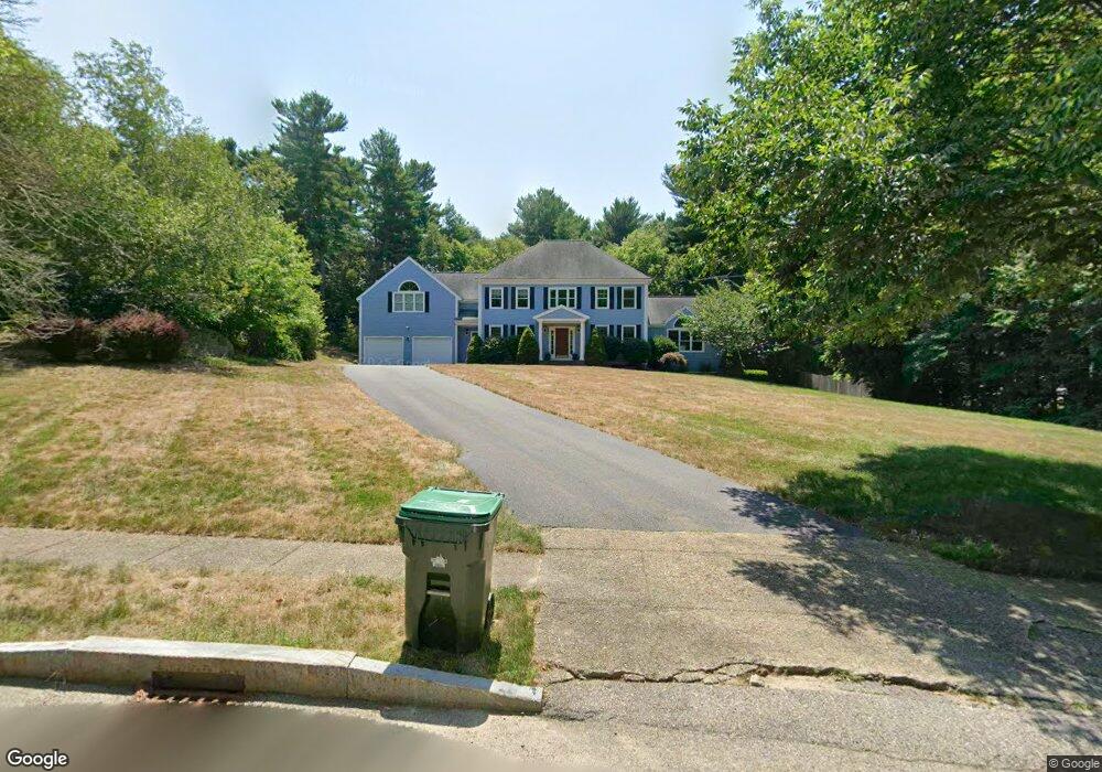
70 Metacomet Way Marshfield, MA 02050
Estimated Value: $1,272,159 - $1,630,000
4
Beds
3
Baths
3,645
Sq Ft
$385/Sq Ft
Est. Value
About This Home
This home is located at 70 Metacomet Way, Marshfield, MA 02050 and is currently estimated at $1,401,790, approximately $384 per square foot. 70 Metacomet Way is a home located in Plymouth County with nearby schools including Martinson Elementary School, Furnace Brook Middle School, and Marshfield High School.
Ownership History
Date
Name
Owned For
Owner Type
Purchase Details
Closed on
Dec 20, 1999
Sold by
P&S Rt and Baytarian Peter J
Bought by
Safe Thorn Ks and Boeringer-Safe Linda
Current Estimated Value
Home Financials for this Owner
Home Financials are based on the most recent Mortgage that was taken out on this home.
Original Mortgage
$330,000
Outstanding Balance
$102,916
Interest Rate
7.81%
Mortgage Type
Purchase Money Mortgage
Estimated Equity
$1,298,874
Create a Home Valuation Report for This Property
The Home Valuation Report is an in-depth analysis detailing your home's value as well as a comparison with similar homes in the area
Home Values in the Area
Average Home Value in this Area
Purchase History
| Date | Buyer | Sale Price | Title Company |
|---|---|---|---|
| Safe Thorn Ks | $526,158 | -- |
Source: Public Records
Mortgage History
| Date | Status | Borrower | Loan Amount |
|---|---|---|---|
| Open | Safe Thorn Ks | $170,000 | |
| Open | Safe Thorn Ks | $330,000 | |
| Previous Owner | Safe Thorn Ks | $52,615 |
Source: Public Records
Tax History Compared to Growth
Tax History
| Year | Tax Paid | Tax Assessment Tax Assessment Total Assessment is a certain percentage of the fair market value that is determined by local assessors to be the total taxable value of land and additions on the property. | Land | Improvement |
|---|---|---|---|---|
| 2025 | $11,609 | $1,172,600 | $370,600 | $802,000 |
| 2024 | $11,258 | $1,083,500 | $348,800 | $734,700 |
| 2023 | $10,602 | $955,400 | $313,900 | $641,500 |
| 2022 | $10,602 | $818,700 | $261,600 | $557,100 |
| 2021 | $10,046 | $761,600 | $261,600 | $500,000 |
| 2020 | $9,962 | $747,300 | $261,600 | $485,700 |
| 2019 | $9,616 | $718,700 | $261,600 | $457,100 |
| 2018 | $9,481 | $709,100 | $261,600 | $447,500 |
| 2017 | $9,342 | $680,900 | $261,600 | $419,300 |
| 2016 | $8,687 | $625,900 | $250,700 | $375,200 |
| 2015 | $8,196 | $616,700 | $250,700 | $366,000 |
| 2014 | $8,306 | $625,000 | $250,700 | $374,300 |
Source: Public Records
Map
Nearby Homes
- 91 Metacomet Way
- 1 Valley Path
- 56 Wiltshire Ln
- 3 Cottage Ln
- 480 Pleasant St
- 1155 Main St
- 28 Riverside Cir
- 10 Penstock Ln
- 32 Carolyn Cir
- 64 Carolyn Cir
- 21 Chowdermarch St
- 55 Macombers Way
- 76 Macombers Way
- 908 Main St
- 287 Summer St
- 10 Shrine Rd
- 26 Damons Point Cir
- 21 Union St
- 260 River St
- 250 River St
- 62 Metacomet Way
- 80 Metacomet Way
- 45 Fox Hill Cir
- 50 Metacomet Way
- 90 Metacomet Way
- 39 Fox Hill Cir
- 61 Metacomet Way
- 31 Fox Hill Cir
- 96 Metacomet Way
- 46 Metacomet Way
- 47 Metacomet Way
- 15 Fox Hill Cir
- 48 Fox Hill Cir
- 26 Metacomet Way
- 120 Metacomet Way
- 9 Fox Hill Cir
- 26 Fox Hill Cir
- 29 Metacomet Way
- 134 Fox Hill Cir
- 8 Fox Hill Cir