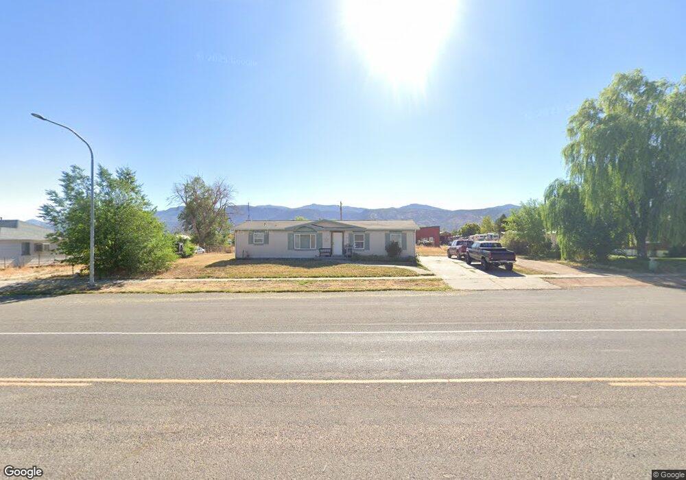
70 N Main St Kanosh, UT 84637
Estimated Value: $234,342 - $576,000
Studio
--
Bath
--
Sq Ft
0.32
Acre Lot
About This Home
This home is located at 70 N Main St, Kanosh, UT 84637 and is currently estimated at $342,836. 70 N Main St is a home.
Ownership History
We collect this data history from publicly available records. To have your information removed, we recommend requesting removal directly through your county’s website.
Date
Name
Owned For
Owner Type
Purchase Details
Closed on
Jul 17, 2020
Sold by
Bought by
Current Estimated Value
Purchase Details
Closed on
May 6, 2020
Sold by
Bought by
Purchase Details
Closed on
Apr 21, 2020
Sold by
Bought by
Create a Home Valuation Report for This Property
The Home Valuation Report is an in-depth analysis detailing your home's value as well as a comparison with similar homes in the area
Purchase History
We collect this data history from publicly available records. To have your information removed, we recommend requesting removal directly through your county’s website.
| Date | Buyer | Sale Price | Title Company |
|---|---|---|---|
| -- | None Available | ||
| -- | None Available | ||
| -- | None Available | ||
| -- | None Available |
Source: Public Records
Tax History
We collect this data history from publicly available records. To have your information removed, we recommend requesting removal directly through your county’s website.
| Year | Tax Paid | Tax Assessment Tax Assessment Total Assessment is a certain percentage of the fair market value that is determined by local assessors to be the total taxable value of land and additions on the property. | Land | Improvement |
|---|---|---|---|---|
| 2025 | $1,016 | $133,116 | $27,225 | $105,891 |
| 2024 | $1,016 | $101,675 | $15,642 | $86,033 |
| 2023 | $1,004 | $101,675 | $15,642 | $86,033 |
| 2022 | $758 | $71,247 | $12,514 | $58,733 |
| 2021 | $656 | $59,453 | $9,892 | $49,561 |
| 2020 | $585 | $53,514 | $10,392 | $43,122 |
| 2019 | $528 | $48,599 | $9,575 | $39,024 |
| 2018 | $507 | $47,774 | $8,750 | $39,024 |
| 2017 | $530 | $47,774 | $8,750 | $39,024 |
| 2016 | $5 | $44,877 | $6,688 | $38,189 |
| 2015 | $5 | $44,877 | $6,188 | $38,689 |
| 2014 | -- | $44,877 | $6,188 | $38,689 |
| 2013 | -- | $44,877 | $6,188 | $38,689 |
Source: Public Records
Map
Nearby Homes
- 135 E 200 N
- 110 S 100 West Rd
- 195 E 200 South St
- 115 W 200 S
- 73 E 700 S
- 0 County Road 4616
- 453 N 100 W
- 4909 W 6150 S
- 11 S 200 E
- 479 E 100 N
- 0 W 5800 S Street St Unit 116760
- 1565 W Sunflower Ln Unit 3
- 1615 W Sunflower Ln
- 1615 W Sunflower Ln Unit 4
- 1565 W Sunflower Ln
- 0 Tbd Black Rock Rd Unit LotWP001
- Tbd
- 1100 S 725 Rd W
- 310 S 500 West Rd
- 415 S 200 W
Your Personal Tour Guide
Ask me questions while you tour the home.