70 Old Nugent Farm Rd Gloucester, MA 01930
East Gloucester NeighborhoodEstimated Value: $941,000 - $1,172,000
3
Beds
3
Baths
2,970
Sq Ft
$352/Sq Ft
Est. Value
About This Home
This home is located at 70 Old Nugent Farm Rd, Gloucester, MA 01930 and is currently estimated at $1,045,942, approximately $352 per square foot. 70 Old Nugent Farm Rd is a home located in Essex County with nearby schools including East Gloucester Elementary School, Ralph B O'maley Middle School, and Gloucester High School.
Ownership History
Date
Name
Owned For
Owner Type
Purchase Details
Closed on
Jun 25, 1996
Sold by
Smith Thomas E and Smith Nancy C
Bought by
Hansen Margery L
Current Estimated Value
Home Financials for this Owner
Home Financials are based on the most recent Mortgage that was taken out on this home.
Original Mortgage
$154,500
Interest Rate
8.21%
Mortgage Type
Purchase Money Mortgage
Create a Home Valuation Report for This Property
The Home Valuation Report is an in-depth analysis detailing your home's value as well as a comparison with similar homes in the area
Home Values in the Area
Average Home Value in this Area
Purchase History
| Date | Buyer | Sale Price | Title Company |
|---|---|---|---|
| Hansen Margery L | $254,500 | -- |
Source: Public Records
Mortgage History
| Date | Status | Borrower | Loan Amount |
|---|---|---|---|
| Open | Hansen Margery L | $100,000 | |
| Closed | Hansen Margery L | $83,000 | |
| Closed | Hansen Margery L | $150,000 | |
| Closed | Hansen Margery L | $154,500 |
Source: Public Records
Tax History Compared to Growth
Tax History
| Year | Tax Paid | Tax Assessment Tax Assessment Total Assessment is a certain percentage of the fair market value that is determined by local assessors to be the total taxable value of land and additions on the property. | Land | Improvement |
|---|---|---|---|---|
| 2025 | $8,284 | $852,300 | $0 | $852,300 |
| 2024 | $8,487 | $872,200 | $0 | $872,200 |
| 2023 | $8,148 | $769,400 | $0 | $769,400 |
| 2022 | $8,182 | $697,500 | $0 | $697,500 |
| 2021 | $8,166 | $656,400 | $0 | $656,400 |
| 2020 | $8,188 | $664,100 | $0 | $664,100 |
| 2019 | $7,812 | $615,600 | $0 | $615,600 |
| 2018 | $7,815 | $604,400 | $0 | $604,400 |
| 2017 | $7,793 | $590,800 | $0 | $590,800 |
| 2016 | $7,408 | $544,300 | $0 | $544,300 |
| 2015 | $7,506 | $549,900 | $0 | $549,900 |
Source: Public Records
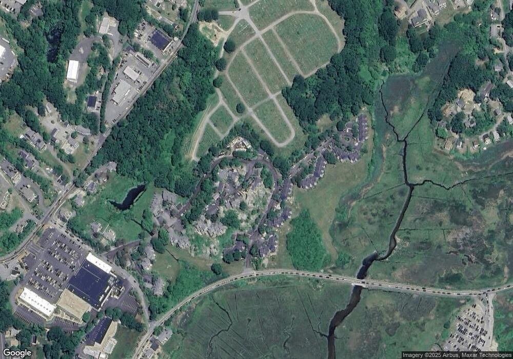
Map
Nearby Homes
- 26 Marina Dr
- 29 Harrison Ave
- 10 Amero Ct
- 20 Haskell St
- 9 Rocky Pasture Rd
- 86 E Main St
- 97 E Main St
- 100 E Main St
- 20 Calder St
- 22 Taylor St Unit 1
- 30 Chapel St Unit B
- 160 Prospect St Unit 3
- 33 Highview Rd
- 4 Mount Vernon St
- 197 E Main St
- 197 E Main St Unit 1
- 197 E Main St Unit 2
- 197 E Main St Unit 1 & 2
- 36 Links Rd
- 40 Sargent St
- 72 Old Nugent Farm Rd
- 71 Old Nugent Farm Rd
- 69 Old Nugent Farm Rd
- 68 Old Nugent Farm Rd
- 67 Old Nugent Farm Rd
- 65 Old Nugent Farm Rd
- 64 Old Nugent Farm Rd
- 65 Old Nugent Farm Rd Unit 65
- 64 Old Nugent Farm Rd Unit 64
- 62 Old Nugent Farm Rd
- 61 Old Nugent Farm Rd
- 60 Old Nugent Farm Rd
- 59 Old Nugent Farm Rd
- 58 Old Nugent Farm Rd
- 56 Old Nugent Farm Rd
- 24 Beachcroft Rd
- 26 Beachcroft Rd
- 22 Beachcroft Rd
- 283030R Beachcroft Rd
- 17 Beachcroft Rd Unit A