70 Ossipee Trail Gorham, ME 04038
Estimated Value: $446,000 - $552,313
3
Beds
2
Baths
1,165
Sq Ft
$431/Sq Ft
Est. Value
About This Home
This home is located at 70 Ossipee Trail, Gorham, ME 04038 and is currently estimated at $501,828, approximately $430 per square foot. 70 Ossipee Trail is a home located in Cumberland County with nearby schools including Village Elementary School, Gorham Middle School, and Gorham High School.
Create a Home Valuation Report for This Property
The Home Valuation Report is an in-depth analysis detailing your home's value as well as a comparison with similar homes in the area
Home Values in the Area
Average Home Value in this Area
Tax History
| Year | Tax Paid | Tax Assessment Tax Assessment Total Assessment is a certain percentage of the fair market value that is determined by local assessors to be the total taxable value of land and additions on the property. | Land | Improvement |
|---|---|---|---|---|
| 2025 | $6,629 | $447,900 | $118,200 | $329,700 |
| 2024 | $6,584 | $447,900 | $118,200 | $329,700 |
| 2023 | $6,159 | $447,900 | $118,200 | $329,700 |
| 2022 | $5,756 | $447,900 | $118,200 | $329,700 |
| 2021 | $4,258 | $219,500 | $59,000 | $160,500 |
| 2020 | $4,171 | $219,500 | $59,000 | $160,500 |
| 2019 | $4,160 | $219,500 | $59,000 | $160,500 |
| 2018 | $3,995 | $219,500 | $59,000 | $160,500 |
| 2017 | $3,753 | $219,500 | $59,000 | $160,500 |
| 2016 | $3,730 | $219,400 | $58,900 | $160,500 |
| 2015 | $3,576 | $219,400 | $58,900 | $160,500 |
| 2014 | $3,621 | $208,100 | $59,200 | $148,900 |
| 2013 | $3,600 | $208,100 | $59,200 | $148,900 |
Source: Public Records
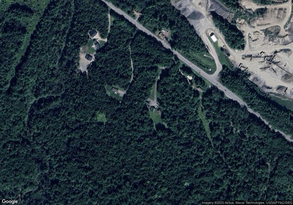
Map
Nearby Homes
- 35 Rust Rd
- 15 Green St
- 127 Falcon Crest Dr Unit 4
- 52 Morrill Ave
- 12 Strouts Way
- 91 South St
- 182 Falcon Crest Dr Unit 56
- 187 Falcon Crest Dr Unit 30
- 189 Falcon Crest Dr Unit 31
- 17 Boreal Dr
- 30 Boreal Dr
- 16 Laurel Pines Dr
- 191 Falcon Crest Dr Unit 32
- 193 Falcon Crest Dr Unit 33
- 192 Falcon Crest Dr Unit 59
- 195 Falcon Crest Dr Unit 34
- 194 Falcon Crest Dr Unit 60
- 49 Lochwood Dr
- 4 Musket Dr
- 13 Lochwood Dr
Your Personal Tour Guide
Ask me questions while you tour the home.