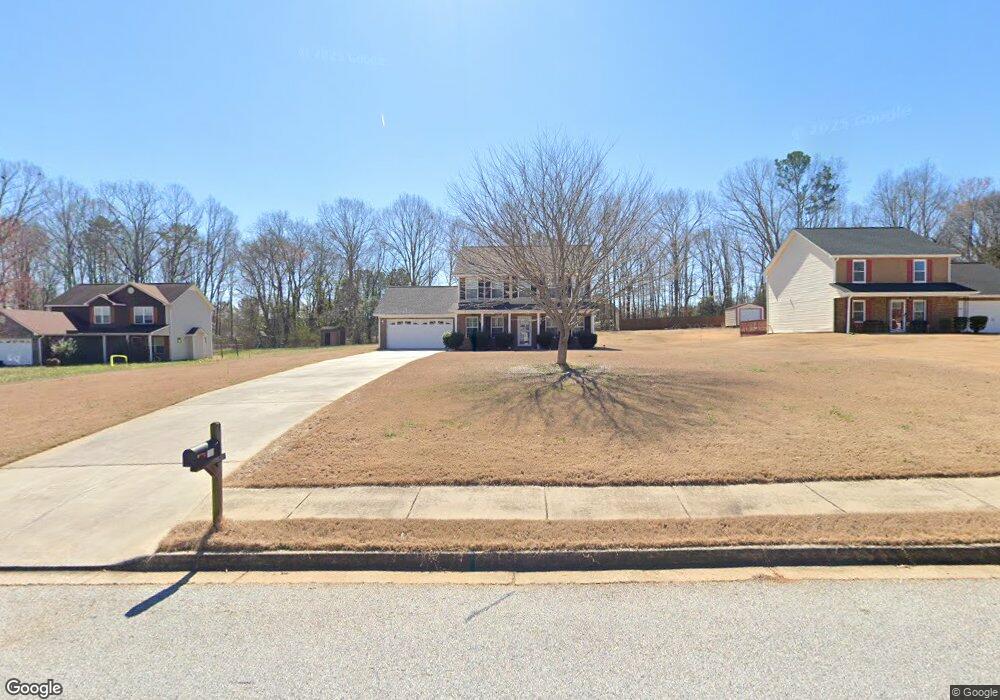
70 Patterson Way Covington, GA 30016
Estimated Value: $237,000 - $280,000
Studio
2
Baths
1,608
Sq Ft
$160/Sq Ft
Est. Value
About This Home
This home is located at 70 Patterson Way, Covington, GA 30016 and is currently estimated at $257,829, approximately $160 per square foot. 70 Patterson Way is a home located in Newton County with nearby schools including Oak Hill Elementary School, Veterans Memorial Middle School, and Alcovy High School.
Ownership History
Date
Name
Owned For
Owner Type
Purchase Details
Closed on
Feb 21, 2022
Sold by
Allen Michael M
Bought by
M M Allen Jr Liv Tr
Current Estimated Value
Purchase Details
Closed on
Dec 8, 2006
Sold by
R & B Const Inc
Bought by
Allen Michael M
Home Financials for this Owner
Home Financials are based on the most recent Mortgage that was taken out on this home.
Original Mortgage
$132,999
Interest Rate
6.75%
Mortgage Type
New Conventional
Create a Home Valuation Report for This Property
The Home Valuation Report is an in-depth analysis detailing your home's value as well as a comparison with similar homes in the area
Home Values in the Area
Average Home Value in this Area
Purchase History
| Date | Buyer | Sale Price | Title Company |
|---|---|---|---|
| M M Allen Jr Liv Tr | -- | -- | |
| Allen Michael M | $140,000 | -- |
Source: Public Records
Mortgage History
| Date | Status | Borrower | Loan Amount |
|---|---|---|---|
| Previous Owner | Allen Michael M | $132,999 |
Source: Public Records
Tax History
| Year | Tax Paid | Tax Assessment Tax Assessment Total Assessment is a certain percentage of the fair market value that is determined by local assessors to be the total taxable value of land and additions on the property. | Land | Improvement |
|---|---|---|---|---|
| 2025 | $60 | $103,760 | $16,400 | $87,360 |
| 2024 | $60 | $97,440 | $16,400 | $81,040 |
| 2023 | $60 | $94,960 | $12,000 | $82,960 |
| 2022 | $60 | $80,000 | $9,600 | $70,400 |
| 2021 | $60 | $64,600 | $9,600 | $55,000 |
| 2020 | $58 | $56,880 | $8,400 | $48,480 |
| 2019 | $58 | $53,760 | $8,400 | $45,360 |
| 2018 | $29 | $49,680 | $6,800 | $42,880 |
| 2017 | $1,461 | $44,760 | $6,800 | $37,960 |
| 2016 | $1,301 | $40,080 | $6,200 | $33,880 |
| 2015 | $1,362 | $42,320 | $3,800 | $38,520 |
| 2014 | $1,095 | $34,600 | $0 | $0 |
Source: Public Records
Map
Nearby Homes
- 345 Arthurs Ln
- 10 Wilbur Way
- 980 Covered Bridge Rd
- 127 Covered Bridge Rd
- 119 Covered Bridge Rd
- 230 Laurel Way
- 931 Bethany Rd
- 270 Wellbrook Dr
- 455 Bethany Rd
- 0 Richards Chapel Rd Unit CL351012
- 0 Richards Chapel Rd Unit 10707746
- 5618 Highway 212
- 444 Covered Bridge Rd
- 335 Glen Echo Dr
- 15 Granville Ln
- 20 Crooked Creek Way
- 161 Covered Bridge Rd
- 143 Covered Bridge Rd
- 40 Hunters Crossing
- 66 Ellis Trail
- 60 Patterson Way
- 80 Patterson Way
- 50 Patterson Way
- 45 Thrasher Rd
- 90 Patterson Way
- 35 Thrasher Rd
- 85 Patterson Way
- 75 Patterson Way
- 20 Salali Ct Unit 10
- 20 Salali Ct Unit 20
- 20 Salali Ct
- 20 Salali Ct
- 55 Thrasher Rd
- 65 Patterson Way
- 25 Thrasher Rd
- 40 Patterson Way
- 55 Patterson Way
- 95 Patterson Way
- 65 Thrasher Rd Unit 1
- 35 Salai Point
Your Personal Tour Guide
Ask me questions while you tour the home.