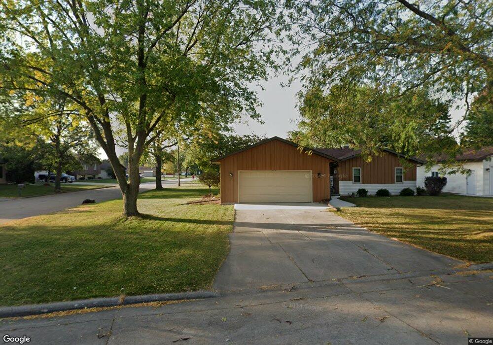
70 Pheasant Ct Appleton, WI 54915
South Appleton NeighborhoodEstimated Value: $316,000 - $345,764
4
Beds
3
Baths
1,230
Sq Ft
$269/Sq Ft
Est. Value
About This Home
This home is located at 70 Pheasant Ct, Appleton, WI 54915 and is currently estimated at $330,691, approximately $268 per square foot. 70 Pheasant Ct is a home located in Calumet County with nearby schools including Janet Berry Elementary School, James Madison Middle School, and Appleton East High School.
Ownership History
Date
Name
Owned For
Owner Type
Purchase Details
Closed on
Sep 13, 2024
Sold by
Mueller Mallory S
Bought by
Mueller Tyler D
Current Estimated Value
Purchase Details
Closed on
Apr 19, 2021
Sold by
Mueller Tyler D and Mueller Mallory S
Bought by
Mueller Tyler D and Mueller Mallory S
Purchase Details
Closed on
Feb 28, 2020
Sold by
Clancy Sean P and Clancy Patricia L
Bought by
Mueller Tyler D and Kaat Mallory S
Home Financials for this Owner
Home Financials are based on the most recent Mortgage that was taken out on this home.
Original Mortgage
$151,920
Interest Rate
3.6%
Mortgage Type
New Conventional
Create a Home Valuation Report for This Property
The Home Valuation Report is an in-depth analysis detailing your home's value as well as a comparison with similar homes in the area
Home Values in the Area
Average Home Value in this Area
Purchase History
| Date | Buyer | Sale Price | Title Company |
|---|---|---|---|
| Mueller Tyler D | -- | Title Resolutions Llc | |
| Mueller Tyler D | -- | Title Revolution | |
| Mueller Tyler D | $569,700 | None Listed On Document |
Source: Public Records
Mortgage History
| Date | Status | Borrower | Loan Amount |
|---|---|---|---|
| Previous Owner | Mueller Tyler D | $151,920 |
Source: Public Records
Tax History
| Year | Tax Paid | Tax Assessment Tax Assessment Total Assessment is a certain percentage of the fair market value that is determined by local assessors to be the total taxable value of land and additions on the property. | Land | Improvement |
|---|---|---|---|---|
| 2024 | -- | $275,900 | $49,600 | $226,300 |
| 2023 | $4,320 | $275,900 | $49,600 | $226,300 |
| 2022 | $4,184 | $193,300 | $39,600 | $153,700 |
| 2021 | $3,662 | $174,100 | $39,600 | $134,500 |
| 2020 | $3,618 | $174,100 | $39,600 | $134,500 |
| 2019 | $3,388 | $171,600 | $39,600 | $132,000 |
| 2018 | $3,005 | $137,400 | $36,000 | $101,400 |
| 2017 | $2,866 | $131,900 | $36,000 | $95,900 |
| 2016 | $2,774 | $131,900 | $36,000 | $95,900 |
| 2015 | $2,778 | $131,900 | $36,000 | $95,900 |
| 2013 | $2,954 | $139,800 | $37,900 | $101,900 |
Source: Public Records
Map
Nearby Homes
- 1128 E Layton Ave
- 1235 E Sylvan Ave
- 600 E Woodcrest Dr
- 1548 Oneida St
- 1438 Chesterfield Ct
- 2503 S Harmon St
- 3200 Huckleberry Ln
- 3608 S Berryfield Ln
- 201 E Meadow Grove Blvd
- 1421 E Midway Rd
- 1367 Midway Rd
- 1821 E Sylvan Ave
- W6534 Manitowoc Rd
- 326 E Wilson Ave
- 1237 E Calumet St
- 2519 S Eric Dr
- 1327 Province Terrace
- 1718 Acorn Ct
- 1259 Bartlein Ct
- 1928 S Lawe St
- 3235 S Whip Poor Will Ln
- 3235 Whippoorwill Ln
- 64 Pheasant Ct
- 3241 S Whip Poor Will Ln
- 3230 S Whip Poor Will Ln
- 50 Pheasant Ct
- 3236 S Whip Poor Will Ln
- 3224 S Whip Poor Will Ln
- 3242 S Whip Poor Will Ln
- 1026 E Meadow Grove Blvd
- 1014 E Meadow Grove Blvd
- 1100 E Meadow Grove Blvd
- 1006 E Meadow Grove Blvd
- 53 Pheasant Ct
- 57 Pheasant Ct
- 102 Prairie Ct
- 98 Prairie Ct
- 106 Prairie Ct
- 94 Prairie Ct
- 49 Pheasant Ct
Your Personal Tour Guide
Ask me questions while you tour the home.