70 Plantation Ln Saunderstown, RI 02874
Saunderstown NeighborhoodEstimated Value: $722,000 - $1,390,000
3
Beds
5
Baths
3,289
Sq Ft
$328/Sq Ft
Est. Value
About This Home
This home is located at 70 Plantation Ln, Saunderstown, RI 02874 and is currently estimated at $1,079,562, approximately $328 per square foot. 70 Plantation Ln is a home located in Washington County with nearby schools including Hamilton Elementary School, Wickford Middle School, and North Kingstown Sr. High School.
Ownership History
Date
Name
Owned For
Owner Type
Purchase Details
Closed on
Oct 9, 2001
Sold by
Berman Family Lp
Bought by
Buonanno Vincent J
Current Estimated Value
Purchase Details
Closed on
Nov 28, 2000
Sold by
Riesenkampff Alexander
Bought by
Pelli Stanley A and Christine Duhaime A
Purchase Details
Closed on
Mar 7, 1994
Sold by
Catmur Judith J
Bought by
Dehaime Ann Christine and Pelli Stanley A
Home Financials for this Owner
Home Financials are based on the most recent Mortgage that was taken out on this home.
Original Mortgage
$194,400
Interest Rate
7.01%
Mortgage Type
Purchase Money Mortgage
Create a Home Valuation Report for This Property
The Home Valuation Report is an in-depth analysis detailing your home's value as well as a comparison with similar homes in the area
Home Values in the Area
Average Home Value in this Area
Purchase History
| Date | Buyer | Sale Price | Title Company |
|---|---|---|---|
| Buonanno Vincent J | $225,000 | -- | |
| Pelli Stanley A | $200,000 | -- | |
| Dehaime Ann Christine | $243,000 | -- |
Source: Public Records
Mortgage History
| Date | Status | Borrower | Loan Amount |
|---|---|---|---|
| Closed | Dehaime Ann Christine | $165,000 | |
| Closed | Dehaime Ann Christine | $179,932 | |
| Closed | Dehaime Ann Christine | $193,800 | |
| Previous Owner | Dehaime Ann Christine | $194,400 |
Source: Public Records
Tax History Compared to Growth
Tax History
| Year | Tax Paid | Tax Assessment Tax Assessment Total Assessment is a certain percentage of the fair market value that is determined by local assessors to be the total taxable value of land and additions on the property. | Land | Improvement |
|---|---|---|---|---|
| 2025 | $16,608 | $1,122,890 | $451,690 | $671,200 |
| 2024 | $15,441 | $948,490 | $377,590 | $570,900 |
| 2023 | $15,441 | $948,490 | $377,590 | $570,900 |
| 2022 | $15,138 | $948,490 | $377,590 | $570,900 |
| 2021 | $12,506 | $714,600 | $226,000 | $488,600 |
| 2020 | $12,213 | $714,600 | $226,000 | $488,600 |
| 2019 | $12,213 | $714,600 | $226,000 | $488,600 |
| 2018 | $11,361 | $598,900 | $215,200 | $383,700 |
| 2017 | $11,134 | $598,900 | $215,200 | $383,700 |
| 2016 | $10,816 | $598,900 | $215,200 | $383,700 |
| 2015 | $10,908 | $565,200 | $215,200 | $350,000 |
| 2014 | $10,688 | $565,200 | $215,200 | $350,000 |
Source: Public Records
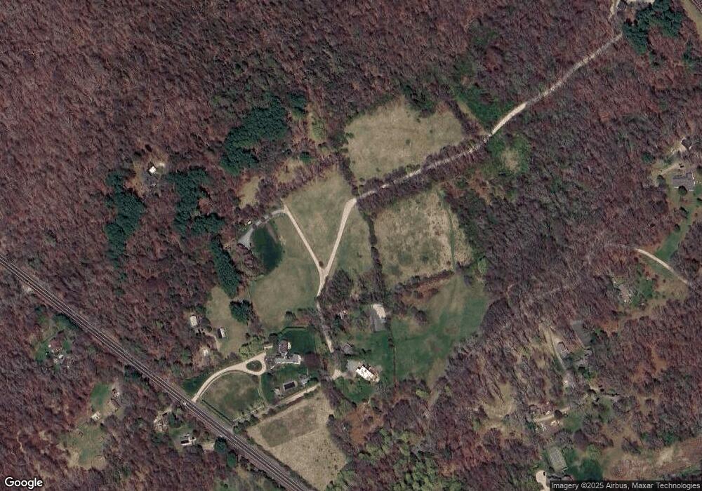
Map
Nearby Homes
- 73 Oceanwoods Dr
- 127 Oceanwoods Dr
- 51 Salisbury Ave
- 10 Highland Rd
- 65 Village Hill Ln
- 229 Earle Dr
- 63 Duck Cove Rd
- 480 Boston Neck Rd
- 2180 Tower Hill Rd
- 2424 Tower Hill Rd
- 471 Annaquatucket Rd
- 67 Daniel Dr
- 121 Seaside Dr
- 174 Seaside Dr
- 94 Spindrift St
- 31 Stanchion St
- 86 Spanker St
- 194 Phillips St
- 0 W Allenton Rd
- 21 Helm St
- 60 Plantation Ln
- 0 Plantation Ln
- 1480 Boston Neck Rd
- 80 Plantation Ln
- 1484 Boston Neck Rd
- 1444 Boston Neck Rd Unit 3
- 1444 Boston Neck Rd Unit 4
- 1431 Boston Neck Rd
- 150 Plantation Ln
- 140 Plantation Ln
- 1401 Boston Neck Rd
- 1454 Boston Neck Rd Unit 5
- 1454 Boston Neck Rd Unit 6
- 1510 Boston Neck Rd
- 00 Plantation Ln Ln
- 1459 Boston Neck Rd
- 108 Plantation Ln Ln
- 110 Plantation Ln Ln
- 1505 Boston Neck Rd
- 1545 Boston Neck Rd