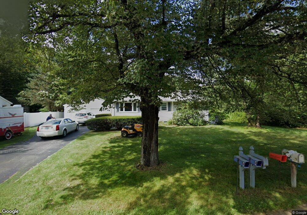
70 River Rd Allenstown, NH 03275
Estimated Value: $366,000 - $410,887
3
Beds
3
Baths
2,016
Sq Ft
$193/Sq Ft
Est. Value
About This Home
This home is located at 70 River Rd, Allenstown, NH 03275 and is currently estimated at $388,222, approximately $192 per square foot. 70 River Rd is a home located in Merrimack County with nearby schools including Allenstown Elementary School, Armand R. Dupont School, and Tender Years Child Care & Learning Center.
Ownership History
Date
Name
Owned For
Owner Type
Purchase Details
Closed on
Apr 9, 2024
Sold by
Maltais Elizabeth A and Maltais Eugene R
Bought by
Peverly Mitchell
Current Estimated Value
Home Financials for this Owner
Home Financials are based on the most recent Mortgage that was taken out on this home.
Original Mortgage
$385,000
Outstanding Balance
$379,269
Interest Rate
6.9%
Mortgage Type
Purchase Money Mortgage
Estimated Equity
$8,953
Create a Home Valuation Report for This Property
The Home Valuation Report is an in-depth analysis detailing your home's value as well as a comparison with similar homes in the area
Home Values in the Area
Average Home Value in this Area
Purchase History
| Date | Buyer | Sale Price | Title Company |
|---|---|---|---|
| Peverly Mitchell | $385,000 | None Available | |
| Peverly Mitchell | $385,000 | None Available |
Source: Public Records
Mortgage History
| Date | Status | Borrower | Loan Amount |
|---|---|---|---|
| Open | Peverly Mitchell | $385,000 | |
| Closed | Peverly Mitchell | $385,000 |
Source: Public Records
Tax History Compared to Growth
Tax History
| Year | Tax Paid | Tax Assessment Tax Assessment Total Assessment is a certain percentage of the fair market value that is determined by local assessors to be the total taxable value of land and additions on the property. | Land | Improvement |
|---|---|---|---|---|
| 2024 | $7,723 | $303,800 | $145,600 | $158,200 |
| 2023 | $6,441 | $303,800 | $145,600 | $158,200 |
| 2022 | $5,924 | $303,800 | $145,600 | $158,200 |
| 2021 | $5,708 | $181,200 | $83,100 | $98,100 |
| 2020 | $5,207 | $177,700 | $83,100 | $94,600 |
| 2019 | $5,526 | $177,700 | $83,100 | $94,600 |
| 2018 | $5,358 | $177,700 | $83,100 | $94,600 |
| 2017 | $5,706 | $177,700 | $83,100 | $94,600 |
| 2016 | $4,940 | $145,900 | $60,600 | $85,300 |
| 2015 | $4,898 | $149,200 | $60,600 | $88,600 |
| 2014 | $5,040 | $149,200 | $60,600 | $88,600 |
| 2013 | $4,704 | $149,200 | $60,600 | $88,600 |
Source: Public Records
Map
Nearby Homes
- 19 Sullivan Dr
- 10 Lane Dr
- 2 Cheryl Dr
- 1 1/2 Bartlett St
- 15 Sullivan Dr
- 111 Glass St
- 422 Dawn Dr Unit 23
- 427 Dawn Dr Unit 15
- 307 Dearborn Rd
- 9 Pine Acres Rd
- 12-14 Church St Unit 12,14
- 100 Main St Unit M10
- 100 Main St Unit 204
- 4 Rodger Rd
- 7 Ferry St
- 15 Main St
- 233 Pembroke St
- 259 Pembroke St
- 5 Catamount Hill Dr
- 101 4th Range Rd Unit 4