70 Riverwood Cir Effingham, NH 03882
Estimated Value: $374,000 - $478,929
3
Beds
2
Baths
2,143
Sq Ft
$191/Sq Ft
Est. Value
About This Home
This home is located at 70 Riverwood Cir, Effingham, NH 03882 and is currently estimated at $409,482, approximately $191 per square foot. 70 Riverwood Cir is a home with nearby schools including Effingham Elementary School, Kingswood Regional Middle School, and Kingswood Regional High School.
Ownership History
Date
Name
Owned For
Owner Type
Purchase Details
Closed on
Mar 31, 2016
Sold by
Delisle Michael D and Delisle Paulette G
Bought by
Delisle Michael D and Delisle P G
Current Estimated Value
Purchase Details
Closed on
Jan 10, 2006
Sold by
Andrewes John H and Andrewes Catherine A
Bought by
Delisle Michael D and Delisle Paulette G
Create a Home Valuation Report for This Property
The Home Valuation Report is an in-depth analysis detailing your home's value as well as a comparison with similar homes in the area
Home Values in the Area
Average Home Value in this Area
Purchase History
| Date | Buyer | Sale Price | Title Company |
|---|---|---|---|
| Delisle Michael D | -- | -- | |
| Delisle Michael D | $244,900 | -- |
Source: Public Records
Tax History Compared to Growth
Tax History
| Year | Tax Paid | Tax Assessment Tax Assessment Total Assessment is a certain percentage of the fair market value that is determined by local assessors to be the total taxable value of land and additions on the property. | Land | Improvement |
|---|---|---|---|---|
| 2024 | $7,111 | $258,400 | $42,500 | $215,900 |
| 2023 | $6,380 | $258,400 | $42,500 | $215,900 |
| 2022 | $5,937 | $251,900 | $42,500 | $209,400 |
| 2021 | $5,665 | $251,900 | $42,500 | $209,400 |
| 2020 | $688 | $251,900 | $42,500 | $209,400 |
| 2019 | $659 | $197,700 | $26,200 | $171,500 |
| 2018 | $4,399 | $197,700 | $26,200 | $171,500 |
| 2017 | $4,320 | $197,700 | $26,200 | $171,500 |
| 2016 | $672 | $197,700 | $26,200 | $171,500 |
| 2015 | $3,474 | $169,700 | $26,200 | $143,500 |
| 2014 | $3,987 | $196,600 | $37,100 | $159,500 |
| 2013 | $3,798 | $198,000 | $37,100 | $160,900 |
Source: Public Records
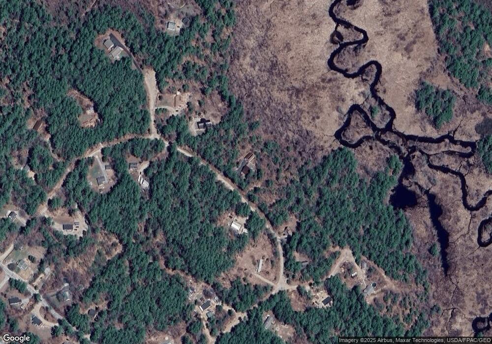
Map
Nearby Homes
- 55 Pine River Rd
- 7 Scotch Pine Ln
- 28 Beech River Cir
- 1185 Route 16
- 61 Nh Route 16b
- 375 Pine River Rd
- 14 Folsom Rd
- 16 Dore St
- 10 Dore St
- 34 Elm St
- 88 Chickville Rd
- 156 Elm St
- 45 Morris Ave
- 0 Green Mountain Rd Unit 30
- 15 Morris Ave
- 4 John Terrace
- 110 Elm St
- 5 John Terrace
- 1060 Route 16
- 520 Green Mountain Rd
- 00 Riverwood Cir
- 55 Riverwood Cir
- 82 Riverwood Cir
- 37 Riverwood Cir
- 34 Riverwood Cir Unit 11
- 8 Bean Smith Dr
- 3 Old Bridge Ct
- lot 12 Riverwood Cir
- 81 Riverwood Cir
- 99 Riverwood Cir
- 26 Riverwood Cir
- 14 Bean Smith Dr
- 98 Riverwood Cir
- 20 Old Bridge Ct
- 117 Riverwood Cir Unit 11
- 11 Bean Smith Dr
- 12 River Wood Cir
- 105 Pine River Rd
- Lot 11 Riverwood Cir
- 9 Riverwood Cir