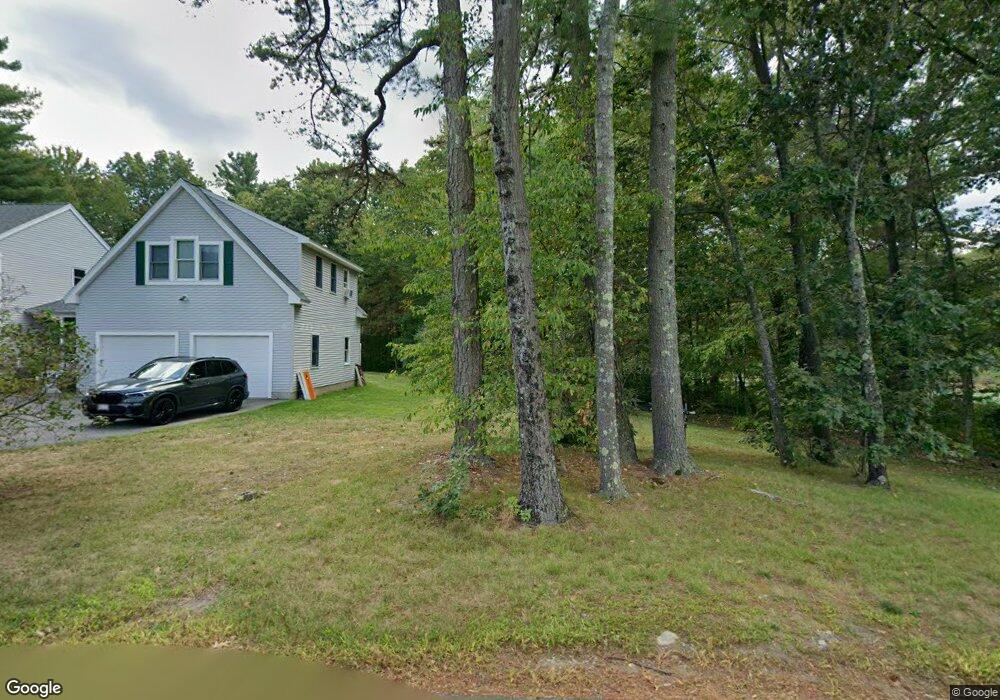
70 Round Rd Lunenburg, MA 01462
Estimated Value: $490,000 - $580,071
3
Beds
2
Baths
1,680
Sq Ft
$322/Sq Ft
Est. Value
About This Home
This home is located at 70 Round Rd, Lunenburg, MA 01462 and is currently estimated at $541,768, approximately $322 per square foot. 70 Round Rd is a home located in Worcester County with nearby schools including Lunenburg Primary School and Lunenburg High School.
Ownership History
Date
Name
Owned For
Owner Type
Purchase Details
Closed on
Jan 10, 2020
Sold by
Mccaffrey Kelly A
Bought by
Kelly A Mccaffrey Ret
Current Estimated Value
Purchase Details
Closed on
Jan 7, 2004
Sold by
Mccaffrey Kelly A and Richard Kevin J
Bought by
Mccaffrey Kelly A
Purchase Details
Closed on
Jul 29, 1994
Sold by
Peach Hill Corp
Bought by
Richards Kevin J and Mccaffrey Kelly A
Home Financials for this Owner
Home Financials are based on the most recent Mortgage that was taken out on this home.
Original Mortgage
$123,400
Interest Rate
8.25%
Mortgage Type
Purchase Money Mortgage
Purchase Details
Closed on
Jul 29, 1991
Sold by
Reynolds Peter M
Bought by
Peach Hill Corp
Create a Home Valuation Report for This Property
The Home Valuation Report is an in-depth analysis detailing your home's value as well as a comparison with similar homes in the area
Home Values in the Area
Average Home Value in this Area
Purchase History
| Date | Buyer | Sale Price | Title Company |
|---|---|---|---|
| Kelly A Mccaffrey Ret | -- | None Available | |
| Mccaffrey Kelly A | -- | -- | |
| Richards Kevin J | $129,900 | -- | |
| Peach Hill Corp | $40,000 | -- |
Source: Public Records
Mortgage History
| Date | Status | Borrower | Loan Amount |
|---|---|---|---|
| Previous Owner | Peach Hill Corp | $153,500 | |
| Previous Owner | Peach Hill Corp | $50,000 | |
| Previous Owner | Peach Hill Corp | $119,000 | |
| Previous Owner | Peach Hill Corp | $123,400 |
Source: Public Records
Tax History Compared to Growth
Tax History
| Year | Tax Paid | Tax Assessment Tax Assessment Total Assessment is a certain percentage of the fair market value that is determined by local assessors to be the total taxable value of land and additions on the property. | Land | Improvement |
|---|---|---|---|---|
| 2025 | $6,916 | $481,600 | $141,000 | $340,600 |
| 2024 | $6,434 | $456,300 | $133,000 | $323,300 |
| 2023 | $6,187 | $423,200 | $120,900 | $302,300 |
| 2022 | $5,932 | $345,100 | $100,800 | $244,300 |
| 2020 | $5,628 | $310,600 | $100,600 | $210,000 |
| 2019 | $5,367 | $287,300 | $94,800 | $192,500 |
| 2018 | $5,565 | $282,500 | $94,600 | $187,900 |
| 2017 | $5,421 | $271,300 | $90,400 | $180,900 |
| 2016 | $5,065 | $258,300 | $86,100 | $172,200 |
| 2015 | $4,589 | $250,500 | $81,700 | $168,800 |
Source: Public Records
Map
Nearby Homes
- 802 Reservoir Rd
- 12 Easter Brook Rd
- 2 Oakes Landing
- 659 Reservoir Rd
- 9 Winter Hill Rd
- 6 Turner Ln
- 45 Spring St
- 878 Flat Hill Rd
- 0 Windsor Rd
- 4 Davis St
- 2038 Lunenburg Rd
- 3 Mill St
- 4 Ambrose Way Unit 4
- 7 Ambrose Way Unit 5
- 6 Ambrose Way Unit 3
- 17 Ambrose Way Unit 17
- 9 Ambrose Way Unit 9
- 5 Ambrose Way Unit 5
- 3 Ambrose Way Unit 3
- 30 Ayer Rd