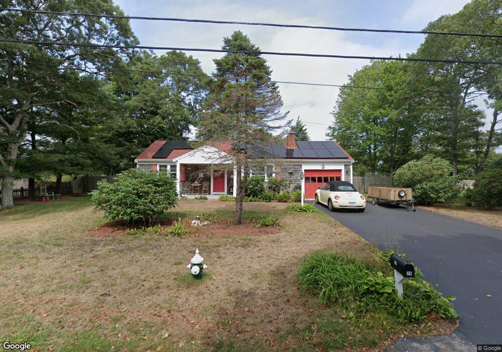
70 Sparrow Way South Yarmouth, MA 02664
Estimated Value: $483,743 - $520,000
2
Beds
1
Bath
864
Sq Ft
$579/Sq Ft
Est. Value
About This Home
This home is located at 70 Sparrow Way, South Yarmouth, MA 02664 and is currently estimated at $500,186, approximately $578 per square foot. 70 Sparrow Way is a home located in Barnstable County with nearby schools including Dennis-Yarmouth Regional High School and St. Pius X. School.
Ownership History
Date
Name
Owned For
Owner Type
Purchase Details
Closed on
Sep 19, 2025
Sold by
Todd Richard and Todd Maria D
Bought by
Todd Richard
Current Estimated Value
Purchase Details
Closed on
Jan 11, 2017
Sold by
Todd Richard
Bought by
Todd Richard and Todd Marie I
Purchase Details
Closed on
Sep 3, 2008
Sold by
Swift Leonard W
Bought by
Todd Richard
Home Financials for this Owner
Home Financials are based on the most recent Mortgage that was taken out on this home.
Original Mortgage
$196,222
Interest Rate
6.69%
Mortgage Type
Purchase Money Mortgage
Create a Home Valuation Report for This Property
The Home Valuation Report is an in-depth analysis detailing your home's value as well as a comparison with similar homes in the area
Home Values in the Area
Average Home Value in this Area
Purchase History
| Date | Buyer | Sale Price | Title Company |
|---|---|---|---|
| Todd Richard | $100,000 | -- | |
| Todd Richard | -- | -- | |
| Todd Richard | $204,000 | -- | |
| Todd Richard | $204,000 | -- |
Source: Public Records
Mortgage History
| Date | Status | Borrower | Loan Amount |
|---|---|---|---|
| Previous Owner | Todd Richard | $193,185 | |
| Previous Owner | Todd Richard | $196,222 | |
| Previous Owner | Todd Richard | $127,500 |
Source: Public Records
Tax History Compared to Growth
Tax History
| Year | Tax Paid | Tax Assessment Tax Assessment Total Assessment is a certain percentage of the fair market value that is determined by local assessors to be the total taxable value of land and additions on the property. | Land | Improvement |
|---|---|---|---|---|
| 2025 | $2,887 | $407,800 | $164,900 | $242,900 |
| 2024 | $2,675 | $362,400 | $139,500 | $222,900 |
| 2023 | $2,579 | $318,000 | $120,700 | $197,300 |
| 2022 | $2,445 | $266,300 | $109,700 | $156,600 |
| 2021 | $2,314 | $242,100 | $109,700 | $132,400 |
| 2020 | $2,275 | $227,500 | $109,700 | $117,800 |
| 2019 | $2,122 | $210,100 | $109,700 | $100,400 |
| 2018 | $1,994 | $193,800 | $93,400 | $100,400 |
| 2017 | $1,902 | $189,800 | $89,400 | $100,400 |
| 2016 | $1,812 | $181,600 | $81,200 | $100,400 |
| 2015 | $1,714 | $170,700 | $81,200 | $89,500 |
Source: Public Records
Map
Nearby Homes
- 33 Sparrow Way
- 0 Forsyth Ave
- 30 Quartermaster Row
- 72 Quartermaster Row
- 76 Captain Chase Rd
- 49 Captain Besse Rd
- 97 Captain Bacon Rd
- 16 Warren Rd Unit 16
- 16 Warren Rd
- 176 Beacon St
- 35 Captain Percival Rd
- 147 Captain Bacon Rd
- 17 Trowbridge Path
- 105 Webbers Path
- 338 Forest Rd
- 40 Deveau Ln
- 32 Deveau Ln
- 140 Diane Ave
- 209 Union St
- 8 Rowley Ln