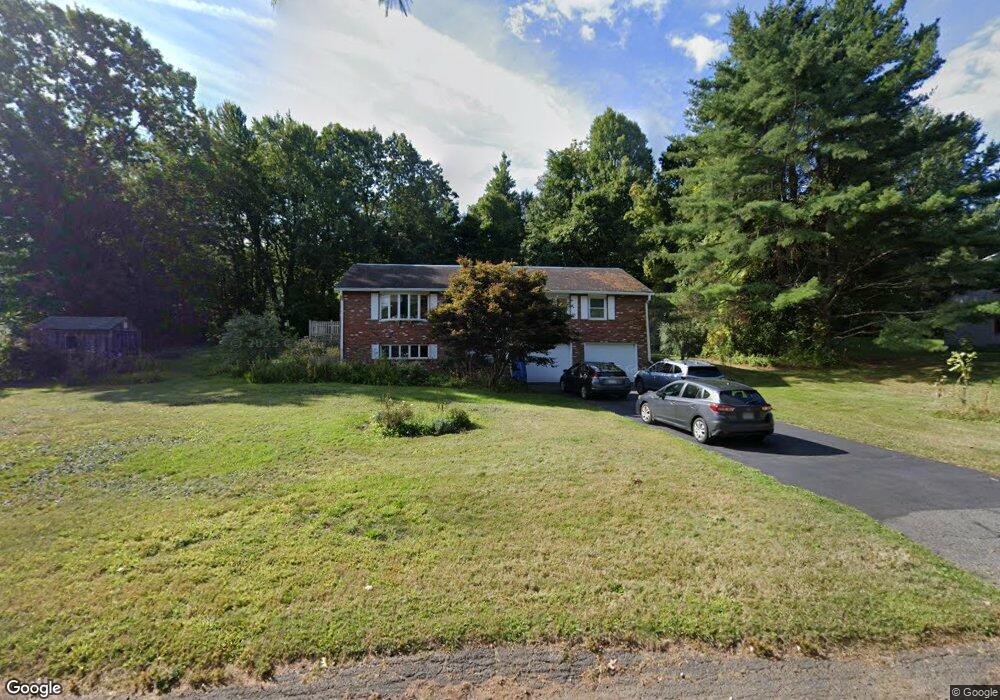
70 Stagecoach Rd Amherst, MA 01002
Estimated Value: $535,000 - $660,000
3
Beds
2
Baths
1,518
Sq Ft
$384/Sq Ft
Est. Value
About This Home
This home is located at 70 Stagecoach Rd, Amherst, MA 01002 and is currently estimated at $582,165, approximately $383 per square foot. 70 Stagecoach Rd is a home located in Hampshire County with nearby schools including Crocker Farm Elementary School, Amherst Regional Middle School, and Amherst Regional High School.
Ownership History
Date
Name
Owned For
Owner Type
Purchase Details
Closed on
Jul 27, 2000
Sold by
Dunn Robert E
Bought by
Voisin Gail B
Current Estimated Value
Home Financials for this Owner
Home Financials are based on the most recent Mortgage that was taken out on this home.
Original Mortgage
$180,000
Outstanding Balance
$65,082
Interest Rate
8.18%
Mortgage Type
Purchase Money Mortgage
Estimated Equity
$517,083
Purchase Details
Closed on
Jul 31, 1996
Sold by
Deroode Ann L and Deroode Theodore
Bought by
Est Dunn Doris M and Dunn James M
Create a Home Valuation Report for This Property
The Home Valuation Report is an in-depth analysis detailing your home's value as well as a comparison with similar homes in the area
Home Values in the Area
Average Home Value in this Area
Purchase History
| Date | Buyer | Sale Price | Title Company |
|---|---|---|---|
| Voisin Gail B | $176,000 | -- | |
| Est Dunn Doris M | $137,500 | -- |
Source: Public Records
Mortgage History
| Date | Status | Borrower | Loan Amount |
|---|---|---|---|
| Open | Est Dunn Doris M | $50,000 | |
| Open | Est Dunn Doris M | $180,000 | |
| Previous Owner | Est Dunn Doris M | $12,500 | |
| Previous Owner | Est Dunn Doris M | $75,000 |
Source: Public Records
Tax History
| Year | Tax Paid | Tax Assessment Tax Assessment Total Assessment is a certain percentage of the fair market value that is determined by local assessors to be the total taxable value of land and additions on the property. | Land | Improvement |
|---|---|---|---|---|
| 2025 | $84 | $465,600 | $198,000 | $267,600 |
| 2024 | $8,137 | $439,600 | $186,900 | $252,700 |
| 2023 | $7,614 | $378,800 | $169,800 | $209,000 |
| 2022 | $7,366 | $346,300 | $154,400 | $191,900 |
| 2021 | $7,011 | $321,300 | $143,000 | $178,300 |
| 2020 | $6,850 | $321,300 | $143,000 | $178,300 |
| 2019 | $6,666 | $305,800 | $143,000 | $162,800 |
| 2018 | $6,389 | $302,200 | $143,000 | $159,200 |
| 2017 | $6,617 | $303,100 | $136,100 | $167,000 |
| 2016 | $6,432 | $303,100 | $136,100 | $167,000 |
| 2015 | $6,226 | $303,100 | $136,100 | $167,000 |
Source: Public Records
Map
Nearby Homes
- 664 Bay Rd
- 18 Country Ln
- Lots A-C Federal St
- 16 Hawthorn Rd
- 0 Federal St
- 23 Alyssum Dr
- Lot 1 Amherst Rd
- 1114 S East St
- 100 Larkspur Dr
- 130 Linden Ridge Rd
- 89 Potwine Ln
- 6 Eveningstar Dr
- 105 Pomeroy Ln
- 27 Summerfield Rd
- 13 Vista Terrace
- 53 Pine Grove Unit 53
- 67 Pine Grove Unit 67
- 1 Autumn Ln
- 19 Baldwin Ln
- 178 W Pomeroy Ln
Your Personal Tour Guide
Ask me questions while you tour the home.