70 Stone Bridge Ln Ardmore, OK 73401
Estimated Value: $338,000 - $491,000
3
Beds
2
Baths
2,694
Sq Ft
$158/Sq Ft
Est. Value
About This Home
This home is located at 70 Stone Bridge Ln, Ardmore, OK 73401 and is currently estimated at $426,905, approximately $158 per square foot. 70 Stone Bridge Ln is a home with nearby schools including Lone Grove Primary School, Lone Grove Intermediate School, and Lone Grove Middle School.
Ownership History
Date
Name
Owned For
Owner Type
Purchase Details
Closed on
Oct 15, 2018
Sold by
Ramsey Justin and Ramsey Bobbi Joanne
Bought by
Callis Heather M and Callis Levi H
Current Estimated Value
Home Financials for this Owner
Home Financials are based on the most recent Mortgage that was taken out on this home.
Original Mortgage
$261,250
Outstanding Balance
$226,885
Interest Rate
4.5%
Mortgage Type
New Conventional
Estimated Equity
$200,020
Purchase Details
Closed on
Jul 9, 1997
Sold by
047, L L C
Bought by
Ramsey Justin Lee
Create a Home Valuation Report for This Property
The Home Valuation Report is an in-depth analysis detailing your home's value as well as a comparison with similar homes in the area
Home Values in the Area
Average Home Value in this Area
Purchase History
| Date | Buyer | Sale Price | Title Company |
|---|---|---|---|
| Callis Heather M | $275,000 | None Available | |
| Ramsey Justin Lee | $36,000 | -- |
Source: Public Records
Mortgage History
| Date | Status | Borrower | Loan Amount |
|---|---|---|---|
| Open | Callis Heather M | $261,250 |
Source: Public Records
Tax History Compared to Growth
Tax History
| Year | Tax Paid | Tax Assessment Tax Assessment Total Assessment is a certain percentage of the fair market value that is determined by local assessors to be the total taxable value of land and additions on the property. | Land | Improvement |
|---|---|---|---|---|
| 2025 | $3,484 | $34,331 | $5,503 | $28,828 |
| 2024 | $3,484 | $33,331 | $5,343 | $27,988 |
| 2023 | $3,382 | $32,360 | $4,950 | $27,410 |
| 2022 | $3,245 | $32,360 | $4,950 | $27,410 |
| 2021 | $3,265 | $32,360 | $4,950 | $27,410 |
| 2020 | $3,246 | $32,360 | $4,950 | $27,410 |
| 2019 | $3,308 | $33,000 | $4,950 | $28,050 |
| 2018 | $2,202 | $22,087 | $3,084 | $19,003 |
| 2017 | $2,216 | $22,315 | $3,084 | $19,231 |
| 2016 | $2,234 | $22,544 | $3,084 | $19,460 |
| 2015 | $2,684 | $24,327 | $771 | $23,556 |
| 2014 | $2,602 | $23,619 | $771 | $22,848 |
Source: Public Records
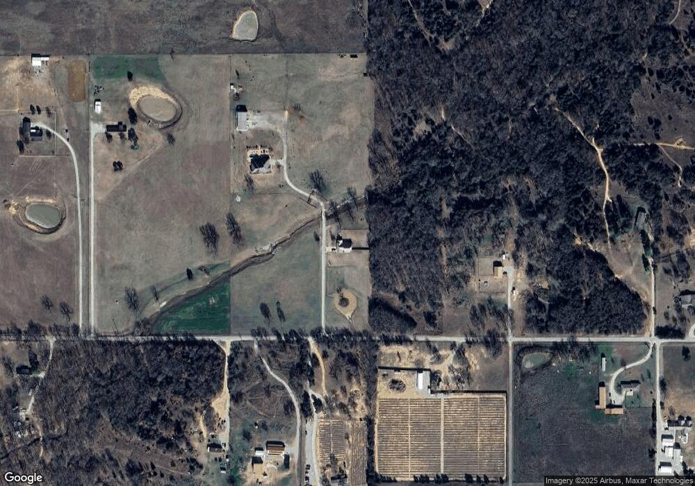
Map
Nearby Homes
- 2403 Cardinal Rd
- 0 Cardinal Rd
- 0 S Meridian Rd S Unit 1197251
- 0 S Meridian Rd S Unit 2547724
- 10306 Meridian Rd
- 1599 Cardinal Rd
- 3452 Lindale Rd
- 3567 Lindale Rd
- 1892 Stobtown Rd
- 111 Hill Billy Ln
- 5893 Newport Rd
- 234 Farland St
- 678 Bethel Rd
- 2855 Deese Rd
- 10925 Prairie Valley Rd
- 6892 Meridian Rd
- 1490 Woodford Rd
- 1900 Hometown Rd
- 0 Callahan Rd
- 441 Acorn Rd
- 70 Stone Bridge Ln
- 2522 Stone Bridge Ln
- 202 Stone Bridge Ln
- 2358 Cardinal Rd
- 2529 Cardinal Rd
- 2581 Cardinal Rd
- 2581 Cardinal Rd
- 773 Cardinal Rd
- 2235 Cardinal Rd
- 2728 Cardinal Rd
- 2208 Cardinal Rd
- 2783 Cardinal Rd
- 2229 Cardinal Rd
- 2734 Cardinal Rd
- 2217 Cardinal Rd
- 2089 Cardinal Rd
- 2118 Cardinal Rd
- 3137 Cardinal Rd
- 350 Ag Rd
- 2022 Cardinal Rd