70 Tamarack Way Rindge, NH 03461
Estimated Value: $373,000 - $560,000
4
Beds
3
Baths
2,682
Sq Ft
$183/Sq Ft
Est. Value
About This Home
This home is located at 70 Tamarack Way, Rindge, NH 03461 and is currently estimated at $491,301, approximately $183 per square foot. 70 Tamarack Way is a home with nearby schools including Rindge Memorial School, Conant Middle High School, and Conant High School.
Create a Home Valuation Report for This Property
The Home Valuation Report is an in-depth analysis detailing your home's value as well as a comparison with similar homes in the area
Home Values in the Area
Average Home Value in this Area
Tax History Compared to Growth
Tax History
| Year | Tax Paid | Tax Assessment Tax Assessment Total Assessment is a certain percentage of the fair market value that is determined by local assessors to be the total taxable value of land and additions on the property. | Land | Improvement |
|---|---|---|---|---|
| 2024 | $7,656 | $302,505 | $56,205 | $246,300 |
| 2023 | $7,590 | $303,110 | $56,810 | $246,300 |
| 2022 | $6,981 | $303,110 | $56,810 | $246,300 |
| 2021 | $6,865 | $303,110 | $56,810 | $246,300 |
| 2020 | $6,809 | $303,284 | $56,984 | $246,300 |
| 2019 | $6,767 | $243,772 | $48,972 | $194,800 |
| 2018 | $6,713 | $244,119 | $49,319 | $194,800 |
| 2017 | $6,638 | $244,119 | $49,319 | $194,800 |
| 2016 | $6,813 | $244,119 | $49,319 | $194,800 |
| 2015 | $6,808 | $244,119 | $49,319 | $194,800 |
| 2014 | $6,826 | $262,219 | $89,719 | $172,500 |
| 2013 | $6,698 | $263,081 | $89,881 | $173,200 |
Source: Public Records
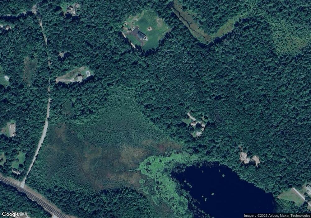
Map
Nearby Homes
- 64 Old Ashburnham Rd
- 10 Sun Cliff Dr
- 113 Converseville Rd
- 46 Swan Point Rd
- 359 Poor Farm Rd
- 634 Old New Ipswich Rd
- 714 Old New Ipswich Rd
- 0 Lake Haven Ln
- 703 Old New Ipswich Rd
- 25 Jalen Rd
- 18 Westbrook Dr
- 27 Westbrook Dr
- 16 2nd St
- 199 Tuckerman Rd
- 19 Monomonac Terrace
- 35 Hillside Dr
- 119 W Shore Dr
- 7 Emerson Dr
- 13 Browns Lake Rd
- 122 Timbertop Rd
- 0 Tamarack Way
- Lot 33 New Hampshire 119
- 30 Divol Pond Rd
- 44 Beaver Dam Rd
- 47 Divol Pond Rd
- 133 Tamarack Way
- 43 Tamarack Way
- 20 Divol Pond Rd
- 50 Beaver Dam Rd
- 48 Divol Pond Rd
- 102 Hampshire Rd
- 19 Tamarack Way
- 118 Hampshire Rd
- 12 Divol Pond Rd
- 342 Nh Route 119
- 356 Nh Route 119
- 26 Farrar Rd
- 14 Divol Pond Rd
- 5 Farrar Rd
- 14 Heritage Dr