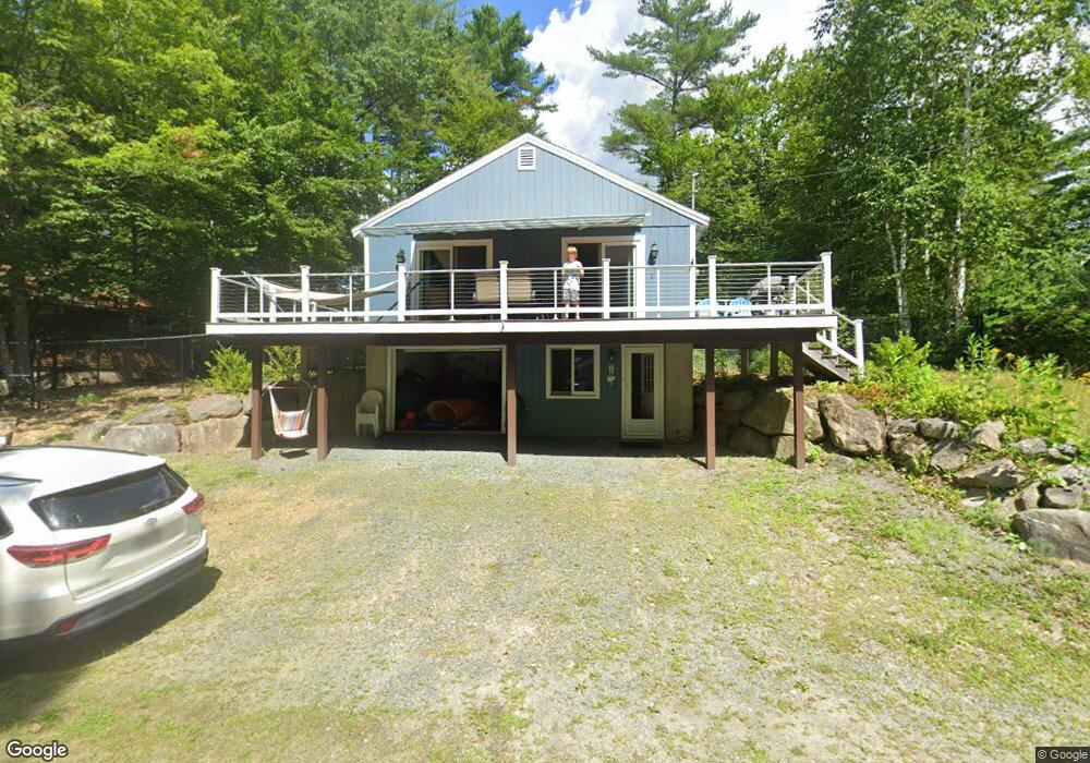
70 Tristan Ln Bristol, NH 03222
Estimated Value: $450,432 - $666,000
2
Beds
1
Bath
1,150
Sq Ft
$489/Sq Ft
Est. Value
About This Home
This home is located at 70 Tristan Ln, Bristol, NH 03222 and is currently estimated at $562,608, approximately $489 per square foot. 70 Tristan Ln is a home with nearby schools including Bristol Elementary School.
Ownership History
Date
Name
Owned For
Owner Type
Purchase Details
Closed on
Jun 29, 2010
Sold by
Haines Theodore M
Bought by
Haines Ft
Current Estimated Value
Purchase Details
Closed on
Oct 14, 2004
Sold by
Harris James T and Harris Karen
Bought by
Haines Theodore M and Haines Jane A
Home Financials for this Owner
Home Financials are based on the most recent Mortgage that was taken out on this home.
Original Mortgage
$140,000
Interest Rate
5.8%
Mortgage Type
Purchase Money Mortgage
Create a Home Valuation Report for This Property
The Home Valuation Report is an in-depth analysis detailing your home's value as well as a comparison with similar homes in the area
Home Values in the Area
Average Home Value in this Area
Purchase History
| Date | Buyer | Sale Price | Title Company |
|---|---|---|---|
| Haines Ft | $263,000 | -- | |
| Haines Theodore M | $245,000 | -- |
Source: Public Records
Mortgage History
| Date | Status | Borrower | Loan Amount |
|---|---|---|---|
| Previous Owner | Haines Theodore M | $140,000 |
Source: Public Records
Tax History Compared to Growth
Tax History
| Year | Tax Paid | Tax Assessment Tax Assessment Total Assessment is a certain percentage of the fair market value that is determined by local assessors to be the total taxable value of land and additions on the property. | Land | Improvement |
|---|---|---|---|---|
| 2024 | $5,487 | $232,300 | $118,700 | $113,600 |
| 2023 | $5,285 | $232,300 | $118,700 | $113,600 |
| 2022 | $4,876 | $232,300 | $118,700 | $113,600 |
| 2021 | $4,695 | $232,300 | $118,700 | $113,600 |
| 2020 | $4,806 | $232,300 | $118,700 | $113,600 |
| 2019 | $4,617 | $202,500 | $98,200 | $104,300 |
| 2018 | $1,869 | $202,500 | $98,200 | $104,300 |
| 2017 | $1,826 | $202,500 | $98,200 | $104,300 |
| 2016 | $4,176 | $202,500 | $98,200 | $104,300 |
| 2015 | $4,404 | $218,800 | $107,300 | $111,500 |
| 2014 | $4,404 | $218,800 | $107,300 | $111,500 |
| 2013 | $4,425 | $219,300 | $107,300 | $112,000 |
Source: Public Records
Map
Nearby Homes
- 383 Wulamat Rd
- 35 Manor Estates Dr Unit 14
- 40 Adams Rd
- 26 Don Gerry Rd
- 199 Cottage City Rd
- 114 Ledgewood Terrace
- 125 Verrill Rd
- 862 Mayhew Turnpike Unit 1
- 94 Mandi Ln
- 29 Daniels Rd
- Lot 7 Hall Rd
- 333 Lake St
- 4 Birchwood Dr Unit A
- 497 W Shore Rd
- 00 Ledgewood Cir Unit 7
- 301 Perkins Hill Rd
- 80 Patten Rd
- 341 Perkins Hill Rd
- 150 Peaked Hill Rd
- 135 Pleasant St