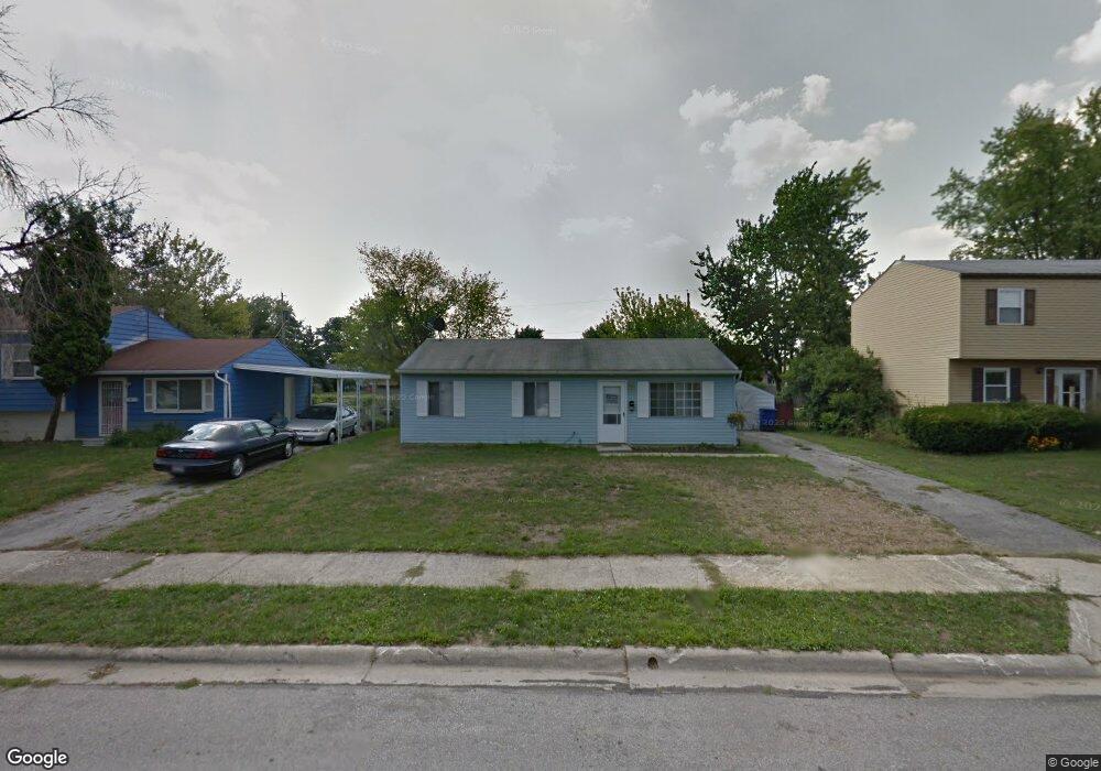
70 Westland Way Delaware, OH 43015
Estimated Value: $214,000 - $243,000
3
Beds
1
Bath
912
Sq Ft
$252/Sq Ft
Est. Value
About This Home
This home is located at 70 Westland Way, Delaware, OH 43015 and is currently estimated at $230,217, approximately $252 per square foot. 70 Westland Way is a home located in Delaware County with nearby schools including Robert F. Schultz Elementary School, John C. Dempsey Middle School, and Rutherford B. Hayes High School.
Ownership History
Date
Name
Owned For
Owner Type
Purchase Details
Closed on
Oct 22, 2018
Sold by
New Line Investments Llc
Bought by
Fairbanks Wendy J
Current Estimated Value
Home Financials for this Owner
Home Financials are based on the most recent Mortgage that was taken out on this home.
Original Mortgage
$83,420
Outstanding Balance
$72,902
Interest Rate
4.6%
Mortgage Type
New Conventional
Estimated Equity
$157,315
Purchase Details
Closed on
May 27, 2005
Sold by
Moore Paul W and Moore Thelma R
Bought by
New Line Investments Llc
Create a Home Valuation Report for This Property
The Home Valuation Report is an in-depth analysis detailing your home's value as well as a comparison with similar homes in the area
Home Values in the Area
Average Home Value in this Area
Purchase History
| Date | Buyer | Sale Price | Title Company |
|---|---|---|---|
| Fairbanks Wendy J | $86,000 | Title First Agency Inc | |
| Fairbanks Wendy J | $86,000 | Title First Agency Inc | |
| New Line Investments Llc | $90,000 | Lawyers Title | |
| Moore Paul W | -- | Lawyers Title |
Source: Public Records
Mortgage History
| Date | Status | Borrower | Loan Amount |
|---|---|---|---|
| Open | Fairbanks Wendy J | $83,420 | |
| Closed | Fairbanks Wendy J | $83,420 |
Source: Public Records
Tax History Compared to Growth
Tax History
| Year | Tax Paid | Tax Assessment Tax Assessment Total Assessment is a certain percentage of the fair market value that is determined by local assessors to be the total taxable value of land and additions on the property. | Land | Improvement |
|---|---|---|---|---|
| 2024 | $2,461 | $50,860 | $15,050 | $35,810 |
| 2023 | $2,465 | $50,860 | $15,050 | $35,810 |
| 2022 | $2,458 | $40,570 | $10,120 | $30,450 |
| 2021 | $2,507 | $40,570 | $10,120 | $30,450 |
| 2020 | $2,536 | $40,570 | $10,120 | $30,450 |
| 2019 | $2,200 | $31,500 | $9,100 | $22,400 |
| 2018 | $2,228 | $31,500 | $9,100 | $22,400 |
| 2017 | $1,921 | $30,700 | $7,880 | $22,820 |
| 2016 | $1,816 | $30,700 | $7,880 | $22,820 |
| 2015 | $1,826 | $30,700 | $7,880 | $22,820 |
| 2014 | $1,855 | $30,700 | $7,880 | $22,820 |
| 2013 | $1,885 | $29,830 | $7,880 | $21,950 |
Source: Public Records
Map
Nearby Homes
- 177 Richards Dr
- 72 Colfret Ct
- 189 Delaware Dr
- 175 Firestone Dr
- 0 South St
- 50 Perkins Ave
- 106 Gold Dust Ct
- 448 W William St
- 362 Hearthstone Dr
- 383 Wheatfield Dr
- 431 Wheatfield Dr
- 413 Steeplechase St
- 312 W William St
- 297 W William St
- 169 Hillside Dr
- 25 David St
- 327 Rockmill St
- 231 Rockmill St
- 736 Swanson St
- 336 Onyx Ln
- 66 Westland Way
- 76 Westland Way
- 58 Westland Way
- 82 Westland Way
- 123 Marvin Ln
- 117 Marvin Ln
- 129 Marvin Ln
- 111 Marvin Ln
- 52 Westland Way
- 88 Westland Way
- 130 Vaughn Rd
- 59 Westland Way
- 53 Westland Way
- 131 Vaughn Rd
- 105 Marvin Ln
- 94 Westland Way
- 46 Westland Way
- 135 Marvin Ln
- 47 Westland Way
- 99 Marvin Ln