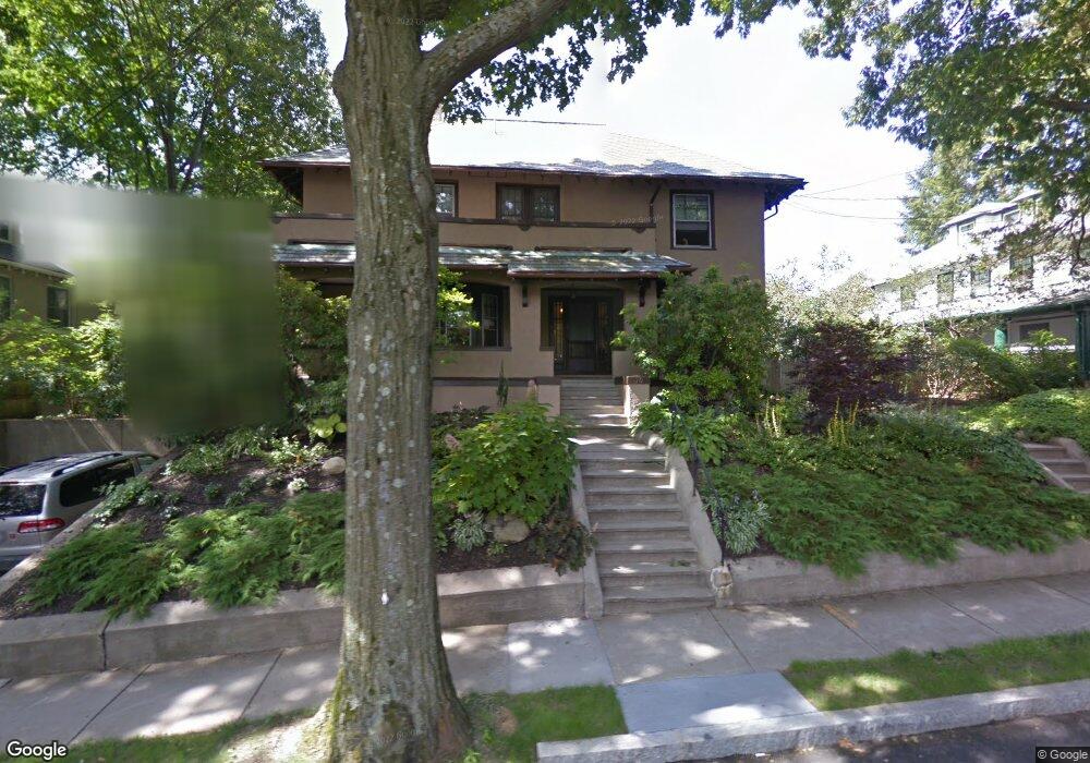
70 Williston Rd Brookline, MA 02445
Washington Square NeighborhoodEstimated Value: $2,935,000 - $3,307,000
5
Beds
4
Baths
3,164
Sq Ft
$982/Sq Ft
Est. Value
About This Home
This home is located at 70 Williston Rd, Brookline, MA 02445 and is currently estimated at $3,107,617, approximately $982 per square foot. 70 Williston Rd is a home located in Norfolk County with nearby schools including Michael Driscoll, Brookline High School, and Boston Green Academy Horace Mann Charter School.
Ownership History
Date
Name
Owned For
Owner Type
Purchase Details
Closed on
Jun 17, 2021
Sold by
Lev Carol R and Lev Mark T
Bought by
Mark Toby Lev Ret
Current Estimated Value
Purchase Details
Closed on
Feb 28, 2006
Sold by
Davis Evelyn R and Megerman Evelyn R
Bought by
Lev Carol R and Lev Mark T
Home Financials for this Owner
Home Financials are based on the most recent Mortgage that was taken out on this home.
Original Mortgage
$850,000
Interest Rate
6.17%
Mortgage Type
Purchase Money Mortgage
Create a Home Valuation Report for This Property
The Home Valuation Report is an in-depth analysis detailing your home's value as well as a comparison with similar homes in the area
Home Values in the Area
Average Home Value in this Area
Purchase History
| Date | Buyer | Sale Price | Title Company |
|---|---|---|---|
| Mark Toby Lev Ret | -- | None Available | |
| Lev Carol R | $1,348,700 | -- |
Source: Public Records
Mortgage History
| Date | Status | Borrower | Loan Amount |
|---|---|---|---|
| Previous Owner | Lev Carol R | $850,000 |
Source: Public Records
Tax History
| Year | Tax Paid | Tax Assessment Tax Assessment Total Assessment is a certain percentage of the fair market value that is determined by local assessors to be the total taxable value of land and additions on the property. | Land | Improvement |
|---|---|---|---|---|
| 2025 | $30,340 | $3,074,000 | $1,561,600 | $1,512,400 |
| 2024 | $28,903 | $2,958,300 | $1,501,500 | $1,456,800 |
| 2023 | $27,793 | $2,787,700 | $1,387,400 | $1,400,300 |
| 2022 | $27,054 | $2,655,000 | $1,321,300 | $1,333,700 |
| 2021 | $25,018 | $2,552,900 | $1,270,500 | $1,282,400 |
| 2020 | $22,873 | $2,420,400 | $1,155,000 | $1,265,400 |
| 2019 | $21,599 | $2,305,100 | $1,100,000 | $1,205,100 |
| 2018 | $18,375 | $1,942,400 | $774,600 | $1,167,800 |
| 2017 | $18,104 | $1,832,400 | $730,800 | $1,101,600 |
| 2016 | $16,658 | $1,598,700 | $569,100 | $1,029,600 |
| 2015 | $15,827 | $1,481,900 | $531,900 | $950,000 |
| 2014 | $16,554 | $1,453,400 | $483,600 | $969,800 |
Source: Public Records
Map
Nearby Homes
- 9 Downing Rd
- 45 Bartlett Crescent Unit 402
- 45 Bartlett Crescent Unit 404
- 45 Bartlett Crescent Unit 302
- 45 Bartlett Crescent Unit 401
- 45 Bartlett Crescent Unit 101
- 45 Bartlett Crescent Unit 203
- 45 Bartlett Crescent Unit 105
- 757 Washington St Unit 2
- 36 Cummings Rd Unit 1
- 311 Allston St Unit 11
- 1778 Beacon St Unit 302
- 309 Allston St Unit 6
- 1564 Commonwealth Ave Unit 3
- 300 Allston St Unit 205
- 1641 Commonwealth Ave Unit 16
- 32 Ransom Rd Unit 4
- 15 Colliston Rd Unit 6
- 195 Winthrop Rd Unit 1
- 38 Ransom Rd Unit 12
Your Personal Tour Guide
Ask me questions while you tour the home.