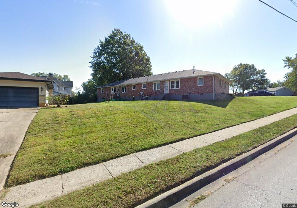
700 Broad St Warrensburg, MO 64093
Estimated Value: $250,612 - $401,000
Studio
--
Bath
2,399
Sq Ft
$131/Sq Ft
Est. Value
About This Home
This home is located at 700 Broad St, Warrensburg, MO 64093 and is currently estimated at $313,403, approximately $130 per square foot. 700 Broad St is a home located in Johnson County with nearby schools including Ridge View Elementary School, Sterling Elementary School, and Warrensburg Middle School.
Ownership History
Date
Name
Owned For
Owner Type
Purchase Details
Closed on
Jun 11, 2024
Sold by
Mccartney Amy and Mccartney Jerome
Bought by
Hammons Housing Llc
Current Estimated Value
Home Financials for this Owner
Home Financials are based on the most recent Mortgage that was taken out on this home.
Original Mortgage
$187,000
Outstanding Balance
$183,813
Interest Rate
7.09%
Mortgage Type
New Conventional
Estimated Equity
$129,590
Purchase Details
Closed on
Sep 29, 2015
Sold by
See Shirley Ann and See Donald C
Bought by
Boling Dennis R and Boling Lisa R
Create a Home Valuation Report for This Property
The Home Valuation Report is an in-depth analysis detailing your home's value as well as a comparison with similar homes in the area
Home Values in the Area
Average Home Value in this Area
Purchase History
| Date | Buyer | Sale Price | Title Company |
|---|---|---|---|
| Hammons Housing Llc | -- | Western Missouri Title | |
| Boling Dennis R | -- | Western Missouri Title Co |
Source: Public Records
Mortgage History
| Date | Status | Borrower | Loan Amount |
|---|---|---|---|
| Open | Hammons Housing Llc | $187,000 |
Source: Public Records
Tax History
| Year | Tax Paid | Tax Assessment Tax Assessment Total Assessment is a certain percentage of the fair market value that is determined by local assessors to be the total taxable value of land and additions on the property. | Land | Improvement |
|---|---|---|---|---|
| 2025 | $1,810 | $24,120 | $0 | $0 |
| 2024 | $1,696 | $22,205 | $0 | $0 |
| 2023 | $1,696 | $22,205 | $0 | $0 |
| 2022 | $1,635 | $21,319 | $0 | $0 |
| 2021 | $1,630 | $21,319 | $0 | $0 |
| 2020 | $1,579 | $20,433 | $0 | $0 |
| 2019 | $1,578 | $20,433 | $0 | $0 |
| 2017 | $1,574 | $20,433 | $0 | $0 |
| 2016 | $1,451 | $20,433 | $0 | $0 |
| 2015 | $1,490 | $20,433 | $0 | $0 |
| 2014 | $1,293 | $20,433 | $0 | $0 |
Source: Public Records
Map
Nearby Homes
- 701 A B C Broad St
- 103 N Mitchell St
- 623 Christopher St
- 944 Ridge Dr
- 942 Ridge Dr
- 1008 Anderson St
- 612 Christopher St
- 432 E Market St
- 300 9th St
- 300 Zoll St
- 700 E Clark St
- 408 E Gay St
- 903 E Clark St
- 133 N Water St
- 912 Vest Dr
- 302 Knoll Dr
- 1007 Vest Dr
- 503 Wilkes Dr
- 411 10th Street Terrace
- 312 E Gay St
Your Personal Tour Guide
Ask me questions while you tour the home.