700 Lewis Branch Rd Tennessee Ridge, TN 37178
Estimated Value: $163,000 - $329,000
--
Bed
2
Baths
1,064
Sq Ft
$233/Sq Ft
Est. Value
About This Home
This home is located at 700 Lewis Branch Rd, Tennessee Ridge, TN 37178 and is currently estimated at $248,333, approximately $233 per square foot. 700 Lewis Branch Rd is a home located in Houston County.
Ownership History
Date
Name
Owned For
Owner Type
Purchase Details
Closed on
Jun 16, 2021
Sold by
Wolfe Joel Martin
Bought by
Jones Tyler E and Jones Kelley T
Current Estimated Value
Purchase Details
Closed on
Mar 15, 2013
Sold by
Curtis Elizabeth Y
Bought by
Wolfe Joel Martin
Home Financials for this Owner
Home Financials are based on the most recent Mortgage that was taken out on this home.
Original Mortgage
$35,000
Interest Rate
3.57%
Mortgage Type
Cash
Purchase Details
Closed on
Jul 16, 2012
Sold by
Wolfe Clifford K
Bought by
Johnson Lee Evans
Purchase Details
Closed on
Jun 19, 2012
Sold by
Curtis Elizabeth Y
Bought by
Wolfe Clifford K and Wolfe Karen A
Purchase Details
Closed on
Jun 1, 1984
Bought by
Curtis Bobby G and Curtis Elizabeth Y
Create a Home Valuation Report for This Property
The Home Valuation Report is an in-depth analysis detailing your home's value as well as a comparison with similar homes in the area
Home Values in the Area
Average Home Value in this Area
Purchase History
| Date | Buyer | Sale Price | Title Company |
|---|---|---|---|
| Jones Tyler E | $55,000 | None Available | |
| Wolfe Joel Martin | $50,000 | -- | |
| Johnson Lee Evans | $60,000 | -- | |
| Wolfe Clifford K | $40,000 | -- | |
| Curtis Bobby G | $12,700 | -- |
Source: Public Records
Mortgage History
| Date | Status | Borrower | Loan Amount |
|---|---|---|---|
| Previous Owner | Wolfe Joel Martin | $35,000 |
Source: Public Records
Tax History Compared to Growth
Tax History
| Year | Tax Paid | Tax Assessment Tax Assessment Total Assessment is a certain percentage of the fair market value that is determined by local assessors to be the total taxable value of land and additions on the property. | Land | Improvement |
|---|---|---|---|---|
| 2024 | $101 | $5,700 | $5,700 | $0 |
| 2023 | $101 | $5,700 | $5,700 | $0 |
| 2022 | $251 | $8,975 | $4,475 | $4,500 |
| 2021 | $251 | $8,975 | $4,475 | $4,500 |
| 2020 | $230 | $8,975 | $4,475 | $4,500 |
| 2019 | $230 | $7,200 | $3,900 | $3,300 |
| 2018 | $230 | $8,100 | $4,800 | $3,300 |
| 2017 | $230 | $7,200 | $3,900 | $3,300 |
| 2016 | $230 | $7,200 | $3,900 | $3,300 |
| 2015 | $230 | $7,200 | $3,900 | $3,300 |
| 2014 | -- | $7,188 | $0 | $0 |
Source: Public Records
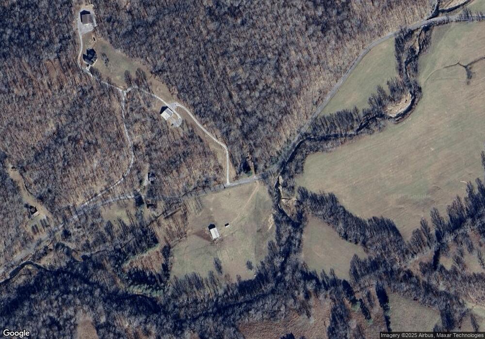
Map
Nearby Homes
- 0 Cooley Ford Rd Unit LotWP007 22557710
- 0 Cooley Ford Rd Unit RTC2974712
- 110 Peachtree St
- 155 Rolling Hills Dr
- 0 Main St N Unit RTC2988796
- 0 Main St N Unit RTC3003416
- 0 Main St N Unit RTC2987692
- 0 Main St N Unit RTC2988794
- 0 Main St N Unit RTC2988130
- 0 Main St N Unit RTC2988128
- 0 Main St N Unit RTC2987687
- 0 Main St N Unit RTC2988129
- 0 Main St N Unit RTC2988126
- 0 Main St N Unit RTC2988125
- 0 Main St N Unit RTC3003418
- 0 Main St N Unit RTC2988793
- 0 Main St N Unit RTC3006740
- 0 Main St N Unit RTC2988127
- 0 Main St N Unit RTC3003412
- 0 Taylor St Unit RTC2764411
- 842 Lewis Branch Rd
- 927 Lewis Branch Rd Unit 950
- 374 Brown Cemetery Ln
- 1334 Olson Lane Rd
- 1395 Olson Lane Rd Unit 1397
- 1078 Limekiln Rd
- 1252 Lewis Branch Rd
- 2414 Waverly Rd
- 1790 Olson Lane Rd
- 400 Brown Cemetery Ln
- 1760 Waverly Rd
- 175 Old Schoolhouse Ln
- 986 Olson Lane Rd
- 2426 Limekiln Rd
- 2636 Waverly Rd
- 3122 Waverly Rd
- 2868 Waverly Rd
- 2910 Waverly Rd
- 0 Old Schoolhouse Ln
- 1709 Waverly Rd