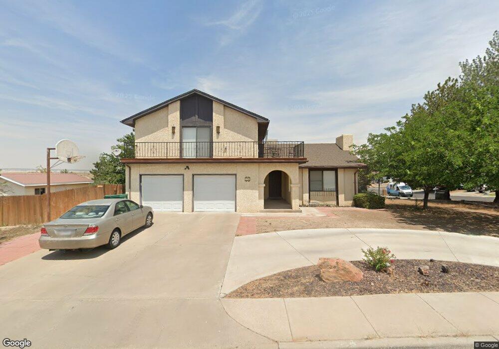
700 Ocio St Farmington, NM 87401
Estimated Value: $327,000 - $387,183
--
Bed
--
Bath
2,059
Sq Ft
$170/Sq Ft
Est. Value
About This Home
This home is located at 700 Ocio St, Farmington, NM 87401 and is currently estimated at $349,046, approximately $169 per square foot. 700 Ocio St is a home located in San Juan County with nearby schools including Ladera Del Norte Elementary School, Hermosa Middle School, and Farmington High School.
Ownership History
Date
Name
Owned For
Owner Type
Purchase Details
Closed on
Aug 26, 2022
Sold by
Jumpinjohn53 Llc
Bought by
Cabrera Whitney
Current Estimated Value
Home Financials for this Owner
Home Financials are based on the most recent Mortgage that was taken out on this home.
Original Mortgage
$315,595
Outstanding Balance
$302,131
Interest Rate
5.51%
Mortgage Type
VA
Estimated Equity
$46,915
Purchase Details
Closed on
Apr 26, 2022
Sold by
Grandjean Jules
Bought by
Puesta Del Sol Subdivision No 5
Purchase Details
Closed on
Aug 13, 2015
Sold by
Boccaccio John P
Bought by
Tabet James S and Revoca Natelie D Tabet
Purchase Details
Closed on
May 25, 2005
Sold by
Jantz Tim and Jantz Tami
Bought by
Edgerton Eric and Edgerton Amanda
Create a Home Valuation Report for This Property
The Home Valuation Report is an in-depth analysis detailing your home's value as well as a comparison with similar homes in the area
Home Values in the Area
Average Home Value in this Area
Purchase History
| Date | Buyer | Sale Price | Title Company |
|---|---|---|---|
| Cabrera Whitney | $309,283 | None Listed On Document | |
| Puesta Del Sol Subdivision No 5 | $180,709 | None Listed On Document | |
| Tabet James S | -- | None Available | |
| Edgerton Eric | -- | None Available |
Source: Public Records
Mortgage History
| Date | Status | Borrower | Loan Amount |
|---|---|---|---|
| Open | Cabrera Whitney | $315,595 |
Source: Public Records
Tax History Compared to Growth
Tax History
| Year | Tax Paid | Tax Assessment Tax Assessment Total Assessment is a certain percentage of the fair market value that is determined by local assessors to be the total taxable value of land and additions on the property. | Land | Improvement |
|---|---|---|---|---|
| 2024 | $2,410 | $101,385 | $0 | $0 |
| 2023 | $2,410 | $111,597 | $0 | $0 |
| 2022 | $1,740 | $78,387 | $0 | $0 |
| 2021 | $1,672 | $76,103 | $0 | $0 |
| 2020 | $1,615 | $73,887 | $0 | $0 |
| 2019 | $1,555 | $71,735 | $0 | $0 |
| 2018 | $1,480 | $67,618 | $0 | $0 |
| 2017 | $1,413 | $65,648 | $0 | $0 |
| 2016 | $1,362 | $63,736 | $0 | $0 |
| 2015 | $1,339 | $63,736 | $0 | $0 |
| 2014 | $1,254 | $60,077 | $0 | $0 |
Source: Public Records
Map
Nearby Homes
- 3108 N Mesa Dr
- 3104 N Western Ave
- 2413 N Municipal Dr
- 816 Santa Barbara Dr
- LOT 4 XX W 24th St
- 3105 N Sunset Ave
- 3110 N Sunset Ave
- 212 W 25th St
- 3003 Northwood Cir
- XX W 35th St
- 200 W 24th St
- 2900 Northwood Dr
- 2906 Northwood Dr
- 2412 Pheasant Place
- 212 W Sunset Place
- 3800 N Sunset Ave
- 1805 Brenwood Dr
- 636 Ridge Lea Ct
- 195 McDonald Rd
- XX Brookside Dr