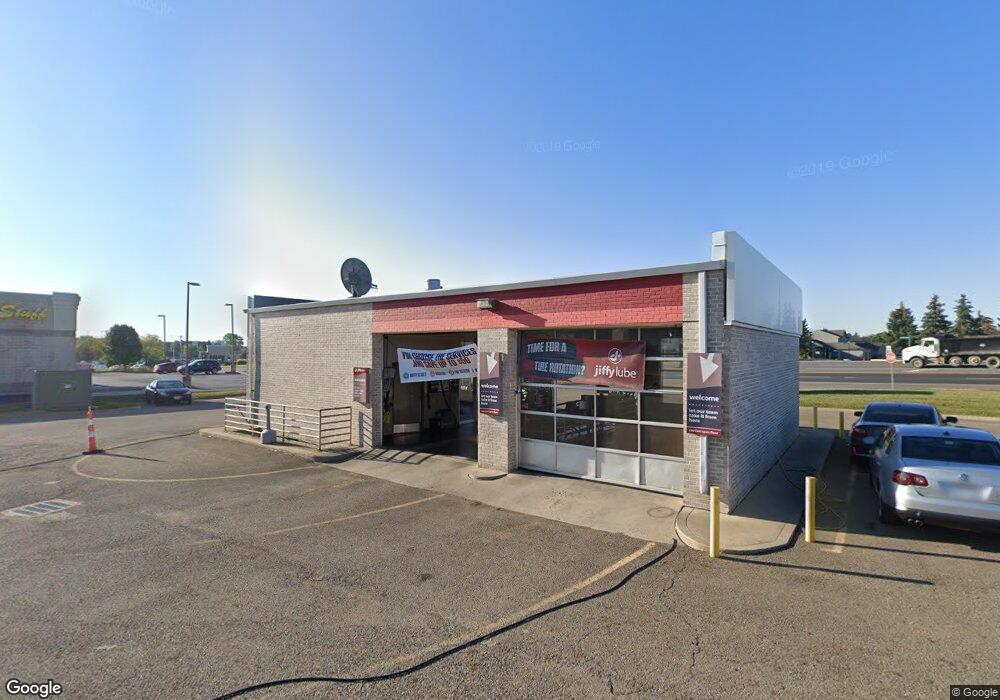
700 Polaris Pkwy Lewis Center, OH 43035
Wynstone NeighborhoodEstimated Value: $1,867,845
--
Bed
--
Bath
1,560
Sq Ft
$1,197/Sq Ft
Est. Value
About This Home
This home is located at 700 Polaris Pkwy, Lewis Center, OH 43035 and is currently estimated at $1,867,845, approximately $1,197 per square foot. 700 Polaris Pkwy is a home located in Delaware County with nearby schools including Oak Creek Elementary School, Olentangy Orange Middle School, and Orange High School.
Ownership History
Date
Name
Owned For
Owner Type
Purchase Details
Closed on
Jan 5, 2022
Sold by
Bona Commercial Properties Ltd
Bought by
Oakland Realty Inc
Current Estimated Value
Purchase Details
Closed on
Dec 29, 2021
Sold by
Bona Commercial Properties Ltd
Bought by
Oakland Realty Inc
Purchase Details
Closed on
Sep 15, 2004
Sold by
S-J Investments Llc
Bought by
Crest Net Lease Inc
Create a Home Valuation Report for This Property
The Home Valuation Report is an in-depth analysis detailing your home's value as well as a comparison with similar homes in the area
Home Values in the Area
Average Home Value in this Area
Purchase History
| Date | Buyer | Sale Price | Title Company |
|---|---|---|---|
| Oakland Realty Inc | $1,531,500 | Stewart Title | |
| Oakland Realty Inc | $1,531,500 | Stewart Title Box | |
| Crest Net Lease Inc | -- | -- |
Source: Public Records
Tax History Compared to Growth
Tax History
| Year | Tax Paid | Tax Assessment Tax Assessment Total Assessment is a certain percentage of the fair market value that is determined by local assessors to be the total taxable value of land and additions on the property. | Land | Improvement |
|---|---|---|---|---|
| 2024 | $37,722 | $563,680 | $372,860 | $190,820 |
| 2023 | $38,257 | $563,680 | $372,860 | $190,820 |
| 2022 | $42,823 | $558,250 | $330,050 | $228,200 |
| 2021 | $42,995 | $558,250 | $330,050 | $228,200 |
| 2020 | $43,389 | $558,250 | $330,050 | $228,200 |
| 2019 | $39,508 | $558,250 | $330,050 | $228,200 |
| 2018 | $39,621 | $558,250 | $330,050 | $228,200 |
| 2017 | $38,736 | $558,250 | $330,050 | $228,200 |
| 2016 | $39,834 | $558,250 | $330,050 | $228,200 |
| 2015 | $25,283 | $394,800 | $330,050 | $64,750 |
| 2014 | -- | $394,800 | $330,050 | $64,750 |
| 2013 | $26,165 | $394,800 | $330,050 | $64,750 |
Source: Public Records
Map
Nearby Homes
- 758 Parkgrove Way Unit 758
- 9170 Parkbury Ln
- 738 Parkbluff Way Unit 738
- 9123 Parkbury Ln Unit 9123
- 8910 Sedona Ct
- 9002 Newmills Ln
- 8749 Paulden Ct
- 687 Sanville Dr
- 975 Adara Dr Unit 6975
- 1520 Aniko Ave
- 1143 Little Bear Place
- 1746 E Powell Rd
- 1245 Little Bear Loop
- 8322 Aurora Ct
- 8747 Olenbrook Dr
- 8824 Rock Dove Rd
- 1923 Myrtle St
- 45 Gold Meadow Dr
- 8749 Olenmead Dr
- 294 Lazelle Place Ln Unit Q294
- 720 Polaris Pkwy
- 724 Polaris Pkwy
- 1301 Cameron Ave
- 1311 Cameron Ave
- 702 Parkgrove Way
- 700 Parkgrove Way Unit 700
- 704 Parkgrove Way Unit 704
- 706 Parkgrove Way Unit 706
- 708 Parkgrove Way
- 680 Parkhurst Dr Unit 1A680
- 682 Parkhurst Dr Unit 682
- 684 Parkhurst Dr
- 686 Parkhurst Dr
- 688 Parkhurst Dr Unit 688
- 722 Parkgrove Way Unit 722
- 724 Parkgrove Way
- 726 Parkgrove Way
- 728 Parkgrove Way
- 9158 Parkpoint Ln Unit 9158
- 9160 Parkpoint Ln Unit 9160