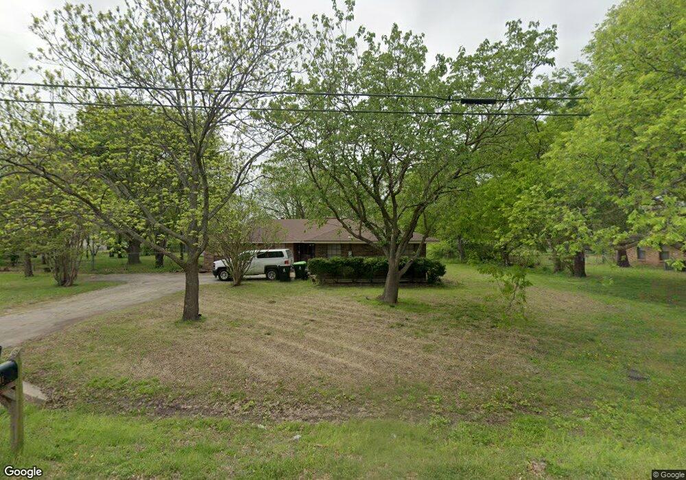
700 S Jefferson St Pilot Point, TX 76258
Estimated Value: $267,000 - $307,414
3
Beds
2
Baths
1,707
Sq Ft
$173/Sq Ft
Est. Value
About This Home
This home is located at 700 S Jefferson St, Pilot Point, TX 76258 and is currently estimated at $294,854, approximately $172 per square foot. 700 S Jefferson St is a home located in Denton County with nearby schools including Pilot Point Early Childhood Center, Pilot Point Elementary School, and Pilot Point Middle School.
Ownership History
Date
Name
Owned For
Owner Type
Purchase Details
Closed on
Apr 11, 2006
Sold by
Miller Smith Cynthia and Estate Of Carl John Raffel
Bought by
Boswell Levi K
Current Estimated Value
Home Financials for this Owner
Home Financials are based on the most recent Mortgage that was taken out on this home.
Original Mortgage
$102,400
Outstanding Balance
$57,715
Interest Rate
6.22%
Mortgage Type
Fannie Mae Freddie Mac
Estimated Equity
$237,139
Purchase Details
Closed on
Mar 18, 1994
Sold by
Todd Layna and Jaresh Layna Todd
Bought by
Raffel Carl and Raffel Mary
Create a Home Valuation Report for This Property
The Home Valuation Report is an in-depth analysis detailing your home's value as well as a comparison with similar homes in the area
Home Values in the Area
Average Home Value in this Area
Purchase History
| Date | Buyer | Sale Price | Title Company |
|---|---|---|---|
| Boswell Levi K | -- | Title Resources | |
| Raffel Carl | -- | -- | |
| Raffel Carl | -- | -- |
Source: Public Records
Mortgage History
| Date | Status | Borrower | Loan Amount |
|---|---|---|---|
| Open | Boswell Levi K | $102,400 |
Source: Public Records
Tax History
| Year | Tax Paid | Tax Assessment Tax Assessment Total Assessment is a certain percentage of the fair market value that is determined by local assessors to be the total taxable value of land and additions on the property. | Land | Improvement |
|---|---|---|---|---|
| 2025 | $4,102 | $249,161 | $106,325 | $142,836 |
| 2024 | $5,137 | $285,375 | $106,325 | $179,050 |
| 2023 | $3,807 | $260,411 | $106,325 | $189,259 |
| 2022 | $4,886 | $237,621 | $86,635 | $153,093 |
| 2021 | $4,457 | $223,471 | $86,635 | $136,836 |
| 2020 | $4,152 | $199,845 | $42,530 | $157,315 |
| 2019 | $3,938 | $183,807 | $42,530 | $158,164 |
| 2018 | $3,632 | $167,419 | $38,592 | $146,243 |
| 2017 | $3,315 | $152,368 | $36,229 | $128,059 |
| 2016 | $3,022 | $138,907 | $28,692 | $118,976 |
| 2015 | -- | $125,767 | $28,692 | $97,107 |
| 2013 | -- | $104,317 | $34,939 | $80,254 |
Source: Public Records
Map
Nearby Homes
- 516 S Church St
- TBD W Clifton St
- 508 S Pedigo St
- 400 S Washington St
- 405 W Clifton St
- 2431 Poinsettia Dr
- 2437 Poinsettia Dr
- 827 Snowdrop Dr
- 834 Snowdrop Dr
- 826 Snowdrop Dr
- 1001 S Highway 377
- 1001 U S 377
- 111 E Liberty St
- 504 S Kirby St
- SS Massey & W Aubrey St
- 106 W Main St
- 326 W Liberty St
- 400 E Liberty St
- 515 E Liberty St
- 408 E Liberty St
- 712 S Jefferson St
- 612 S Jefferson St
- 705 S Jefferson St
- 627 S Jefferson St
- 709 S Washington St
- 110 Key St
- 619 S Jefferson St
- 711 S Jefferson St
- 621 S Washington St
- 611 S Jefferson St
- 717 S Washington St
- 615 S Washington St
- 717 S Jefferson St
- 704 S Church St
- 107 Key St
- 101 W Mckinney St
- 620 S Church St
- 710 S Church St
- 609 S Jefferson St
- 609 S Washington St
Your Personal Tour Guide
Ask me questions while you tour the home.