Estimated Value: $300,000 - $343,000
3
Beds
2
Baths
1,390
Sq Ft
$234/Sq Ft
Est. Value
About This Home
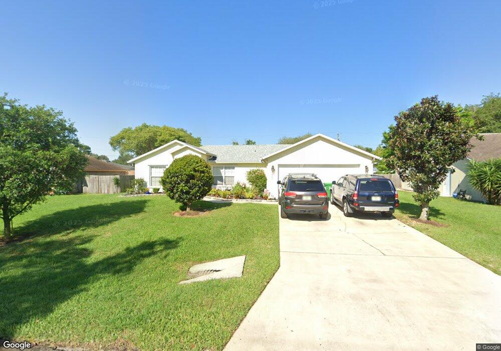
This home is located at 7000 Cairo Rd, Cocoa, FL 32927 and is currently estimated at $325,927, approximately $234 per square foot. 7000 Cairo Rd is a home located in Brevard County with nearby schools including Enterprise Elementary School, Space Coast Junior/Senior High School, and Sculptor Charter School.
Ownership History
Date
Name
Owned For
Owner Type
Purchase Details
Closed on
Oct 15, 2013
Sold by
Owens Danny
Bought by
Owens Danny and Owens Mary Anne
Current Estimated Value
Purchase Details
Closed on
Dec 26, 2000
Sold by
Owens Carless and Owens Faye A
Bought by
Owens Danny
Purchase Details
Closed on
Jun 7, 2000
Sold by
Holiday Bldr Inc
Bought by
Owens Carless and Owens Faye A
Home Financials for this Owner
Home Financials are based on the most recent Mortgage that was taken out on this home.
Original Mortgage
$73,400
Interest Rate
8.11%
Purchase Details
Closed on
Jan 4, 2000
Sold by
Dunlap Charles W
Bought by
Holiday Bldr Inc
Create a Home Valuation Report for This Property
The Home Valuation Report is an in-depth analysis detailing your home's value as well as a comparison with similar homes in the area
Home Values in the Area
Average Home Value in this Area
Purchase History
| Date | Buyer | Sale Price | Title Company |
|---|---|---|---|
| Owens Danny | $62,500 | Attorney | |
| Owens Danny | $73,200 | -- | |
| Owens Carless | $79,800 | -- | |
| Holiday Bldr Inc | $7,500 | -- |
Source: Public Records
Mortgage History
| Date | Status | Borrower | Loan Amount |
|---|---|---|---|
| Previous Owner | Owens Carless | $73,400 |
Source: Public Records
Tax History
| Year | Tax Paid | Tax Assessment Tax Assessment Total Assessment is a certain percentage of the fair market value that is determined by local assessors to be the total taxable value of land and additions on the property. | Land | Improvement |
|---|---|---|---|---|
| 2025 | $1,450 | $110,940 | -- | -- |
| 2024 | $1,414 | $107,820 | -- | -- |
| 2023 | $1,414 | $104,680 | $0 | $0 |
| 2022 | $1,317 | $101,640 | $0 | $0 |
| 2021 | $1,318 | $98,680 | $0 | $0 |
| 2020 | $1,269 | $97,320 | $0 | $0 |
| 2019 | $1,206 | $95,140 | $0 | $0 |
| 2018 | $1,200 | $93,370 | $0 | $0 |
| 2017 | $1,195 | $91,450 | $0 | $0 |
| 2016 | $1,197 | $89,570 | $18,000 | $71,570 |
| 2015 | $1,212 | $88,950 | $15,000 | $73,950 |
| 2014 | $1,213 | $88,250 | $11,000 | $77,250 |
Source: Public Records
Map
Nearby Homes
- 6990 Bryant Rd
- 7065 Hundred Acre Dr
- 5165 Patricia St
- 5155 Mayflower St
- 7230 Venus Ave
- 6815 Bryant Rd
- 5555 Brandon St
- 5080 Mayflower St
- 6760 Cairo Rd
- 5200 Frisco St
- 7635 Fringe Place
- 7200 Oakwood Ave
- 5150 Melody St
- 7155 Export Ave
- 7545 Fringe Place
- 7275 Durban Ave
- 5095 Hogan Place
- 6615 Dock Ave
- 7310 Joshua Place
- 7419 Hackberry Rd
Your Personal Tour Guide
Ask me questions while you tour the home.