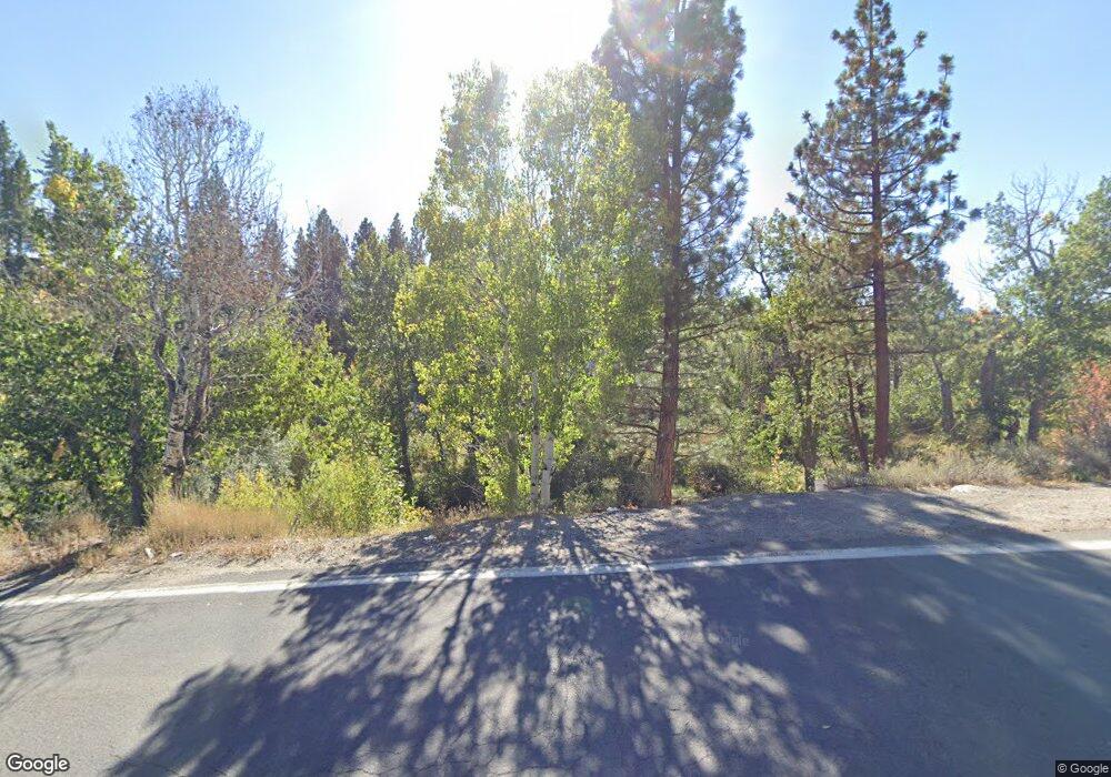
7000 Usfs 040 Rd Markleeville, CA 96120
Estimated Value: $441,000 - $500,000
3
Beds
3
Baths
3,981
Sq Ft
$120/Sq Ft
Est. Value
About This Home
This home is located at 7000 Usfs 040 Rd, Markleeville, CA 96120 and is currently estimated at $477,757, approximately $120 per square foot. 7000 Usfs 040 Rd is a home located in Alpine County with nearby schools including Diamond Valley Elementary School, Bear Valley Elementary, and Alpine County Secondary Community Day School.
Ownership History
Date
Name
Owned For
Owner Type
Purchase Details
Closed on
Oct 29, 2024
Sold by
Helmer John
Bought by
Santullo Family Trust and Santullo
Current Estimated Value
Purchase Details
Closed on
Nov 14, 2022
Sold by
Larkin Trust
Bought by
Helmer John
Home Financials for this Owner
Home Financials are based on the most recent Mortgage that was taken out on this home.
Original Mortgage
$240,000
Interest Rate
6.94%
Mortgage Type
Seller Take Back
Purchase Details
Closed on
Apr 25, 2018
Sold by
Busey Gregory James and Blumer Busey Margaret Ellis
Bought by
Larkin Daniel and Larkin Arlene
Purchase Details
Closed on
Oct 4, 2006
Sold by
Dean Mckinley Family Trust
Bought by
Busey Gregory James and Blumer Busey Margaret Ellis
Create a Home Valuation Report for This Property
The Home Valuation Report is an in-depth analysis detailing your home's value as well as a comparison with similar homes in the area
Home Values in the Area
Average Home Value in this Area
Purchase History
| Date | Buyer | Sale Price | Title Company |
|---|---|---|---|
| Santullo Family Trust | $475,000 | Old Republic Title | |
| Helmer John | $360,000 | Orange Coast Title | |
| Larkin Daniel | $540,000 | Placer Title Co | |
| Busey Gregory James | $250,000 | First American Title Company | |
| Benjamin Stuart | -- | First American Title Co |
Source: Public Records
Mortgage History
| Date | Status | Borrower | Loan Amount |
|---|---|---|---|
| Previous Owner | Helmer John | $240,000 |
Source: Public Records
Tax History Compared to Growth
Tax History
| Year | Tax Paid | Tax Assessment Tax Assessment Total Assessment is a certain percentage of the fair market value that is determined by local assessors to be the total taxable value of land and additions on the property. | Land | Improvement |
|---|---|---|---|---|
| 2025 | $3,783 | $475,000 | $275,000 | $200,000 |
| 2024 | $3,709 | $367,200 | $163,200 | $204,000 |
| 2023 | $3,709 | $360,000 | $160,000 | $200,000 |
| 2022 | $3,756 | $364,546 | $107,219 | $257,327 |
| 2021 | $3,682 | $357,399 | $105,117 | $252,282 |
| 2020 | $3,643 | $353,736 | $104,040 | $249,696 |
| 2019 | $5,269 | $346,800 | $102,000 | $244,800 |
| 2018 | $5,269 | $526,939 | $294,375 | $232,564 |
| 2017 | $4,050 | $405,000 | $200,000 | $205,000 |
| 2016 | $3,600 | $360,000 | $170,000 | $190,000 |
| 2015 | -- | $360,000 | $170,000 | $190,000 |
| 2014 | -- | $360,000 | $170,000 | $190,000 |
Source: Public Records
Map
Nearby Homes
- 901 Emigrant Trail
- 2020 Emigrant Trail
- Lot 5 Sunrise Trail
- 0 0 Emigrant # 2 Trail
- 15740 State Route 89
- 201 Shay Creek Rd
- 499 Shay Creek Rd
- 295 Hawkins Peak Rd
- Lot 10 Hawkins Peak Rd
- 115 Chambers Ln
- Lot 2 Raymond View
- 2 Raymond View Rd
- 66 Pleasant Valley Rd
- 100 Timber Ln
- 50 Pinon Rd
- 270 Timber Ln
- 235 Montgomery St
- 50 Canon View
- 160 Laramie St
- 555 Pleasant Valley Rd
- 300 Blue Lakes Rd
- 755 Columbine
- 0 Blue Lakes Rd Unit 90068534
- 0 Usfs Rd 040 Rd Unit 14045864
- 0 Usfs Rd 040 Rd Unit 17054892
- Hwy 89 80 Acres
- 130 Pinion Rd
- Manchester Mine Parcel#03-090-005-0
- 712 02-260-006-0 007-0
- TBD Sunrise Trail
- Lot 13 Sunrise Trail
- #7 Trail Dust Estates
- Monitor Pa Apn#030900050
- #5 Hawkins Peak Rd
- APN 01-060-001-0-0
- 030900050 Monitor Pass
- APN Leviathan Mine
- Lot 16 Raymond View Rd Unit 16
- APN 002-110-0230 Hwy 88
- Highway 88 Apn#0011000040
