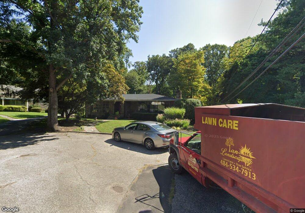
7001 Brentwood Rd Philadelphia, PA 19151
Overbrook NeighborhoodEstimated Value: $536,000 - $618,483
--
Bed
--
Bath
2,140
Sq Ft
$268/Sq Ft
Est. Value
About This Home
This home is located at 7001 Brentwood Rd, Philadelphia, PA 19151 and is currently estimated at $574,371, approximately $268 per square foot. 7001 Brentwood Rd is a home located in Philadelphia County with nearby schools including Lamberton Robert E School, Overbrook High School, and Ad Prima Charter School.
Ownership History
Date
Name
Owned For
Owner Type
Purchase Details
Closed on
Oct 26, 2007
Sold by
Bevenour Aileen
Bought by
Hart William E and Hart Lynne S
Current Estimated Value
Home Financials for this Owner
Home Financials are based on the most recent Mortgage that was taken out on this home.
Original Mortgage
$347,500
Outstanding Balance
$217,975
Interest Rate
6.39%
Mortgage Type
Purchase Money Mortgage
Estimated Equity
$356,396
Create a Home Valuation Report for This Property
The Home Valuation Report is an in-depth analysis detailing your home's value as well as a comparison with similar homes in the area
Home Values in the Area
Average Home Value in this Area
Purchase History
| Date | Buyer | Sale Price | Title Company |
|---|---|---|---|
| Hart William E | $437,500 | None Available |
Source: Public Records
Mortgage History
| Date | Status | Borrower | Loan Amount |
|---|---|---|---|
| Open | Hart William E | $347,500 |
Source: Public Records
Tax History Compared to Growth
Tax History
| Year | Tax Paid | Tax Assessment Tax Assessment Total Assessment is a certain percentage of the fair market value that is determined by local assessors to be the total taxable value of land and additions on the property. | Land | Improvement |
|---|---|---|---|---|
| 2026 | $4,852 | $480,000 | $96,000 | $384,000 |
| 2025 | $4,852 | $592,200 | $118,440 | $473,760 |
| 2024 | $4,852 | $592,200 | $118,440 | $473,760 |
| 2023 | $4,852 | $346,600 | $69,320 | $277,280 |
| 2022 | $4,222 | $301,600 | $69,320 | $232,280 |
| 2021 | $4,852 | $0 | $0 | $0 |
| 2020 | $4,852 | $0 | $0 | $0 |
| 2019 | $7,787 | $0 | $0 | $0 |
| 2018 | $5,165 | $0 | $0 | $0 |
| 2017 | $5,585 | $0 | $0 | $0 |
| 2016 | $5,165 | $0 | $0 | $0 |
| 2015 | $4,496 | $0 | $0 | $0 |
| 2014 | -- | $399,000 | $340,180 | $58,820 |
| 2012 | -- | $47,488 | $21,246 | $26,242 |
Source: Public Records
Map
Nearby Homes
- 1721 N 72nd St
- 7102 City Ave
- 1843-45 N 72nd St
- 1001 EC808 City Ave
- 1001 City Ave Unit EE1026
- 1001 City Ave Unit W-811
- 1001 City Ave Unit EE-927
- 1001 City Ave Unit W-617
- 1001 City Ave Unit EC206
- 1001 City Ave Unit W-801
- 1001 City Ave Unit E-1107
- 1001 City Ave Unit EC107
- 1001 City Ave Unit W-1004
- 1001 City Ave Unit E-223
- 1001 City Ave Unit E-726
- 1001 City Ave Unit W-106
- 1001 City Ave Unit W-405
- 1001 City Ave Unit EC-1106
- 1001 City Ave Unit W-404
- 1001 City Ave Unit ED715
- 7003 Brentwood Rd
- 7000 Woodbine Ave
- 7005 Brentwood Rd
- 7007 Brentwood Rd
- 7009 Brentwood Rd
- 7002 Woodbine Ave
- 7013 Brentwood Rd
- 6952 Sherwood Rd
- 6946 Sherwood Rd
- 6958 Sherwood Rd
- 6940 Sherwood Rd
- 7000 Sherwood Rd
- 7000 Brentwood Rd
- 7006 Sherwood Rd
- 7017 Brentwood Rd
- 7012 Sherwood Rd
- 7004 Woodbine Ave
- 7018 Sherwood Rd
- 7006 Brentwood Rd
- 7005 Woodbine Ave