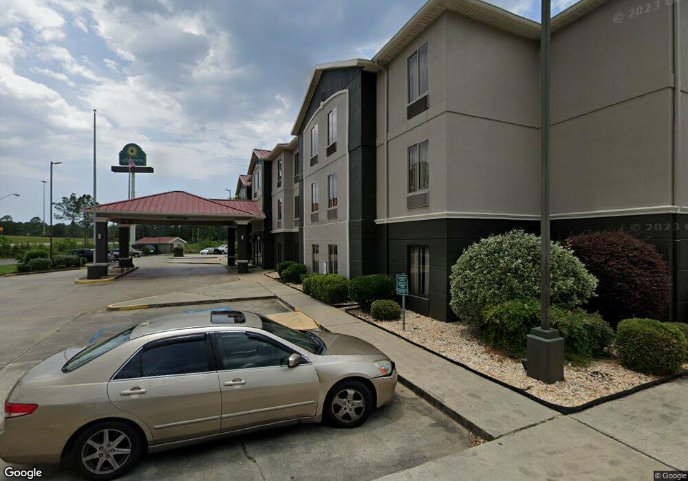
7001 Highway 63 Moss Point, MS 39563
Estimated Value: $3,788,075
--
Bed
--
Bath
34,026
Sq Ft
$111/Sq Ft
Est. Value
About This Home
This home is located at 7001 Highway 63, Moss Point, MS 39563 and is currently priced at $3,788,075, approximately $111 per square foot. 7001 Highway 63 is a home located in Jackson County with nearby schools including Kreole Primary Elementary School, Escatawpa Upper Elementary School, and Magnolia Middle School.
Ownership History
Date
Name
Owned For
Owner Type
Purchase Details
Closed on
May 10, 2019
Sold by
Snehdip Llc
Bought by
Kdkp Llc
Current Estimated Value
Home Financials for this Owner
Home Financials are based on the most recent Mortgage that was taken out on this home.
Original Mortgage
$2,000,000
Outstanding Balance
$1,667,917
Interest Rate
4.1%
Mortgage Type
Stand Alone Refi Refinance Of Original Loan
Create a Home Valuation Report for This Property
The Home Valuation Report is an in-depth analysis detailing your home's value as well as a comparison with similar homes in the area
Home Values in the Area
Average Home Value in this Area
Purchase History
| Date | Buyer | Sale Price | Title Company |
|---|---|---|---|
| Kdkp Llc | -- | -- |
Source: Public Records
Mortgage History
| Date | Status | Borrower | Loan Amount |
|---|---|---|---|
| Open | Kdkp Llc | $2,000,000 |
Source: Public Records
Tax History Compared to Growth
Tax History
| Year | Tax Paid | Tax Assessment Tax Assessment Total Assessment is a certain percentage of the fair market value that is determined by local assessors to be the total taxable value of land and additions on the property. | Land | Improvement |
|---|---|---|---|---|
| 2024 | $39,653 | $230,959 | $42,396 | $188,563 |
| 2023 | $39,653 | $230,959 | $42,396 | $188,563 |
| 2022 | $37,709 | $230,959 | $42,396 | $188,563 |
| 2021 | $45,557 | $278,891 | $42,396 | $236,495 |
| 2020 | $30,423 | $184,659 | $42,396 | $142,263 |
| 2019 | $30,350 | $184,659 | $42,396 | $142,263 |
| 2018 | $30,350 | $184,659 | $42,396 | $142,263 |
| 2017 | $30,238 | $184,659 | $42,396 | $142,263 |
| 2016 | $9,486 | $184,659 | $42,396 | $142,263 |
| 2015 | $8,906 | $1,155,800 | $282,640 | $873,160 |
| 2014 | $9,138 | $177,896 | $42,396 | $135,500 |
| 2013 | $9,138 | $177,896 | $42,396 | $135,500 |
Source: Public Records
Map
Nearby Homes
- 0 Interstate 10
- 0 Tanner St Unit 4106008
- 7116 Elder Ferry Rd
- 4319 Adcock St
- 7208 Elder Ferry Rd
- 7316 Elder Ferry Rd
- 5002 Frison Ave
- 4437 Brentz Ln
- 7621 Elder Ferry Rd
- 40.2 Elder Ferry Rd
- 6924 Barnes Rd
- 6908 Barnes Rd
- 0 Hwy 613 Hwy Unit 4127039
- 0 Hwy 613 Hwy Unit 4129036
- 3916 Dutch Bayou Rd
- 3712 Dale Ln
- 0 Frank Griffin Rd
- 5818 Elder Ferry Rd
- 0 Downing Ave
- 3521 Dale Ln
- 4712 Bush Ave
- 4709 Bush Ave
- 4708 Bush Ave
- 4705 Bush Ave
- 4704 Bush Ave
- 6900 Elder Ferry Rd
- 7016 Elder
- 6912 Elder Ferry Rd
- 11.47 AC 11 47 Ac Highway 63
- 6816 Elder Ferry Rd
- 7105 Highway 63
- 0 Tanner Ln Unit 3314567
- 6909 Elder Ferry Rd
- 6901 Elder Ferry Rd
- 7016 Elder Ferry Rd
- 4617 Surrey St
- 7001 Elder Ferry Rd
- 7005 Elder Ferry Rd
- 6908 Andover St
- 6708 Elder Ferry Rd