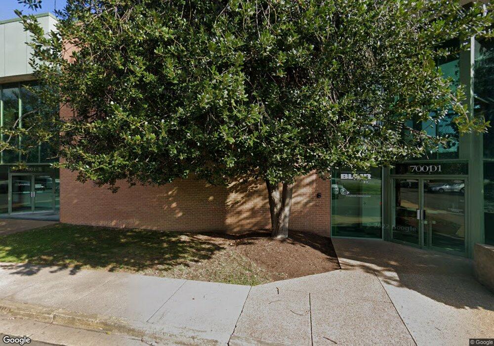
7001 Loisdale Rd Springfield, VA 22150
Springtown Neighborhood
Studio
--
Bath
113,224
Sq Ft
192,230
Sq Ft
About This Home
This home is located at 7001 Loisdale Rd, Springfield, VA 22150. 7001 Loisdale Rd is a home located in Fairfax County with nearby schools including Forestdale Elementary School, Key Middle, and Lewis High School.
Ownership History
Date
Name
Owned For
Owner Type
Purchase Details
Closed on
Apr 27, 2023
Sold by
Sansaba Land And Livestock Company Llc
Bought by
Parkside Terrace Apartments Limited Partnersh
Home Financials for this Owner
Home Financials are based on the most recent Mortgage that was taken out on this home.
Original Mortgage
$4,000,000
Outstanding Balance
$3,892,965
Interest Rate
6.6%
Mortgage Type
New Conventional
Purchase Details
Closed on
Mar 13, 2000
Sold by
Sansaba Land Livestock L
Bought by
Commonwealth Of Virginia
Purchase Details
Closed on
Oct 7, 1994
Sold by
Etronics Log
Bought by
San Saba Ld & Lvstck Llc
Home Financials for this Owner
Home Financials are based on the most recent Mortgage that was taken out on this home.
Original Mortgage
$2,347,200
Interest Rate
8.55%
Mortgage Type
Commercial
Create a Home Valuation Report for This Property
The Home Valuation Report is an in-depth analysis detailing your home's value as well as a comparison with similar homes in the area
Home Values in the Area
Average Home Value in this Area
Purchase History
| Date | Buyer | Sale Price | Title Company |
|---|---|---|---|
| Parkside Terrace Apartments Limited Partnersh | $21,000,000 | Fidelity National Title | |
| Commonwealth Of Virginia | $13,782 | -- | |
| San Saba Ld & Lvstck Llc | $1,750,000 | -- |
Source: Public Records
Mortgage History
| Date | Status | Borrower | Loan Amount |
|---|---|---|---|
| Open | Parkside Terrace Apartments Limited Partnersh | $4,000,000 | |
| Previous Owner | San Saba Ld & Lvstck Llc | $2,347,200 |
Source: Public Records
Tax History
| Year | Tax Paid | Tax Assessment Tax Assessment Total Assessment is a certain percentage of the fair market value that is determined by local assessors to be the total taxable value of land and additions on the property. | Land | Improvement |
|---|---|---|---|---|
| 2025 | $128,281 | $9,917,070 | $2,114,740 | $7,802,330 |
| 2024 | $128,281 | $9,994,660 | $2,114,740 | $7,879,920 |
| 2023 | $125,240 | $9,991,250 | $2,114,740 | $7,876,510 |
| 2022 | $130,061 | $10,253,110 | $2,114,740 | $8,138,370 |
| 2021 | $134,372 | $10,348,280 | $2,114,740 | $8,233,540 |
| 2020 | $110,601 | $8,452,530 | $2,306,990 | $6,145,540 |
| 2019 | $104,201 | $7,963,430 | $1,537,990 | $6,425,440 |
| 2018 | $98,193 | $8,538,490 | $1,537,990 | $7,000,500 |
| 2017 | $111,013 | $8,632,410 | $1,537,990 | $7,094,420 |
| 2016 | $126,221 | $9,834,110 | $1,537,990 | $8,296,120 |
| 2015 | $113,003 | $9,105,770 | $1,537,990 | $7,567,780 |
| 2014 | $106,793 | $8,622,730 | $1,537,990 | $7,084,740 |
Source: Public Records
Map
Nearby Homes
- 6816 Mayo Ct
- 6916 Ruskin St
- 6810 Mayo Ct
- 6917 Villa Del Rey Ct
- 6824 Constance Dr
- 7204 Lavender Ln
- 7219 Beverly Park Dr
- 6646 Rockleigh Way
- 6639 Rockleigh Way
- 7039 Calamo St
- 7213 Calamo St
- 7201 Barry Rd
- 7401 Loughboro Ln
- 6613 Elder Ave
- 6404 Patience Ct
- 6474 Brickleigh Ct
- 6346 Rockshire St
- 6703 Cimarron St
- 6476 Franconia Ct
- 6502 Milva Ln
- 7107 Layton Dr
- 7105 Layton Dr
- 7109 Layton Dr
- 7103 Layton Dr
- 7111 Layton Dr
- 7101 Layton Dr
- 7113 Layton Dr
- 7106 Layton Dr
- 7110 Layton Dr
- 7100 Layton Dr
- 7122 Layton Dr
- 6933 Ruskin St
- 6934 Ruskin St
- 7103 Loisdale Rd
- 7124 Layton Dr
- 7121 Layton Dr
- 6931 Ruskin St
- 6932 Ruskin St
- 7105 Loisdale Rd
- 7123 Layton Dr
Your Personal Tour Guide
Ask me questions while you tour the home.