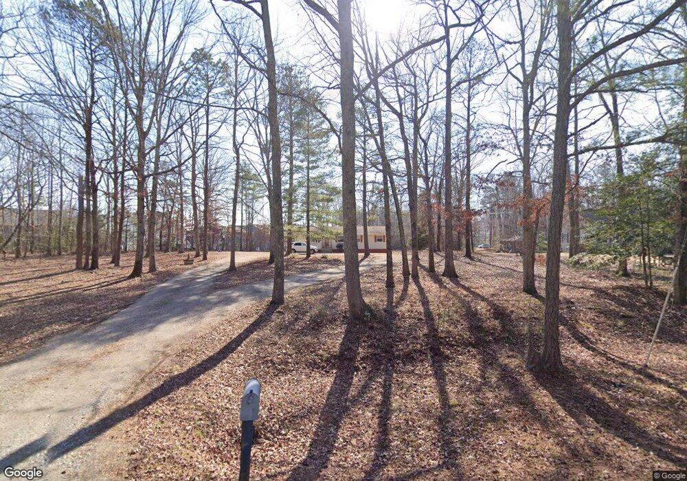
7001 Pine Fork Rd Unit A Quinton, VA 23141
4
Beds
2
Baths
1,444
Sq Ft
149,846
Sq Ft Lot
About This Home
This home is located at 7001 Pine Fork Rd Unit A, Quinton, VA 23141. 7001 Pine Fork Rd Unit A is a home located in New Kent County with nearby schools including New Kent High School.
Create a Home Valuation Report for This Property
The Home Valuation Report is an in-depth analysis detailing your home's value as well as a comparison with similar homes in the area
Home Values in the Area
Average Home Value in this Area
Tax History
| Year | Tax Paid | Tax Assessment Tax Assessment Total Assessment is a certain percentage of the fair market value that is determined by local assessors to be the total taxable value of land and additions on the property. | Land | Improvement |
|---|---|---|---|---|
| 2025 | $2,475 | $412,500 | $195,500 | $217,000 |
| 2023 | $2,164 | $323,000 | $108,900 | $214,100 |
| 2022 | $2,164 | $323,000 | $108,900 | $214,100 |
| 2021 | $2,139 | $270,800 | $84,300 | $186,500 |
| 2020 | $2,139 | $270,800 | $84,300 | $186,500 |
| 2019 | $2,163 | $263,800 | $73,500 | $190,300 |
| 2018 | $60 | $73,500 | $73,500 | $0 |
| 2017 | $0 | $0 | $0 | $0 |
Source: Public Records
Map
Nearby Homes
- 7661 Lovegrass Terrace
- 7664 Lovegrass Terrace
- 7707 Arbor Marsh Terrace
- 7995 Arbor Marsh Terrace
- 7869 Faisan Ln
- 7024 Spike Rush Ct
- 7038 Spike Rush Ct
- 7012 Spike Rush Ct
- 7713 Arbor Marsh Terrace
- 7040 Spike Rush Ct
- 7719 Arbor Marsh Terrace
- 7039 Spike Rush Ct
- 7037 Spike Rush Ct
- 7725 Arbor Marsh Terrace
- 7725 Arbor Marsh Terrace
- 7727 Arbor Marsh Terrace
- 7726 Arbor Marsh Terrace
- 7731 Arbor Marsh Terrace
- 7733 Arbor Marsh Terrace
- 7737 Arbor Marsh Terrace
- 6999 Pine Fork Rd
- 7794 Lovegrass Terrace
- 7764 Lovegrass Terrace
- 7754 Lovegrass Terrace
- 7810 Lovegrass Terrace
- 7751 Lovegrass Terrace
- 6901 Pine Fork Rd
- 7820 Lovegrass Terrace
- 7724 Lovegrass Terrace
- 7836 Lovegrass Terrace
- 7731 Lovegrass Terrace
- 7323 Fougere Place
- 7020 Pine Fork Rd
- 6900 Pine Fork Rd
- 7719 Lovegrass Terrace
- 7800 George W Watkins Rd Unit B
- 7310 Fougere Place
- 7329 Fougere Place
- 7846 Lovegrass Terrace
- 7320 Fougere Place
Your Personal Tour Guide
Ask me questions while you tour the home.