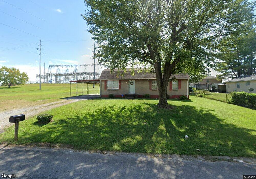
701 10th Ave E Springfield, TN 37172
Estimated Value: $186,570 - $235,000
Studio
1
Bath
1,100
Sq Ft
$191/Sq Ft
Est. Value
About This Home
This home is located at 701 10th Ave E, Springfield, TN 37172 and is currently estimated at $210,393, approximately $191 per square foot. 701 10th Ave E is a home located in Robertson County with nearby schools including Krisle Elementary School, Innovation Academy, and Springfield High School.
Ownership History
Date
Name
Owned For
Owner Type
Purchase Details
Closed on
May 19, 2000
Sold by
Bolliner James Tony
Bought by
Stone Chanda
Current Estimated Value
Purchase Details
Closed on
Nov 2, 1999
Bought by
Bolliner James Tony
Purchase Details
Closed on
Aug 31, 1999
Purchase Details
Closed on
Feb 19, 1999
Bought by
United Companies Lending Corp
Purchase Details
Closed on
Sep 22, 1970
Bought by
Petties James W
Create a Home Valuation Report for This Property
The Home Valuation Report is an in-depth analysis detailing your home's value as well as a comparison with similar homes in the area
Home Values in the Area
Average Home Value in this Area
Purchase History
| Date | Buyer | Sale Price | Title Company |
|---|---|---|---|
| Stone Chanda | $62,900 | -- | |
| Bolliner James Tony | $38,000 | -- | |
| -- | $29,200 | -- | |
| United Companies Lending Corp | $38,000 | -- | |
| Petties James W | -- | -- |
Source: Public Records
Tax History
| Year | Tax Paid | Tax Assessment Tax Assessment Total Assessment is a certain percentage of the fair market value that is determined by local assessors to be the total taxable value of land and additions on the property. | Land | Improvement |
|---|---|---|---|---|
| 2025 | -- | $44,775 | $15,000 | $29,775 |
| 2024 | -- | $44,775 | $15,000 | $29,775 |
| 2023 | $1,122 | $44,775 | $15,000 | $29,775 |
| 2022 | $702 | $19,250 | $3,450 | $15,800 |
| 2021 | $693 | $19,250 | $3,450 | $15,800 |
| 2020 | $693 | $19,000 | $3,450 | $15,550 |
| 2019 | $20,889 | $19,000 | $3,450 | $15,550 |
| 2018 | $693 | $19,000 | $3,450 | $15,550 |
| 2017 | $736 | $17,175 | $3,950 | $13,225 |
| 2016 | $736 | $17,175 | $3,950 | $13,225 |
| 2015 | $714 | $17,175 | $3,950 | $13,225 |
| 2014 | $714 | $17,175 | $3,950 | $13,225 |
Source: Public Records
Map
Nearby Homes
Your Personal Tour Guide
Ask me questions while you tour the home.