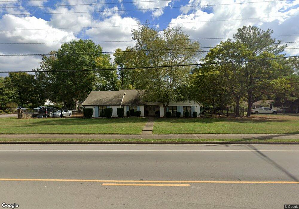
701 Cason Ln Murfreesboro, TN 37128
Estimated Value: $428,600 - $508,000
--
Bed
3
Baths
2,629
Sq Ft
$175/Sq Ft
Est. Value
About This Home
This home is located at 701 Cason Ln, Murfreesboro, TN 37128 and is currently estimated at $460,650, approximately $175 per square foot. 701 Cason Ln is a home located in Rutherford County with nearby schools including Cason Lane Academy, Rockvale Middle School, and Rockvale High School.
Ownership History
Date
Name
Owned For
Owner Type
Purchase Details
Closed on
May 30, 2006
Sold by
Forgette Mary L
Bought by
Reginald Cain
Current Estimated Value
Home Financials for this Owner
Home Financials are based on the most recent Mortgage that was taken out on this home.
Original Mortgage
$188,411
Outstanding Balance
$109,805
Interest Rate
6.51%
Mortgage Type
Purchase Money Mortgage
Estimated Equity
$350,845
Create a Home Valuation Report for This Property
The Home Valuation Report is an in-depth analysis detailing your home's value as well as a comparison with similar homes in the area
Home Values in the Area
Average Home Value in this Area
Purchase History
| Date | Buyer | Sale Price | Title Company |
|---|---|---|---|
| Reginald Cain | $189,900 | -- |
Source: Public Records
Mortgage History
| Date | Status | Borrower | Loan Amount |
|---|---|---|---|
| Open | Reginald Cain | $188,411 |
Source: Public Records
Tax History Compared to Growth
Tax History
| Year | Tax Paid | Tax Assessment Tax Assessment Total Assessment is a certain percentage of the fair market value that is determined by local assessors to be the total taxable value of land and additions on the property. | Land | Improvement |
|---|---|---|---|---|
| 2025 | $2,625 | $92,800 | $13,750 | $79,050 |
| 2024 | $2,625 | $92,800 | $13,750 | $79,050 |
| 2023 | $1,741 | $92,800 | $13,750 | $79,050 |
| 2022 | $1,500 | $92,800 | $13,750 | $79,050 |
| 2021 | $1,426 | $64,250 | $11,250 | $53,000 |
| 2020 | $1,426 | $64,250 | $11,250 | $53,000 |
| 2019 | $1,426 | $64,250 | $11,250 | $53,000 |
| 2018 | $1,959 | $64,250 | $0 | $0 |
| 2017 | $2,019 | $51,950 | $0 | $0 |
| 2016 | $2,019 | $51,950 | $0 | $0 |
| 2015 | $2,019 | $51,950 | $0 | $0 |
| 2014 | $1,292 | $51,950 | $0 | $0 |
| 2013 | -- | $42,850 | $0 | $0 |
Source: Public Records
Map
Nearby Homes
- 627 Tidesridge Ct
- 647 Stonetrace Dr
- 725 Stonetrace Dr
- 2905 Stonehedge Dr
- 539 River Rock Blvd
- 2940 Waywood Dr
- 2123 River Chase Dr
- 2113 River Chase Dr
- 2121 River Chase Dr
- 1518 Saint Andrews Dr
- 1111 Thomas Johns Ct
- 2018 Queenie Johns Dr
- 2022 Queenie Johns Dr
- 2026 Queenie Johns Dr
- 2038 Queenie Johns Dr
- 2046 Queenie Johns Dr
- 1421 Rebecca Johns Dr
- 1442 Rebecca Johns Dr Unit V20
- 3315 Alta Ln
- 2040 Grace Johns Cir
- 705 Cason Ln
- 2701 Racquet Club Dr
- 613 Cason Ln
- 2706 Spaulding Cir
- 638 Cason Ln
- 634 Cason Ln
- 2702 Racquet Club Dr
- 642 Cason Ln
- 630 Cason Ln
- 709 Cason Ln
- 2710 Spaulding Cir
- 609 Cason Ln
- 2626 Spaulding Cir
- 619 Tidesridge Ct
- 623 Tidesridge Ct
- 626 Cason Ln
- 615 Tidesridge Ct
- 2609 Racquet Club Dr
- 702 Cason Ln
- 611 Tidesridge Ct