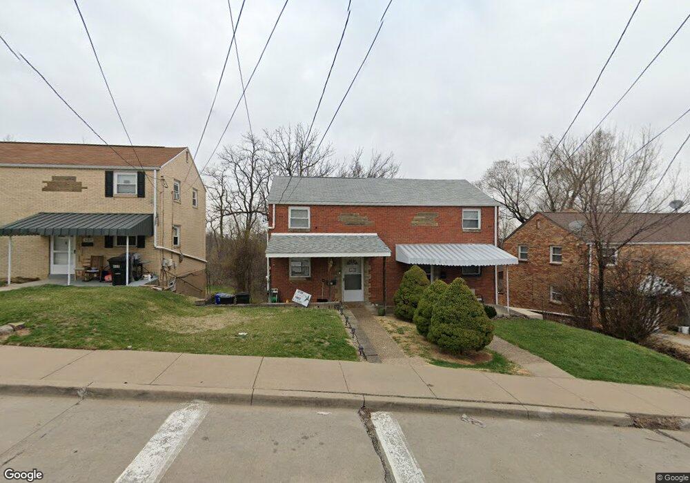
701 Crysler St Pittsburgh, PA 15226
Brookline NeighborhoodEstimated Value: $117,000 - $177,000
2
Beds
1
Bath
828
Sq Ft
$175/Sq Ft
Est. Value
About This Home
This home is located at 701 Crysler St, Pittsburgh, PA 15226 and is currently estimated at $145,236, approximately $175 per square foot. 701 Crysler St is a home located in Allegheny County with nearby schools including Pittsburgh West Liberty K-5, Pittsburgh South Brook, and Pittsburgh Carrick High School.
Ownership History
Date
Name
Owned For
Owner Type
Purchase Details
Closed on
Jun 3, 2011
Sold by
Holzer Kimberly A and Silvat Gary S
Bought by
Murray Raymond and Overend Nicole
Current Estimated Value
Home Financials for this Owner
Home Financials are based on the most recent Mortgage that was taken out on this home.
Original Mortgage
$45,800
Outstanding Balance
$31,499
Interest Rate
4.58%
Mortgage Type
New Conventional
Estimated Equity
$113,737
Purchase Details
Closed on
Sep 7, 2004
Sold by
Nagy Michael
Bought by
Silvat Gary
Home Financials for this Owner
Home Financials are based on the most recent Mortgage that was taken out on this home.
Original Mortgage
$35,000
Interest Rate
6.01%
Mortgage Type
New Conventional
Purchase Details
Closed on
May 17, 1999
Sold by
Nagy Michael J and Nagy Tracy C
Bought by
Nagy Michael J and Nagy Tracy C
Create a Home Valuation Report for This Property
The Home Valuation Report is an in-depth analysis detailing your home's value as well as a comparison with similar homes in the area
Home Values in the Area
Average Home Value in this Area
Purchase History
| Date | Buyer | Sale Price | Title Company |
|---|---|---|---|
| Murray Raymond | $62,000 | -- | |
| Silvat Gary | $46,000 | -- | |
| Nagy Michael J | -- | -- |
Source: Public Records
Mortgage History
| Date | Status | Borrower | Loan Amount |
|---|---|---|---|
| Open | Murray Raymond | $45,800 | |
| Previous Owner | Silvat Gary | $35,000 |
Source: Public Records
Tax History Compared to Growth
Tax History
| Year | Tax Paid | Tax Assessment Tax Assessment Total Assessment is a certain percentage of the fair market value that is determined by local assessors to be the total taxable value of land and additions on the property. | Land | Improvement |
|---|---|---|---|---|
| 2025 | $1,134 | $49,200 | $13,000 | $36,200 |
| 2024 | $1,134 | $49,200 | $13,000 | $36,200 |
| 2023 | $1,134 | $49,200 | $13,000 | $36,200 |
| 2022 | $1,119 | $49,200 | $13,000 | $36,200 |
| 2021 | $1,131 | $49,200 | $13,000 | $36,200 |
| 2020 | $1,113 | $49,200 | $13,000 | $36,200 |
| 2019 | $1,113 | $49,200 | $13,000 | $36,200 |
| 2018 | $893 | $49,200 | $13,000 | $36,200 |
| 2017 | $1,113 | $49,200 | $13,000 | $36,200 |
| 2016 | $233 | $49,200 | $13,000 | $36,200 |
| 2015 | $233 | $49,200 | $13,000 | $36,200 |
| 2014 | $1,089 | $49,200 | $13,000 | $36,200 |
Source: Public Records
Map
Nearby Homes
- 661 Dunster St
- 711 Mayville Ave
- 728 Mayville Ave
- 603 Crysler St
- 863 Dunster St
- 405 Fernhill Ave
- 1937 Plainview Ave
- 2007 Plainview Ave
- 339 Fernhill Ave
- 320 Fernhill Ave
- 1831 Woodward Ave
- 1669 Edgebrook Ave
- 608 Elmbank St
- 2054 Woodward Ave
- 1848 Ringwalt St
- 2143 Plainview Ave
- 2201 Whited St
- 2403 Lynnbrook Ave
- 2400 Pioneer Ave
- 1850 Kiralfy Ave