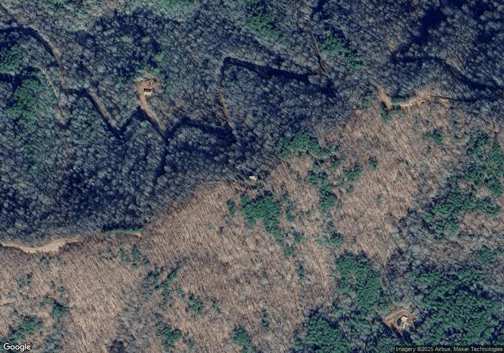
701 Ducks Nest Rd Turtletown, TN 37391
Estimated Value: $305,922 - $413,000
--
Bed
2
Baths
1,920
Sq Ft
$183/Sq Ft
Est. Value
About This Home
This home is located at 701 Ducks Nest Rd, Turtletown, TN 37391 and is currently estimated at $351,231, approximately $182 per square foot. 701 Ducks Nest Rd is a home located in Polk County.
Ownership History
Date
Name
Owned For
Owner Type
Purchase Details
Closed on
Dec 6, 2013
Sold by
Lynn-Courson Joretta L
Bought by
Courson Michael D and Lynn-Courson Joretta L
Current Estimated Value
Purchase Details
Closed on
Feb 1, 2011
Sold by
Courson Michael D
Bought by
Lynn-Courson Joretta L
Purchase Details
Closed on
Jun 3, 2003
Sold by
Cardin Dean E S
Bought by
Courson Michael D
Purchase Details
Closed on
Oct 24, 2002
Bought by
Cardin Dean E S
Purchase Details
Closed on
Aug 15, 2002
Bought by
Branch Banking & Trust Co
Purchase Details
Closed on
Dec 31, 1996
Sold by
Dale Dobbins
Bought by
Donald Boohie and Donald Helen
Purchase Details
Closed on
Aug 30, 1993
Bought by
Crown Mark H Sylvie D Crown
Purchase Details
Closed on
Nov 5, 1992
Bought by
Crown Mark H Sylvie D Crown
Create a Home Valuation Report for This Property
The Home Valuation Report is an in-depth analysis detailing your home's value as well as a comparison with similar homes in the area
Home Values in the Area
Average Home Value in this Area
Purchase History
| Date | Buyer | Sale Price | Title Company |
|---|---|---|---|
| Courson Michael D | -- | -- | |
| Lynn-Courson Joretta L | -- | -- | |
| Courson Michael D | $160,000 | -- | |
| Cardin Dean E S | $85,000 | -- | |
| Branch Banking & Trust Co | $80,000 | -- | |
| Donald Boohie | $24,000 | -- | |
| Crown Mark H Sylvie D Crown | -- | -- | |
| Crown Mark H Sylvie D Crown | -- | -- |
Source: Public Records
Tax History Compared to Growth
Tax History
| Year | Tax Paid | Tax Assessment Tax Assessment Total Assessment is a certain percentage of the fair market value that is determined by local assessors to be the total taxable value of land and additions on the property. | Land | Improvement |
|---|---|---|---|---|
| 2025 | $1,104 | $65,325 | $14,150 | $51,175 |
| 2024 | $1,104 | $65,325 | $14,150 | $51,175 |
| 2023 | $1,104 | $65,325 | $0 | $0 |
| 2022 | $1,093 | $43,500 | $14,150 | $29,350 |
| 2021 | $1,093 | $43,500 | $14,150 | $29,350 |
| 2020 | $1,093 | $43,500 | $14,150 | $29,350 |
| 2019 | $1,093 | $43,500 | $14,150 | $29,350 |
| 2018 | $1,093 | $43,500 | $14,150 | $29,350 |
| 2017 | $1,100 | $43,600 | $14,150 | $29,450 |
| 2016 | $1,047 | $43,600 | $14,150 | $29,450 |
| 2015 | $1,047 | $43,600 | $14,150 | $29,450 |
| 2014 | $1,047 | $43,585 | $0 | $0 |
Source: Public Records
Map
Nearby Homes
- 299 Sassafras Ridge Rd
- 1051 Ducks Nest Rd
- 3.5AC Sassafras Ridge Rd
- Lot 20 Sassafras Ridge Rd
- 18 Sassafras Ridge Rd
- Lot 18 Sassafras Ridge Rd
- LT 35 Calvender Rd
- Lot 32 Calvender Rd
- 167 Calvender Rd
- 115 Calvender Rd
- 0 Singo Dr
- 156 Elrod Cir
- 0 Stansbury Mountain Rd
- 254 Padgett Ln
- 29.40 Ac Bethlehem Rd
- 119 Cantrell Ln
- 227 Mcallister Rd
- 385 Elrod Cir
- 1500 Bear Mountain Rd
- Lot 6&7 Donley Rd
- 885 Ducks Nest Rd
- 945 Ducks Nest Rd
- 1510 Stansbury Mountain Rd
- 7.8 acs Ducks Nest Rd
- LOT 4 Ducks Nest Rd
- 00 Ducks Nest Rd
- 1109 Ducks Nest Rd
- 0 Laural Ridge Dr
- 1403 Stansbury Mountain Rd
- 1000 Ducks Nest Rd
- 100 Ducks Nest Rd
- 573 Ducks Nest Rd
- 1049 Ducks Nest Rd
- 266 Sassafras Ridge Rd
- 3 ACS Laurel Ridge Dr
- Lot 19 Sassafras Ridge Dr
- 1311 Stansbury Mountain Rd
- Lot 30 Sassafras Ridge Rd
- 295 Sassafras Ridge Rd
- 3.5 Ac Sassafras Ridge Rd
