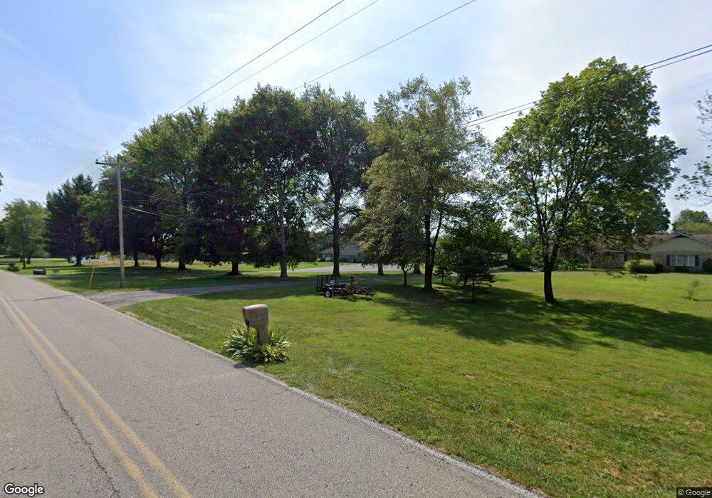
701 E 1000 N Morristown, IN 46161
Estimated Value: $329,000 - $416,000
5
Beds
3
Baths
2,238
Sq Ft
$162/Sq Ft
Est. Value
About This Home
This home is located at 701 E 1000 N, Morristown, IN 46161 and is currently estimated at $363,451, approximately $162 per square foot. 701 E 1000 N is a home located in Shelby County with nearby schools including Morristown Elementary School and Morristown Junior/Senior High School.
Ownership History
Date
Name
Owned For
Owner Type
Purchase Details
Closed on
May 26, 2020
Sold by
Lux Natalie L
Bought by
Lux Natalie L and Lux Travis
Current Estimated Value
Purchase Details
Closed on
Aug 22, 2014
Sold by
Powers Charles F
Bought by
Lux Natalie L
Home Financials for this Owner
Home Financials are based on the most recent Mortgage that was taken out on this home.
Original Mortgage
$136,000
Outstanding Balance
$103,661
Interest Rate
4.1%
Mortgage Type
Construction
Estimated Equity
$259,790
Create a Home Valuation Report for This Property
The Home Valuation Report is an in-depth analysis detailing your home's value as well as a comparison with similar homes in the area
Purchase History
| Date | Buyer | Sale Price | Title Company |
|---|---|---|---|
| Lux Natalie L | -- | None Available | |
| Lux Natalie L | -- | None Available |
Source: Public Records
Mortgage History
| Date | Status | Borrower | Loan Amount |
|---|---|---|---|
| Open | Lux Natalie L | $136,000 |
Source: Public Records
Tax History Compared to Growth
Tax History
| Year | Tax Paid | Tax Assessment Tax Assessment Total Assessment is a certain percentage of the fair market value that is determined by local assessors to be the total taxable value of land and additions on the property. | Land | Improvement |
|---|---|---|---|---|
| 2024 | $1,855 | $235,400 | $26,700 | $208,700 |
| 2023 | $1,972 | $236,700 | $26,700 | $210,000 |
| 2022 | $2,173 | $243,900 | $26,700 | $217,200 |
| 2021 | $1,704 | $208,200 | $26,700 | $181,500 |
| 2020 | $1,583 | $201,000 | $26,700 | $174,300 |
| 2019 | $1,331 | $177,800 | $26,100 | $151,700 |
| 2018 | $1,186 | $163,400 | $26,100 | $137,300 |
| 2017 | $1,206 | $171,200 | $26,100 | $145,100 |
| 2016 | $1,167 | $176,400 | $26,100 | $150,300 |
| 2014 | $1,052 | $166,100 | $25,000 | $141,100 |
| 2013 | $1,052 | $160,300 | $24,400 | $135,900 |
Source: Public Records
Map
Nearby Homes
- 256 E 1000 N
- 11131 N State Road 9
- 1898 E 1000 N
- 11600 N 100 E
- 1749 E 850 N
- 11761 N 100 E
- 940 W 1090 N
- 10937 N 250 E
- 83 E Walnut St
- 10812 N Blue River Trail
- 2903 E Freeport Rd
- 657 W Brookville Rd
- 10618 N 300 E
- 8825 N 300 E
- 6 U S 52
- 0 S 300 East- 2
- 5 U S 52
- 5723 S 100 W
- 632 S Washington St
- 1069 W Railroad St
- 681 E 1000 N
- 710 E 1000 N
- 744 E 1000 N
- 785 E 1000 N
- 640 E 1000 N
- 737 E 1000 N
- 815 E 1000 N
- 612 E 1000 N
- 9966 N State Road 9
- 550 E 1000 N
- 690 E Freeport Rd
- 857 E 1000 N
- 9918 N State Road 9
- 9918 Indiana 9
- 859 E 1000 N
- 9768 N State Road 9
- 860 E 1000 N
- 9856 N State Road 9
- 10160 N State Road 9
- 9756 N State Road 9
